4.4 km away
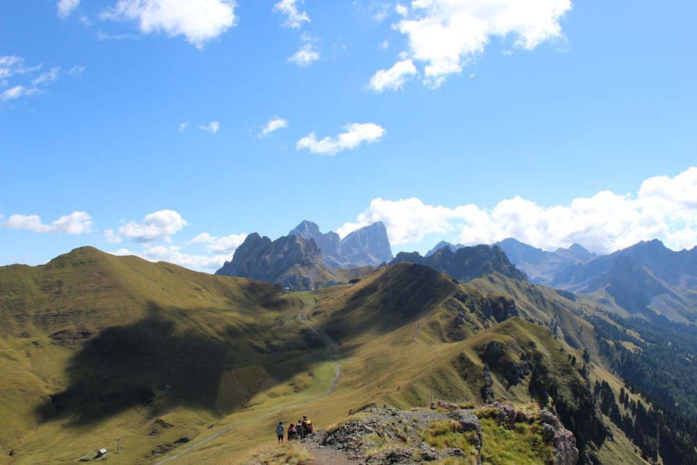
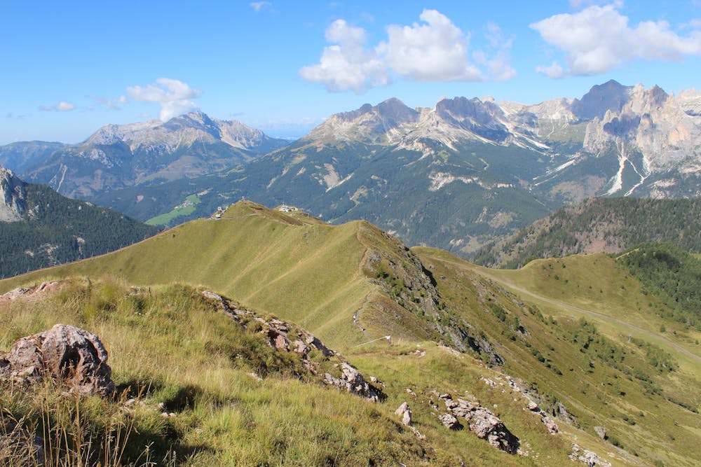
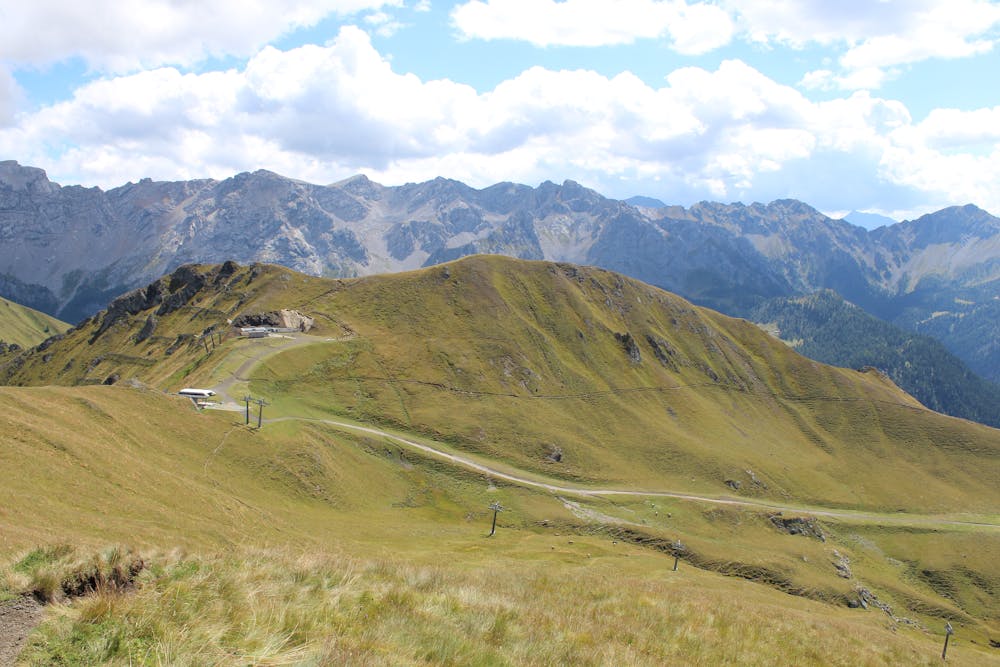
Alta Via 2 – Rifugio Contrin to Rifugio Passo Valles
Another long day out on the AV2 trail!
Severe Hiking
- Distance
- 16 km
- Ascent
- 1.1 km
- Descent
- 1 km
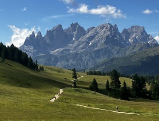
Ring: Pozza di Fassa - Buffaure - Sas D'adam - Su l'Aut - Col Bel - Pozza di Fassa
Hiking Difficult

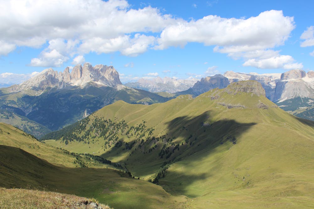
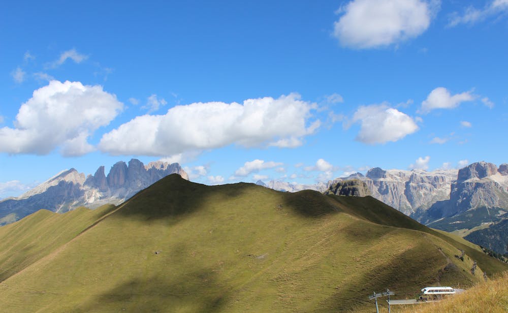
Walking on the crests on grassy route with a 360° panorama on some of Dolomites best rocks: Latemar, Odle, Catinaccio, Vajolet, Antermoia, Sassopiatto, Sassolungo, Gruppo del Sella, Sass Pordoi, Piz Boè, Marmolada, Gran Vernel, Cima Uomo e Monzoni. Ring starts @2050m, peaks @2515m, arrives @1350m. Ring includes a lunch deviation to Rifugio Tobià del Giàgher
Difficult
Hiking trails where obstacles such as rocks or roots are prevalent. Some obstacles can require care to step over or around. At times, the trail can be worn and eroded. The grade of the trail is generally quite steep, and can often lead to strenuous hiking.

Some trail sections have exposed ledges or steep ascents/descents where falling could cause serious injury.

Away from help but easily accessed.
4.4 km away
Another long day out on the AV2 trail!
Severe Hiking
7.1 km away
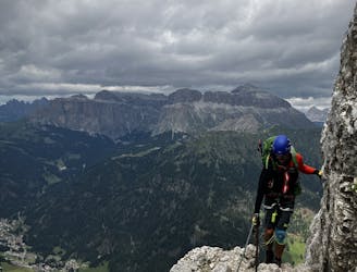
A big day for those chasing another vertical via ferrata!
Extreme Hiking
10 km away
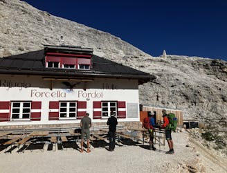
A good day of hiking with an incredible viewpoint!
Severe Hiking

11 routes · Hiking