4.5 km away
Val Canali
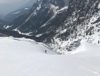
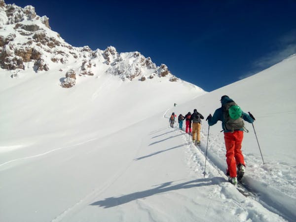
A true high mountain experience crossing the Pale di San Martino.
Difficult Ski Touring
- Distance
- 15 km
- Ascent
- 626 m
- Descent
- 2.2 km
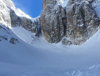
canale estremamente ripido da affrontare se si è sciatori esperti ed allenati.
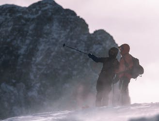
Ski Touring Severe

This is a popular ski touring route which is generally considered to be severe. It's remote, it features high exposure (e3) and is typically done between December and February. From a low point of 2 km to the maximum altitude of 3.1 km, the route covers 2.4 km, 1172 vertical metres of ascent and 42 vertical metres of descent. You'll need skins, ice axe and crampons to complete it safely.
Salita estremamente unica nel gruppo delle Pale di San Martino. Prestare molta attenzione in base alle condizioni della neve in quanto la discesa è estremamente difficile.
Severe
Steep skiing at 38-45 degrees. This requires very good technique and the risk of falling has serious consequences.

In case of a fall, death is highly likely.

Away from help but easily accessed.
4.5 km away
A true high mountain experience crossing the Pale di San Martino.
Difficult Ski Touring
4.5 km away
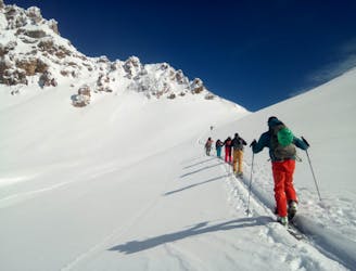
A rightly popular destination in the Pale di San Martino.
Difficult Ski Touring
4.6 km away
A narrow line just below the Pala di San Martino.
Extreme Ski Touring
8.4 km away
A linear cruise through some typically beautiful Dolomites valleys.
Easy Ski Touring
3 routes · Ski Touring