1.2 km away
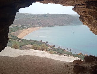
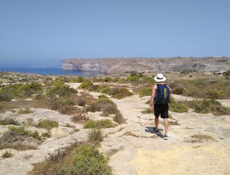
Marsalforn to Ramla Bay and Xaghra.
A rugged hike to a gorgeous sandy beach and then back through peaceful dusty streets.
Difficult Hiking
- Distance
- 6.9 km
- Ascent
- 200 m
- Descent
- 200 m
A fun little mini-hike to a local landmark
Hiking Difficult

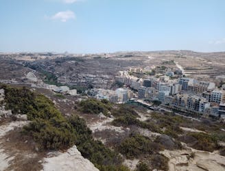
Anytime you drive from Victoria down into Marsalforn, you can't help but notice the Is-Salvatur (Our Saviour Statue) on the left as you approach the coast. The statue looks like it would have a fabulous views, and looks are not deceiving!
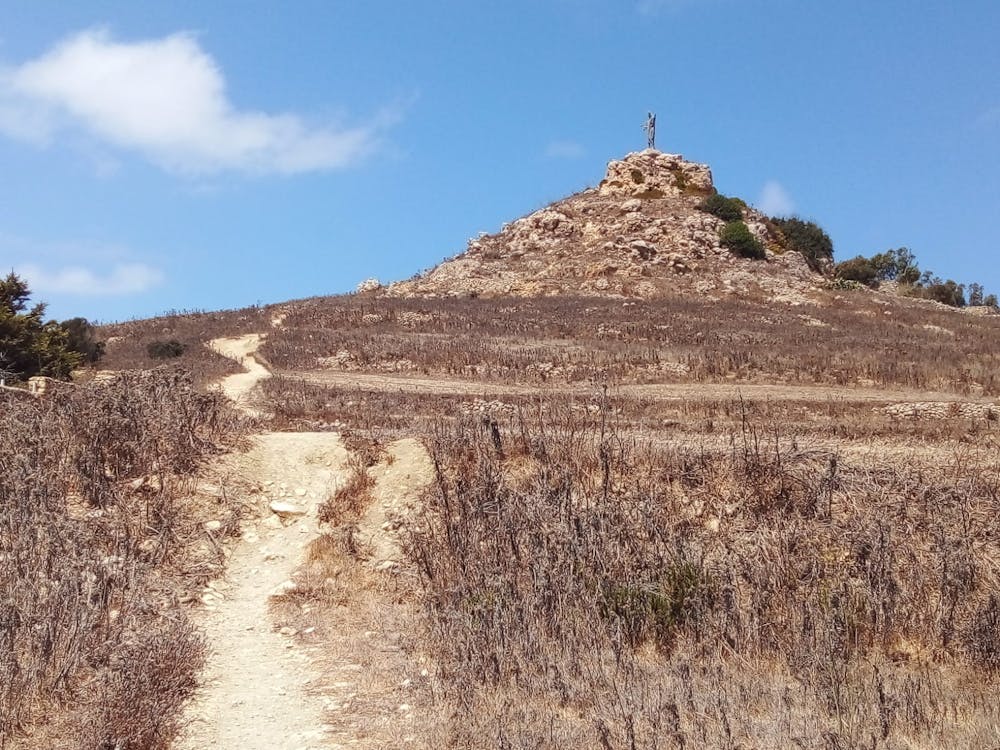
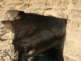
The hike to the statue is short and steep, but the final 2 metres of it are the crux - you can't reach the madonna without doing a couple of very easy scrambling moves. If you stopped just below the madonna then the FATMAP grade of this hike drops to "moderate".
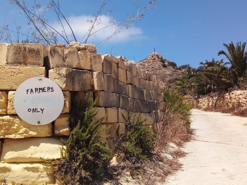
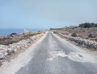
Drive out of Victoria (or catch the bus) and park up at a large, dusty parking area opposite the Ivory Suite wedding venue. Hike north up the road towards Marsalforn and then turn off left onto a concrete track with a no entry sign which has "farmers only" written on it. There's a photo of the sign attached to this adventure. Despite going into seemingly private land, this hike appears to be perfectly legal, so don't worry too much about passing the sign.
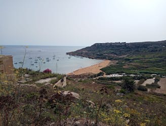
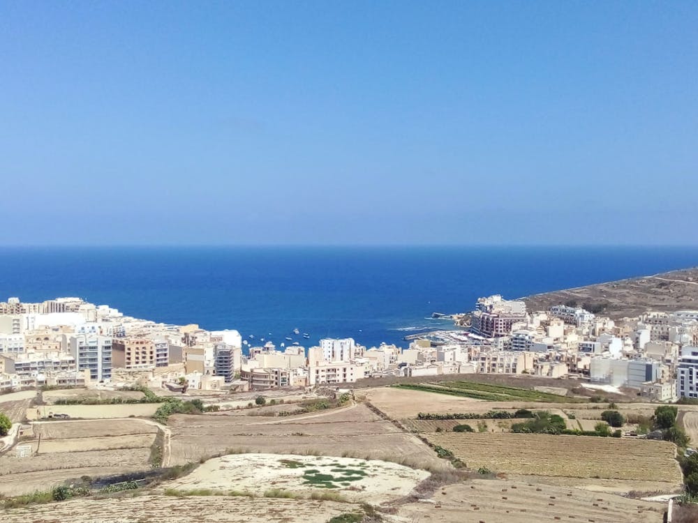
Once off the road the concrete track climbs and quickly turns into a rocky path. The rocky path is pretty steep and, under the hot sun, the ascent can feel tough despite its short length. The views reveal themselves gradually and before you know it you're beneath the madonna with Marsalforn bay and much of Gozo's interior laid out below you. Scramble easily up to the madonna and soak it all in.
Head back down the same way and toast one of the easiest summit hikes in Malta with a drink in Marsalforn!
Difficult
Hiking trails where obstacles such as rocks or roots are prevalent. Some obstacles can require care to step over or around. At times, the trail can be worn and eroded. The grade of the trail is generally quite steep, and can often lead to strenuous hiking.

The trail contains some obstacles such as outcroppings and rock which could cause injury.
Away from help but easily accessed.
1.2 km away
A rugged hike to a gorgeous sandy beach and then back through peaceful dusty streets.
Difficult Hiking
1.2 km away
Go from seaside resort to peaceful village and pass through some fabulous scenery en route.
Difficult Hiking
4.3 km away
Travel between 2 of Gozo's main villages and visit 2 of its finest swimming spots.
Moderate Hiking
4.6 km away
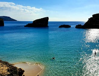
Possibly the highlight of the Gozo Coastal Trail - this is a gorgeous hike along a wild coastline.
Moderate Hiking
4.8 km away
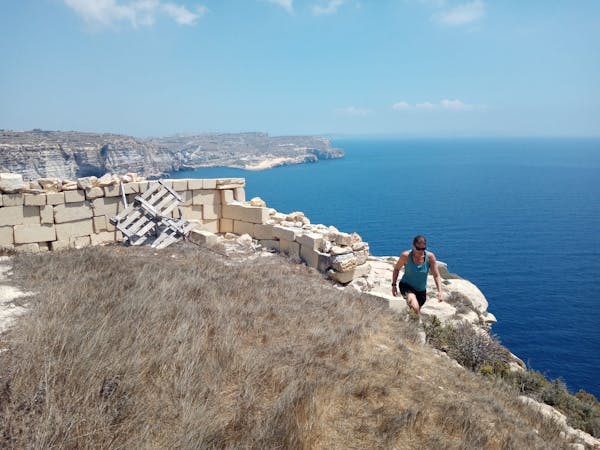
One of the finest hikes on Gozo which passes several of the island's best known landmarks.
Difficult Hiking
5.7 km away
Go from Gozo's biggest port to one of its most popular beaches via some breathtaking clifftops.
Moderate Hiking
8.2 km away
Hike around Malta's 3rd largest island in a single day!
Moderate Hiking
5 routes · Hiking