9.3 km away
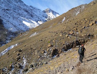
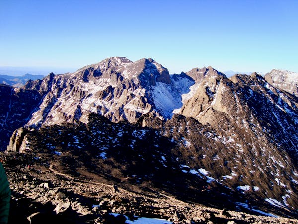
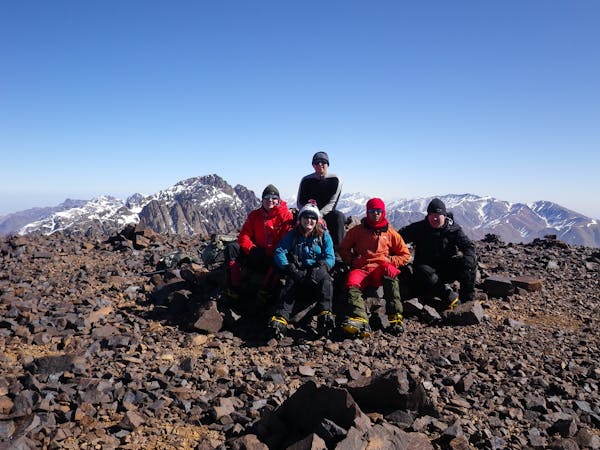
Mount Toubkal Summit Hike: Imlil to Refuge du Toubkal
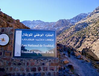
Day 1: A moderate, non-technical hike to North Africa's highest summit: Mount Toubkal.
Difficult Hiking
- Distance
- 11 km
- Ascent
- 1.5 km
- Descent
- 80 m
Rando de découverte du Tizrag et du secteur de l'Oukaïmeden - WE nouveaux adhérents 2022
Hiking Easy

This is a popular hiking route which is generally considered to be easy. It's not remote, it features low exposure and is typically done in undefined. From a low point of 2.6 km to the maximum altitude of 2.8 km, the route covers 11 km, 387 vertical metres of ascent and 384 vertical metres of descent.
Rando de découverte du Tizrag et du secteur de l'Oukaïmeden. Observation de l'habitat, faune et flore, gravures rupestres, géologie et histoire.
Easy
Walking along a well-kept trail that’s mostly flat. No obstacles are present.

The path is on completely flat land and potential injury is limited to falling over.
Close to help in case of emergency.
9.3 km away
Day 1: A moderate, non-technical hike to North Africa's highest summit: Mount Toubkal.
Difficult Hiking
9.6 km away
A classic col crossing into a wonderfully peaceful valley
Moderate Hiking
6 routes · Hiking
5 routes · Hiking

18 routes · Alpine Climbing · Hiking