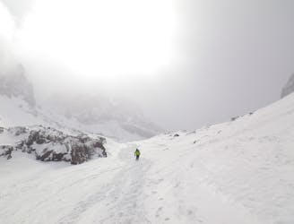
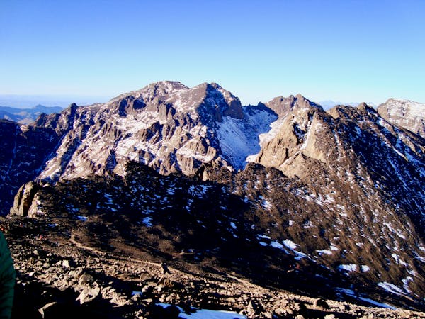
Lepiney Refuge to Toubkal Refuge via Tizi n-Tadat
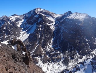
A high and wild col crossing between 2 refuges.
Moderate Hiking
- Distance
- 3.2 km
- Ascent
- 778 m
- Descent
- 596 m
Go hiking in Marrakech - Tensift - Al Haouz with curated guides of the best hikes across the region. With over 44 3D trail maps in FATMAP, you can easily discover and navigate the best trails in Marrakech - Tensift - Al Haouz.
No matter what your next adventure has in store, you can find a guide on FATMAP to help you plan your next epic trip.
Get a top hiking trail recommendation in Marrakech - Tensift - Al Haouz from one of our 3 guidebooks, or get inspired by the 44 local adventures uploaded by the FATMAP community. Start exploring now!
A high and wild col crossing between 2 refuges.
Moderate Hiking
A quiet day which you almost certainly have to yourself.
Difficult Hiking
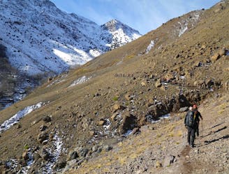
A classic col crossing into a wonderfully peaceful valley
Moderate Hiking
A much wilder option than Toubkal, and one of the best viewpoints in the Atlas mountains.
Severe Hiking
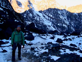
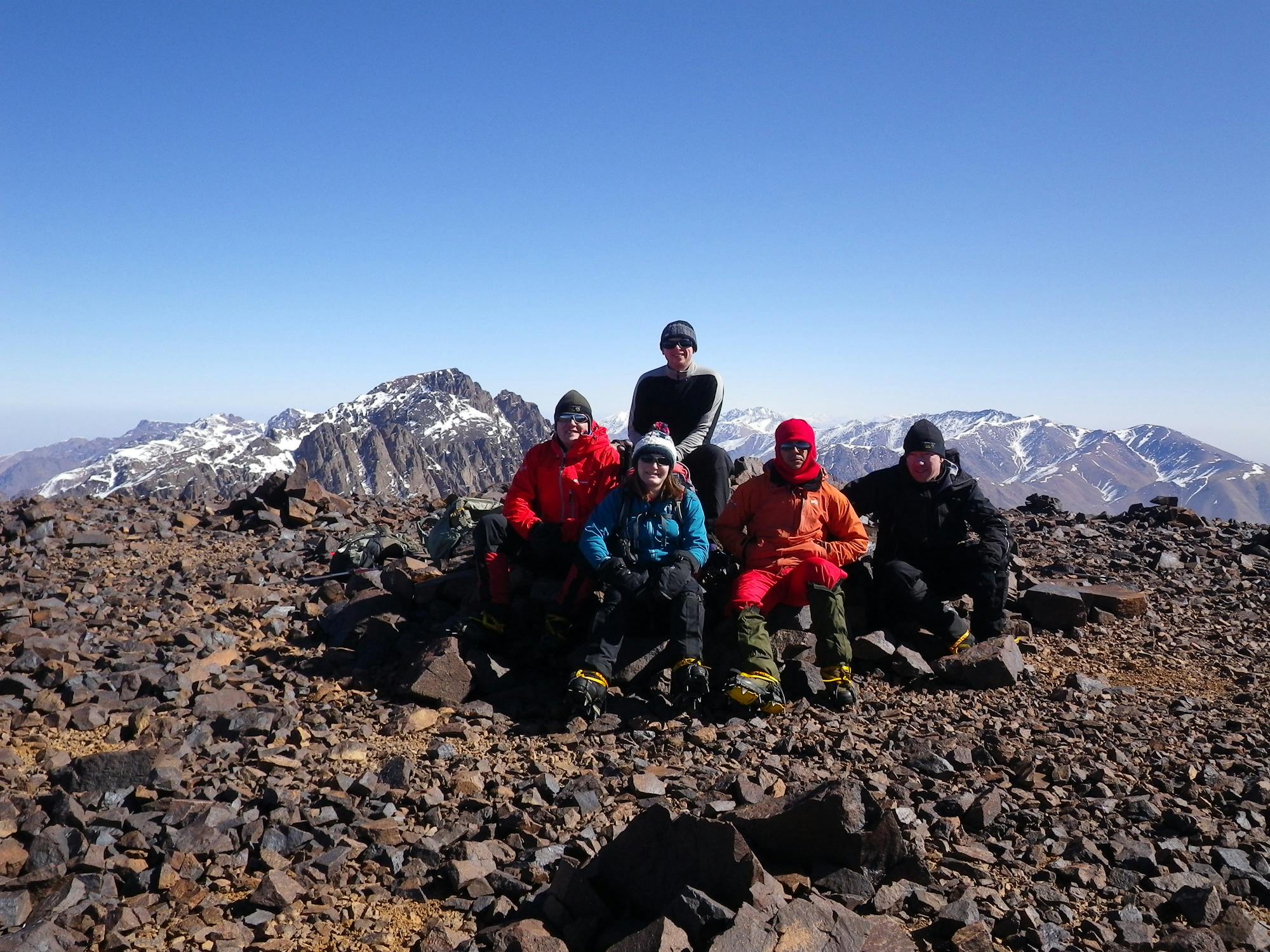
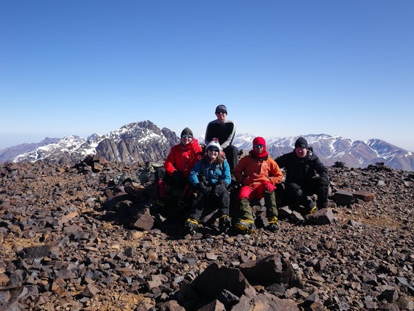
The short but strenuous second day to North Africa's highest peak
Severe Hiking
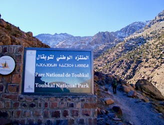
Day 1: A moderate, non-technical hike to North Africa's highest summit: Mount Toubkal.
Difficult Hiking

1 day ascention from Imlil to armed, Toubkal refuge for a short break (and breakfast at 8:30) then the summit and back to Armed.
Severe Hiking
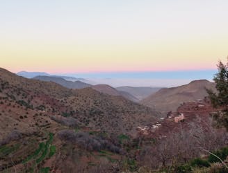
Une belle balade en vallée d'Oussertek
Moderate Hiking
6 routes · Hiking
5 routes · Hiking

18 routes · Alpine Climbing · Hiking