1.6 km away
Imlil to Tizi Oussem
A classic col crossing into a wonderfully peaceful valley
Moderate Hiking
- Distance
- 7.9 km
- Ascent
- 763 m
- Descent
- 621 m
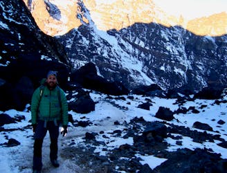
1 day ascention from Imlil to armed, Toubkal refuge for a short break (and breakfast at 8:30) then the summit and back to Armed.
Hiking Severe

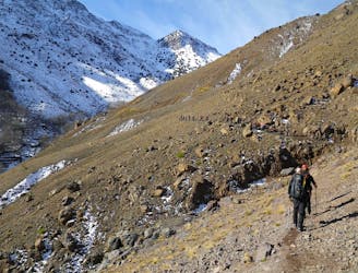
This is a popular hiking route which is generally considered to be severe. It's very remote, it features high exposure and is typically done between March and May. From a low point of 1.9 km to the maximum altitude of 4.2 km, the route covers 27 km, 2251 vertical metres of ascent and 2230 vertical metres of descent.
1 day ascention from Imlil to armed, Toubkal refuge for a short break (and breakfast at 8:30) then the summit and back to Armed.
Severe
Hiking challenging trails where simple scrambling, with the occasional use of the hands, is a distinct possibility. The trails are often filled with all manner of obstacles both small and large, and the hills are very steep. Obstacles and challenges are often unexpected and can be unpredictable.

Some trail sections have exposed ledges or steep ascents/descents where falling could cause serious injury.
Little chance of being seen or helped in case of an accident.
1.6 km away
A classic col crossing into a wonderfully peaceful valley
Moderate Hiking
1.7 km away
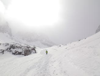
Day 1: A moderate, non-technical hike to North Africa's highest summit: Mount Toubkal.
Difficult Hiking
5 km away
A quiet day which you almost certainly have to yourself.
Difficult Hiking
6.4 km away
A high and wild col crossing between 2 refuges.
Moderate Hiking
6.7 km away
The short but strenuous second day to North Africa's highest peak
Severe Hiking
6.7 km away
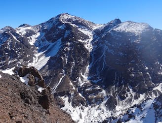
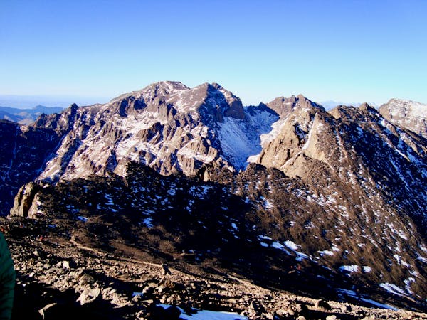
A much wilder option than Toubkal, and one of the best viewpoints in the Atlas mountains.
Severe Hiking
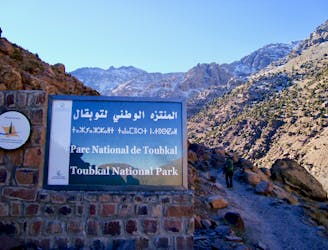
6 routes · Hiking
5 routes · Hiking

18 routes · Alpine Climbing · Hiking