4.9 km away
Lepiney Refuge to Toubkal Refuge via Tizi n-Tadat
A high and wild col crossing between 2 refuges.
Moderate Hiking
- Distance
- 3.2 km
- Ascent
- 778 m
- Descent
- 596 m
A quiet day which you almost certainly have to yourself.
Hiking Difficult

This really is a trekking day which combines everything hikers look for - epic views, peace and quiet, and a beautiful hut waiting for you at the end.
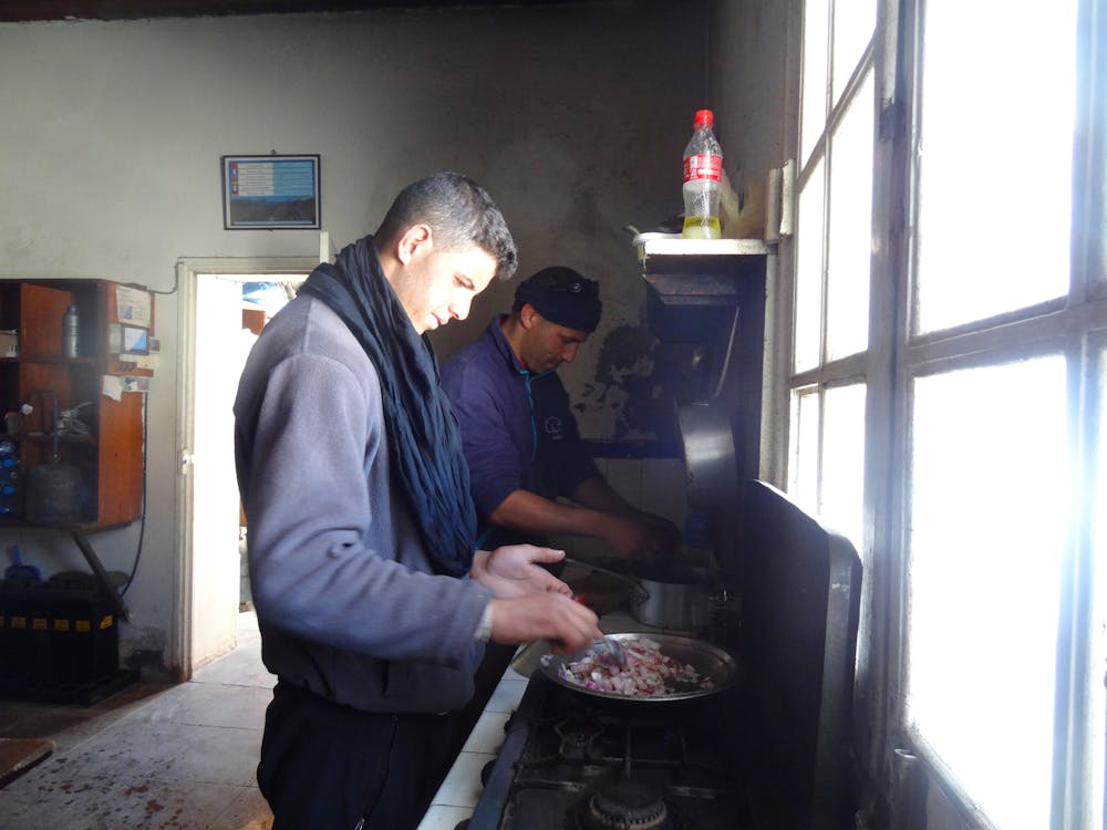
On a logistical note, the guardian for the refuge lives in Tizi Oussem so you will need to contact him and ask him to come with you and open the refuge in return for a fee. This only adds to the sense of adventure and is not something you often encounter in the Alps or other, busier mountain ranges!
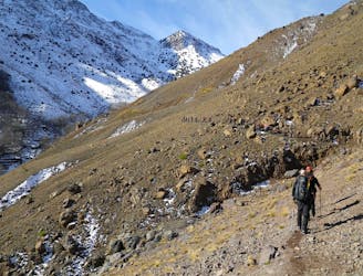
The day begins with a brief retracing of your steps from yesterday to reach a water channel where the trek for today branches off from yesterday's trip. Trek from here for 1.5 hours to the east of the valley floor to reach some bright green fields and a farm.
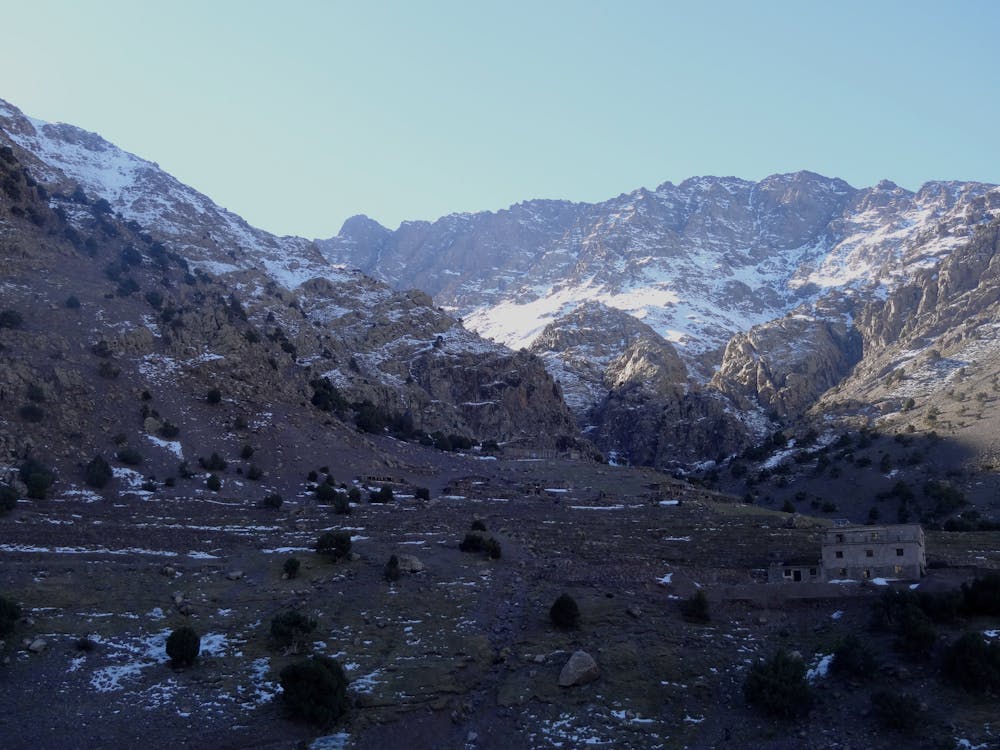
After the farm go into a gorge and climb up through this, passing some small cascades and one huge, 100 metre high waterfall. The final ascent out of the gorge is up a series of steep zig zags and above these you emerge out into another wide valley.
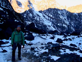
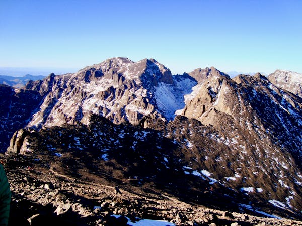
Head up this valley for an hour to reach the Lepiney refuge. The traversing ascent to the hut is clear in summer but in winter it can feel slightly exposed so you might want to put your crampons on if conditions are icy.
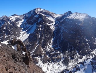
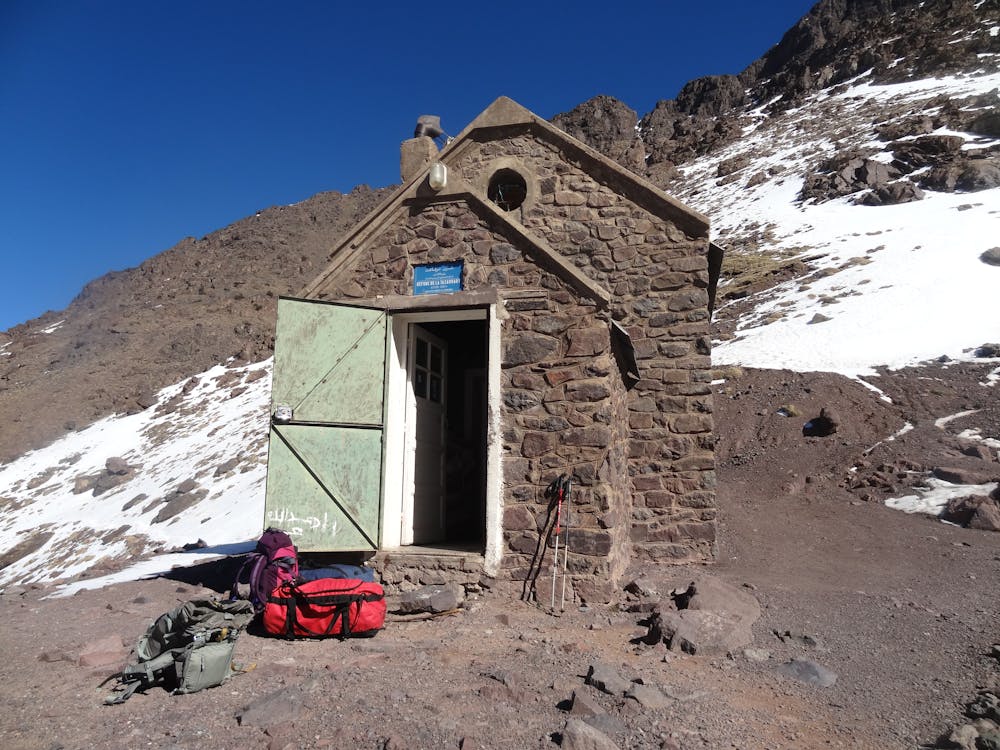
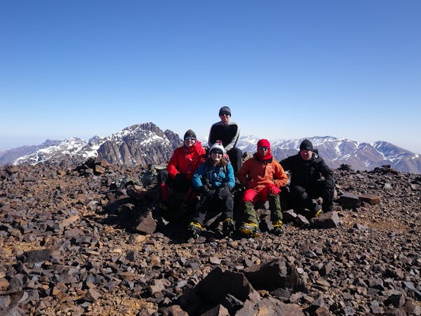
Once at the refuge, it won't take you long to explore! The hut is tiny, cosy and feels really "out there". The view out of the front door of the Tazaghart cliffs is truly spectacular. Settle in for one of the most peaceful nights you will ever experience.
Difficult
Hiking trails where obstacles such as rocks or roots are prevalent. Some obstacles can require care to step over or around. At times, the trail can be worn and eroded. The grade of the trail is generally quite steep, and can often lead to strenuous hiking.

The trail contains some obstacles such as outcroppings and rock which could cause injury.

Little chance of being seen or helped in case of an accident.
4.9 km away
A high and wild col crossing between 2 refuges.
Moderate Hiking
5.4 km away
A classic col crossing into a wonderfully peaceful valley
Moderate Hiking
6 km away
Day 1: A moderate, non-technical hike to North Africa's highest summit: Mount Toubkal.
Difficult Hiking
7 km away
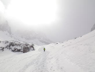
The short but strenuous second day to North Africa's highest peak
Severe Hiking
7 km away
A much wilder option than Toubkal, and one of the best viewpoints in the Atlas mountains.
Severe Hiking
6 routes · Hiking
5 routes · Hiking

18 routes · Alpine Climbing · Hiking