7.4 km away
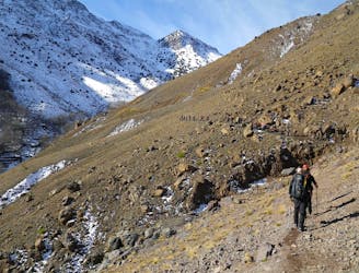
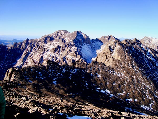
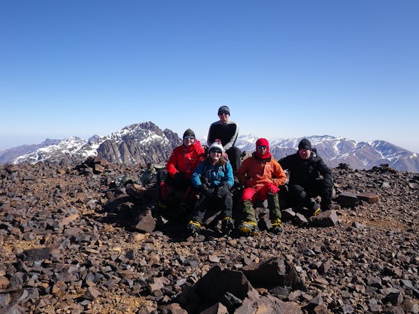
Mount Toubkal Summit Hike: Imlil to Refuge du Toubkal
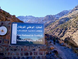
Day 1: A moderate, non-technical hike to North Africa's highest summit: Mount Toubkal.
Difficult Hiking
- Distance
- 11 km
- Ascent
- 1.5 km
- Descent
- 80 m
Une belle balade en vallée d'Oussertek
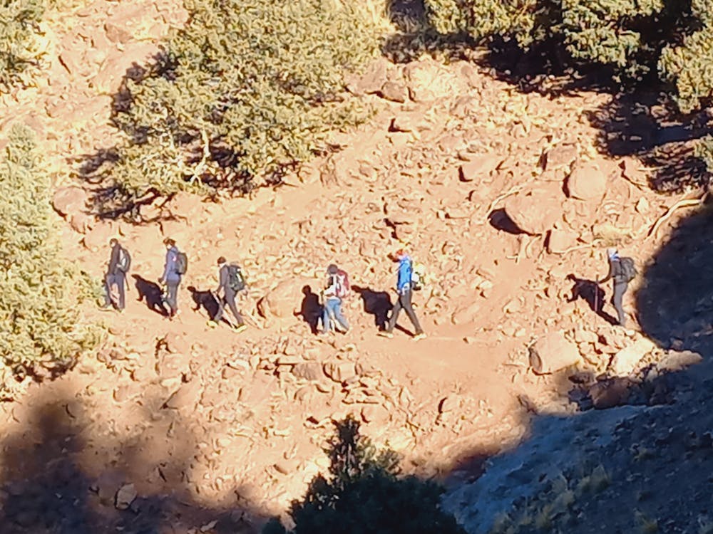
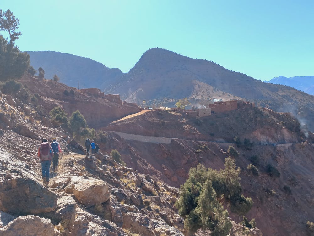
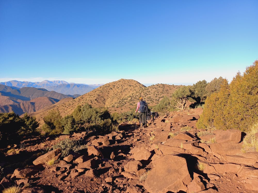
Hiking Moderate

This is a popular hiking route which is generally considered to be moderate. It's remote, it features low exposure and is typically done all year round. From a low point of 2.1 km to the maximum altitude of 2.3 km, the route covers 10 km, 406 vertical metres of ascent and 458 vertical metres of descent.
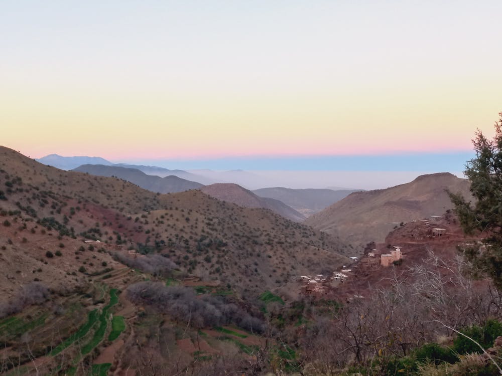
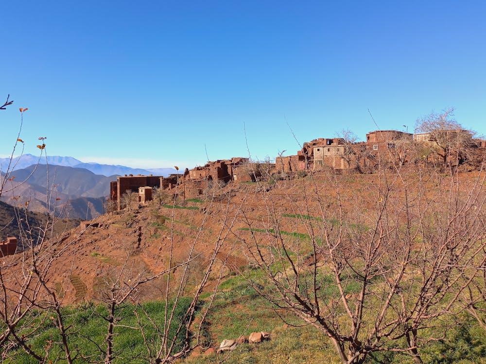
Une très belle randonnée au départ de Gliz, qui nous conduit d'abord au Tizi N'Ismir puis au sommet de Sidi Batach duquel la vue vers les vallées d'Imnaneet d'Oussertek est très belle. Randonnée sur piste ou sentier très agréable.
Moderate
Hiking along trails with some uneven terrain and small hills. Small rocks and roots may be present.

The path is on completely flat land and potential injury is limited to falling over.

Away from help but easily accessed.
7.4 km away
Day 1: A moderate, non-technical hike to North Africa's highest summit: Mount Toubkal.
Difficult Hiking
7.6 km away
A classic col crossing into a wonderfully peaceful valley
Moderate Hiking
6 routes · Hiking
5 routes · Hiking

18 routes · Alpine Climbing · Hiking