3 km away
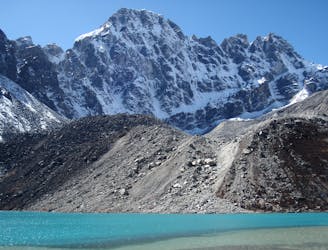
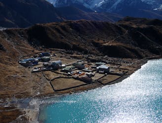
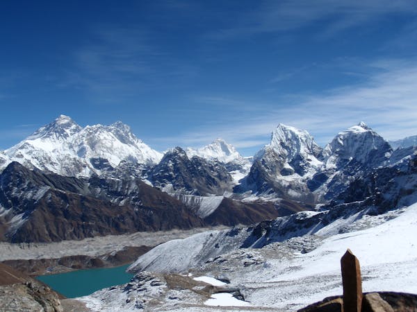
Gokyo Ri
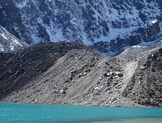
It might not be highest summit in these parts but the view from Gokyo Ri is hard to beat!
Difficult Hiking
- Distance
- 7.3 km
- Ascent
- 681 m
- Descent
- 757 m
A truly classic Col crossing from the relative peace of the Gokyo region to the epic grandeur of the main Khumbu valley.
Hiking Difficult

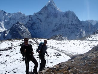
Get an early start for the crossing of the Cho La, partly because there is a lot of distance to cover and also because the light is generally better in the mornings and there is less chance of afternoon clouds obscuring the view from the col.
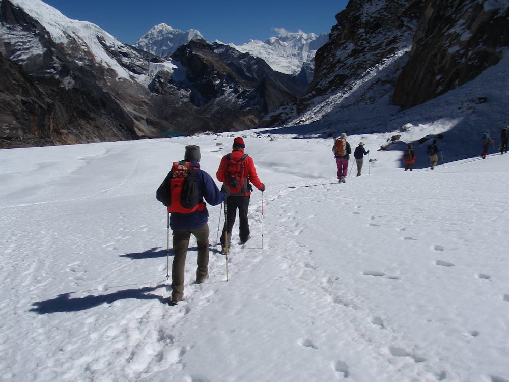
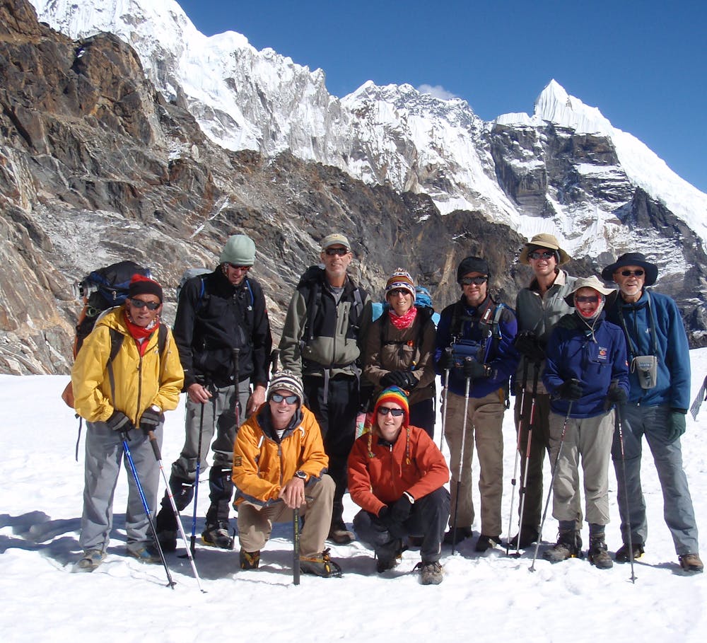
From the farming village of Dragnag begin by gradually ascending north-east to reach a boulder field. Cross this (which is awkward in places but never difficult) and at the far side begin the fairly steep climb up to the Cho La itself. The trail up to the pass is rocky and involves some occasional easy scrambling but nothing that might require the use of a rope. At times the final climb to the col can be snow covered.
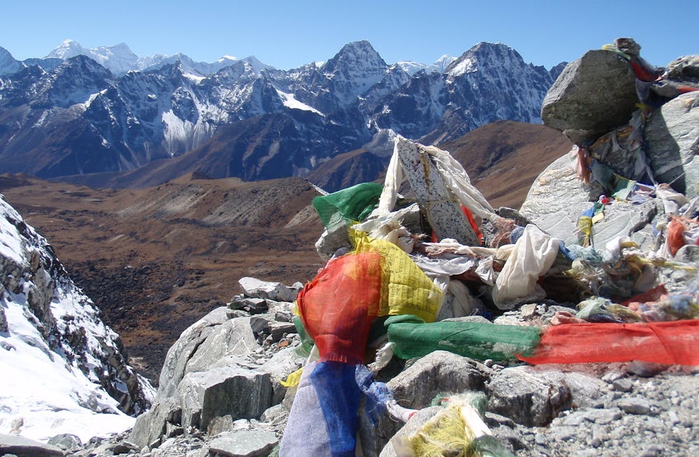
Once on the col the view across to Ama Dablam are truly spectacular and you will understand why the mountain is said to be the most beautiful peak in the World. Descend from the col on a small, snow covered glacier which you will not need to rope up for but which can be slippery in icy conditions. Trekking poles or even some lightweight crampons might be a good idea.
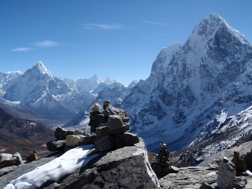
Once off the glacier the path becomes much more distinct and is well marked by cairns. The views to your right open up as you descend, with the north faces of Cholatse and Tawoche looking particularly impressive. The walk down is not long and soon after reaching flatter terrain you will arrive in the peaceful little village of Dzonghla which sits directly under the fluted north face of Cholatse.
Difficult
Hiking trails where obstacles such as rocks or roots are prevalent. Some obstacles can require care to step over or around. At times, the trail can be worn and eroded. The grade of the trail is generally quite steep, and can often lead to strenuous hiking.

The trail contains some obstacles such as outcroppings and rock which could cause injury.

Little chance of being seen or helped in case of an accident.
3 km away
It might not be highest summit in these parts but the view from Gokyo Ri is hard to beat!
Difficult Hiking
4.1 km away
The spectacular final day into the upper Gokyo valley.
Moderate Hiking
5.3 km away
A short day which provides view after view as you enter the highest mountains in the World.
Moderate Hiking
8.3 km away
A short day which takes you even higher into the Khumbu’s huge peaks.
Moderate Hiking
8.9 km away
Himalayan trekking at its best over a wild col.
Difficult Hiking
8.9 km away
Day 6: A final push up to the highest overnight stop on the trek.
Moderate Hiking
10 km away
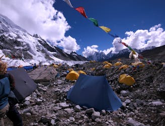
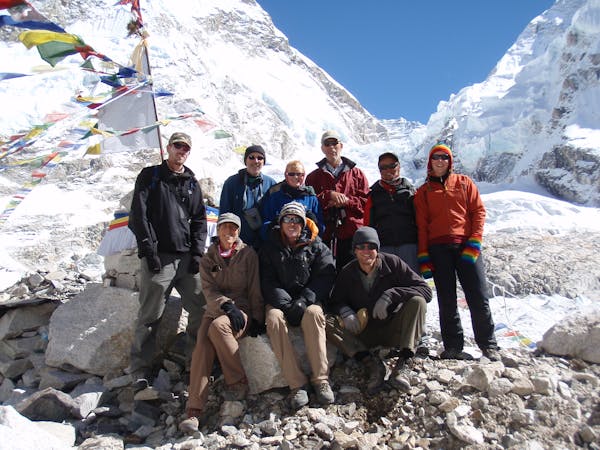
A big day! Adventurous trekking at its best, with huge views across the Everest range, this is one of the highlights of the Khumbu.
Difficult Hiking
13 routes · Hiking