Machermo to Gokyo
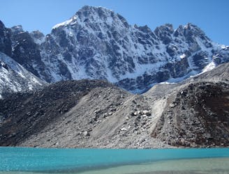
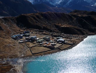
The spectacular final day into the upper Gokyo valley.
Moderate Hiking
- Distance
- 6.8 km
- Ascent
- 470 m
- Descent
- 99 m
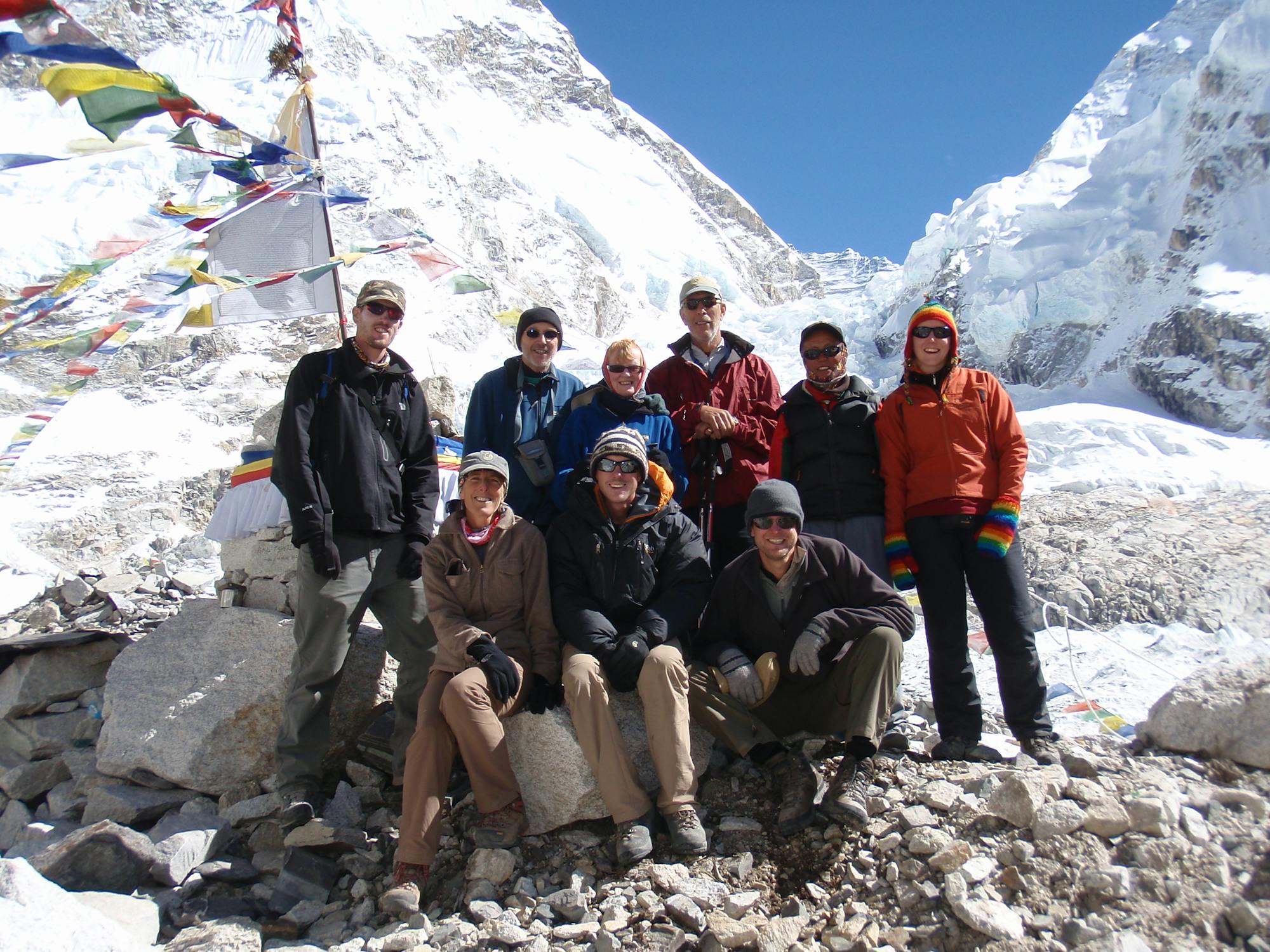
Go hiking in Sagarmatha with curated guides of the best hikes across the region. With over 48 3D trail maps in FATMAP, you can easily discover and navigate the best trails in Sagarmatha.
No matter what your next adventure has in store, you can find a guide on FATMAP to help you plan your next epic trip.
Get a top hiking trail recommendation in Sagarmatha from one of our 5 guidebooks, or get inspired by the 48 local adventures uploaded by the FATMAP community. Start exploring now!


The spectacular final day into the upper Gokyo valley.
Moderate Hiking
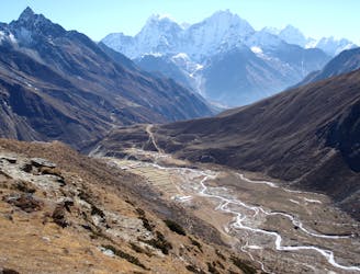
A short day which takes you even higher into the Khumbu’s huge peaks.
Moderate Hiking
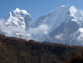
A day to bid farewell to the main Everest Base Camp trail and head into the peaceful Gokyo valley
Moderate Hiking
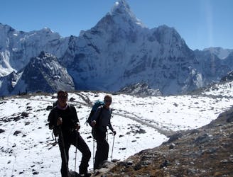
Himalayan trekking at its best over a wild col.
Difficult Hiking
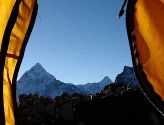
A short day which provides view after view as you enter the highest mountains in the World.
Moderate Hiking
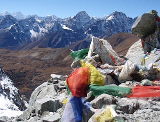
A truly classic Col crossing from the relative peace of the Gokyo region to the epic grandeur of the main Khumbu valley.
Difficult Hiking
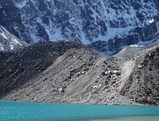
It might not be highest summit in these parts but the view from Gokyo Ri is hard to beat!
Difficult Hiking
A big day! Adventurous trekking at its best, with huge views across the Everest range, this is one of the highlights of the Khumbu.
Difficult Hiking
15 routes · Alpine Climbing · Hiking
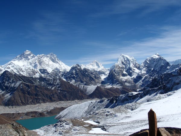
13 routes · Hiking

8 routes · Alpine Climbing · Freeride Skiing · Hiking
18 routes · Alpine Climbing · Hiking