56 m away
Everest Base Camp Trek: Lobuche to Gorak Shep
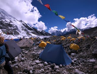
Day 6: A final push up to the highest overnight stop on the trek.
Moderate Hiking
- Distance
- 4.3 km
- Ascent
- 299 m
- Descent
- 54 m
Himalayan trekking at its best over a wild col.
Hiking Difficult

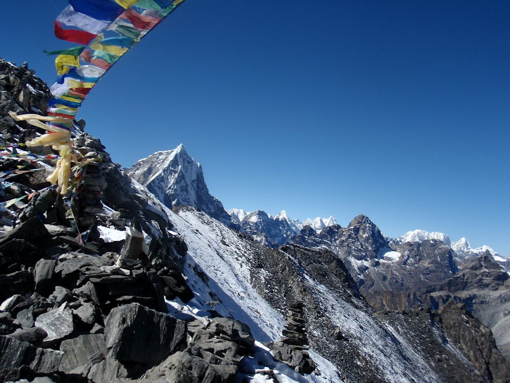
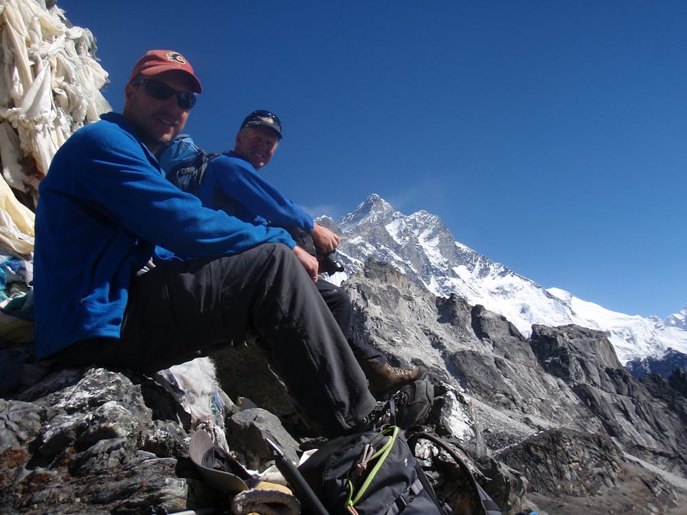
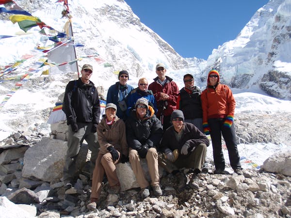
Despite its proximity to the main Everest Base Camp trail, the Kongma La is often surprisingly quiet, and is crossed less frequently than the Cho La. It breaches some seemingly impossible terrain and is possibly the finest of the 3 classic Khumbu cols (the others being the Cho La and Renjo La).
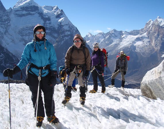
Leave Lobuche and cross over the moraine of the Khumbu Glacier. The exact route differs year by year but it is usually well trodden within a few weeks of trekking season beginning, and cairns dot the route too so route finding is unlikely to be an issue.
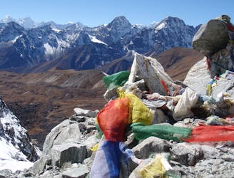
Upon reaching the far side of the glacier the path climbs a grassy slope and then zig zags up scree to a point where you can see across to the Kongma La. A further 45 minutes of rocky traversing leads to the col which is adorned with thousands of prayer flags.
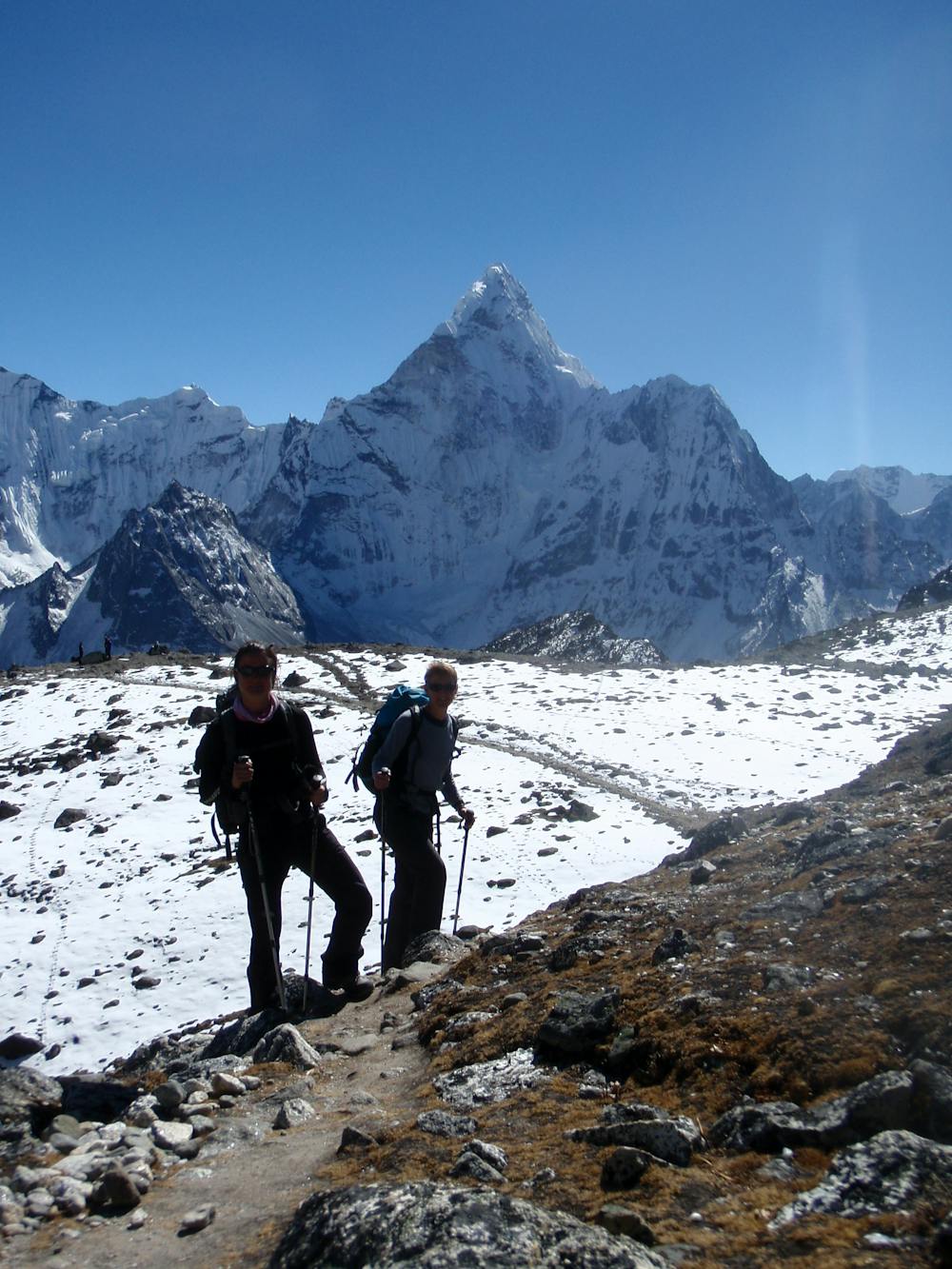
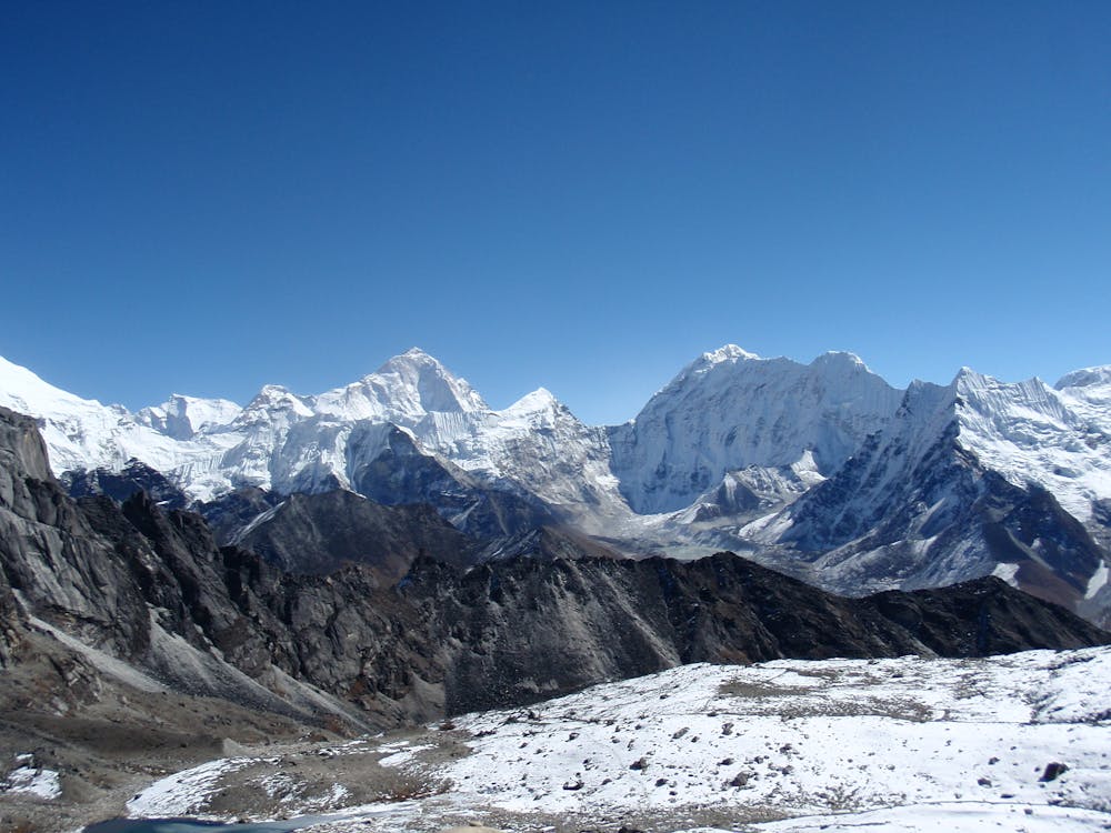
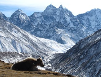
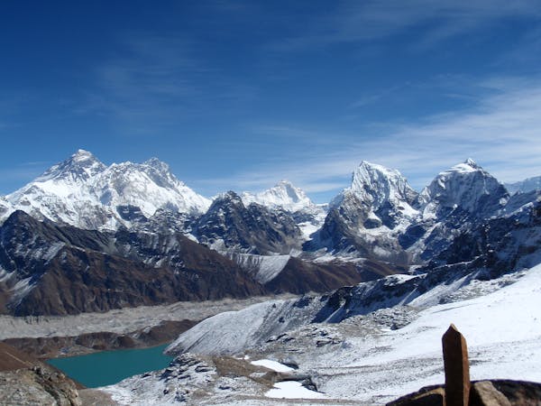
From the top Everest’s summit pyramid is just visible but it’s the Lhotse/Nuptse ridge that dominates the immediate view. Slightly further away is Makalu and in the distance is Cho Oyu, as well as many smaller peaks such as Pumori, which you will have seen close up if you visited Everest Base Camp.
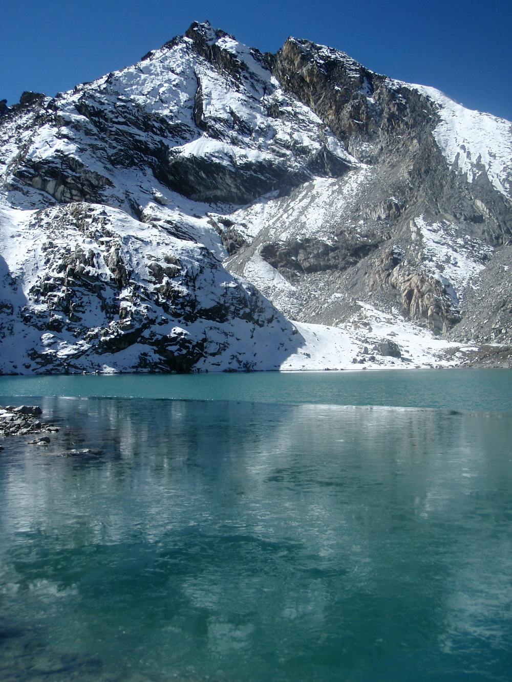
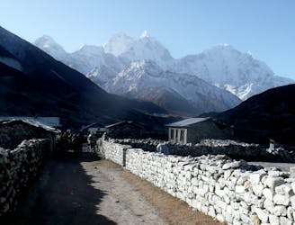
The descent down the far side of the col is one of the most scenic sections of hiking in the Khumbu, which is a big claim but you will understand when you reach this point. Not long after leaving the col you pass a stunning lake (which is often frozen) and then some yak pastures. The final section of the descent down to Dingboche is down steeper grassy slopes which soon give way to the terraced fields that mark the edge of the village.
Difficult
Hiking trails where obstacles such as rocks or roots are prevalent. Some obstacles can require care to step over or around. At times, the trail can be worn and eroded. The grade of the trail is generally quite steep, and can often lead to strenuous hiking.

The trail contains some obstacles such as outcroppings and rock which could cause injury.

Little chance of being seen or helped in case of an accident.
56 m away
Day 6: A final push up to the highest overnight stop on the trek.
Moderate Hiking
3.7 km away
A short day which provides view after view as you enter the highest mountains in the World.
Moderate Hiking
3.9 km away
Day 8: The culmination of a fantastic week of trekking through the biggest mountains on Earth.
Moderate Hiking
4 km away
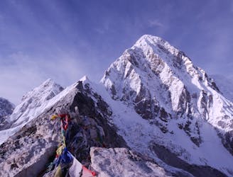
Day 7: Although it is of course possible to descend straight back to Lobuche from Gorak Shep, the ascent of Kala Patthar (a small rocky peak overlooking Everest and the Khumbu Glacier) is highly recommended and is well worth a final bit of uphill effort before the long walk back to Lukla.
Difficult Hiking
6.3 km away
Day 5: An incredibly scenic day which puts you within reach of Base Camp.
Moderate Hiking
7.7 km away
A lovely long hike back into forests, thick air and civilisation.
Moderate Hiking
8.9 km away
A truly classic Col crossing from the relative peace of the Gokyo region to the epic grandeur of the main Khumbu valley.
Difficult Hiking
15 routes · Alpine Climbing · Hiking
13 routes · Hiking