4.2 km away
Mera and Island Peaks Day 15 - Chukhung to Namche
A lovely long hike back into forests, thick air and civilisation.
Moderate Hiking
- Distance
- 24 km
- Ascent
- 832 m
- Descent
- 2.1 km
Day 5: An incredibly scenic day which puts you within reach of Base Camp.
Hiking Moderate

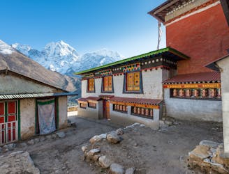
After a rest day in Dingboche it is time to get on the trail again. Start the day by heading north-west out of Dingboche and passing by a particularly well positioned Stupa (shrine) with a great view of where you've come from, and where you're headed next.
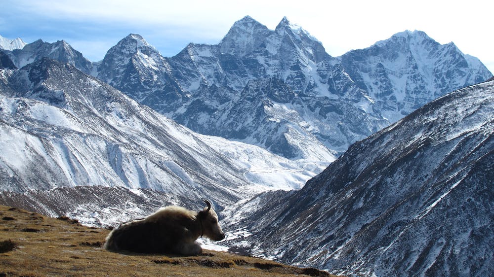
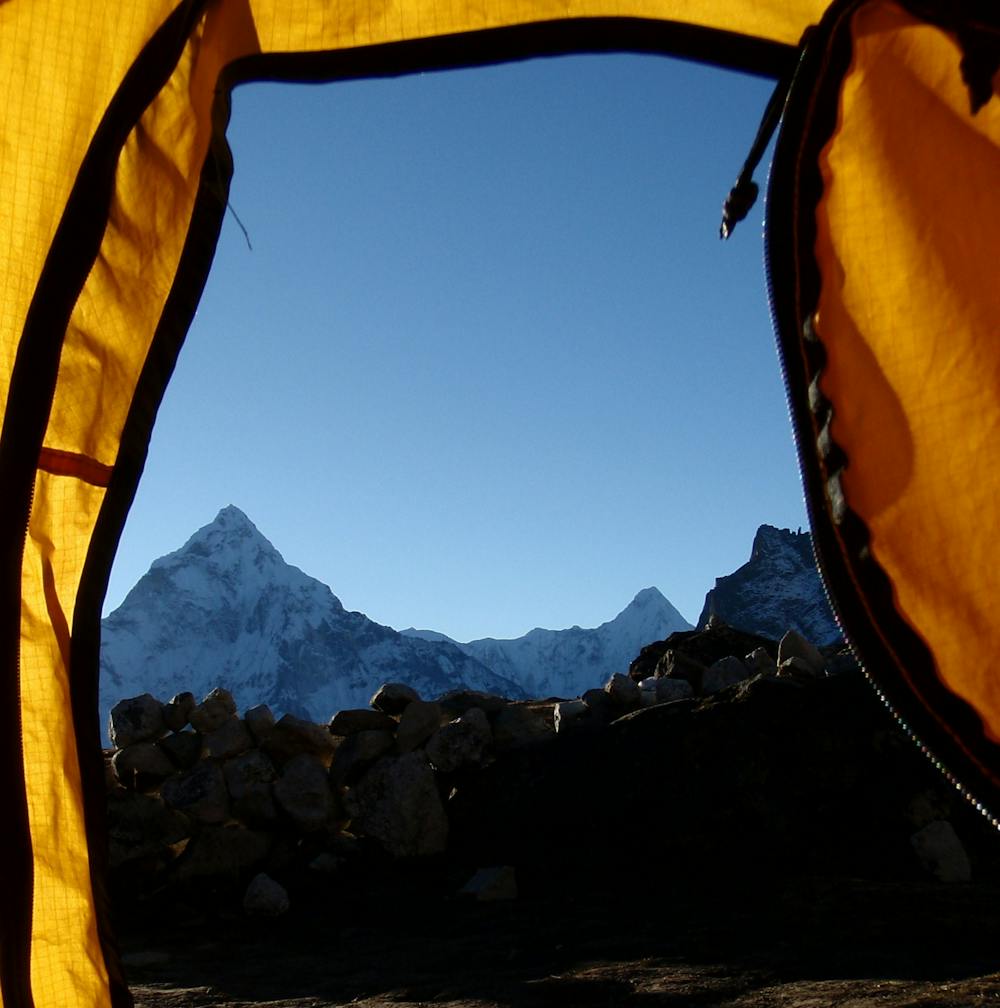
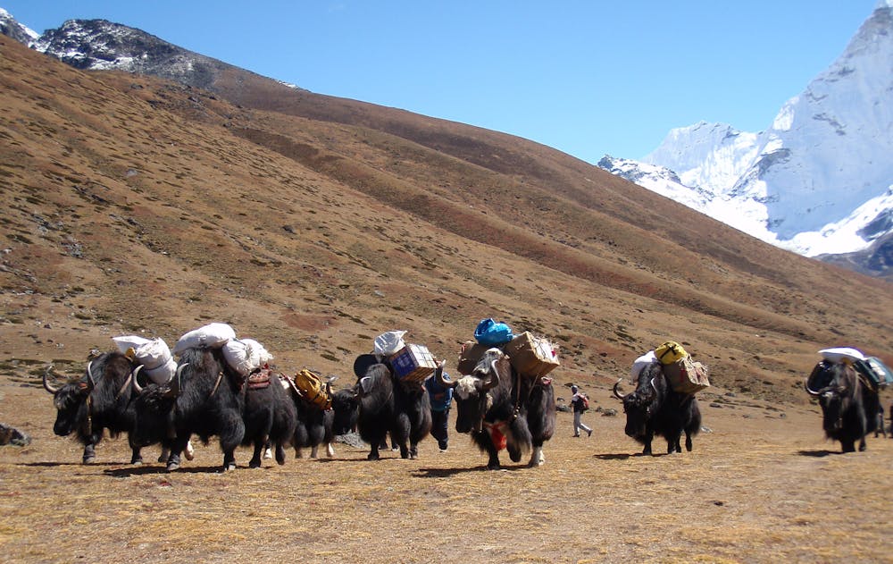
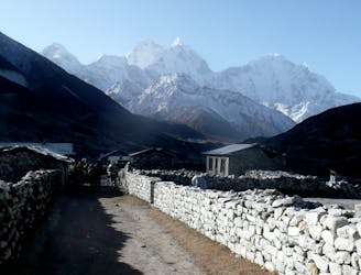
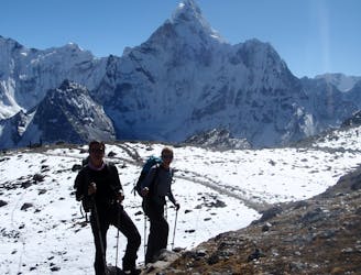
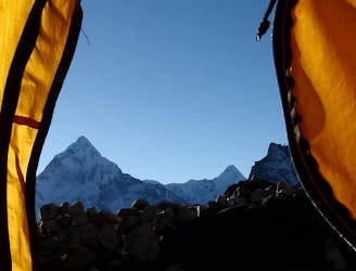
Continue north-west and pass above the village of Pheriche to reach the tiny settlement of Dugla. The section of trail to Dugla enjoys the most staggering view of Ama Dablam so make sure you occasionally turn around and enjoy the panorama.
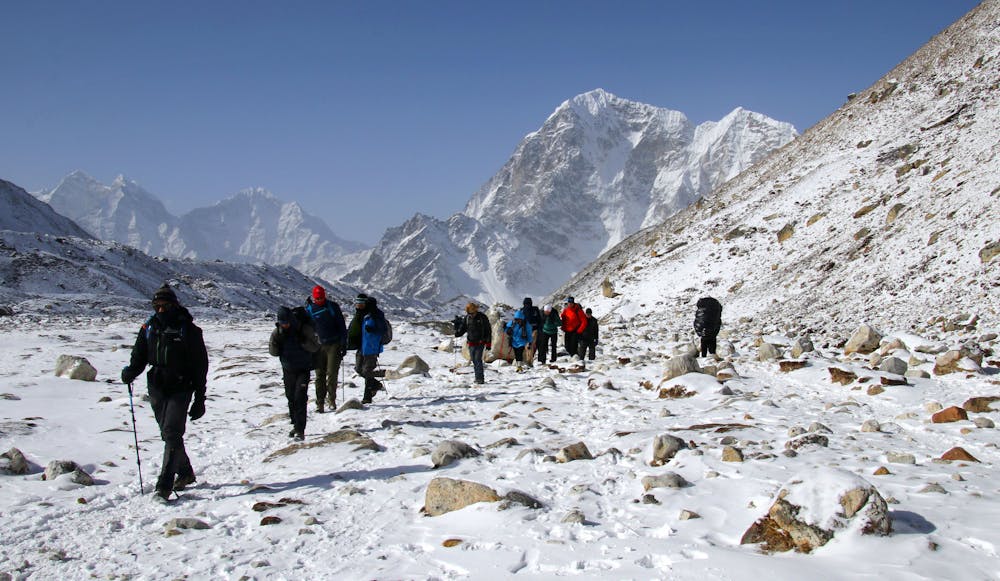
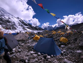
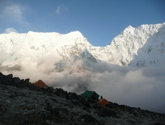
From Dugla climb a zig zag path northwards up the moraine of the Khumbu Glacier. Although relatively short, the climb still feels quite tough as you push towards 5000 metres. It takes around one hour to complete the climb but there is no rush so go slower if you feel like you need to. The climb ends at the vague Thokla Pass, where there is a collection of memorials to climbers who have died in the Everest region and many of the names will be familiar to those who know their mountaineering history. Once at the col and on flatter ground, follow a good path next to the glacial moraine for one hour to reach Lobuche. The view from of Nuptse is fantastic from Lobuche.
Moderate
Hiking along trails with some uneven terrain and small hills. Small rocks and roots may be present.
4.2 km away
A lovely long hike back into forests, thick air and civilisation.
Moderate Hiking
6.3 km away
Himalayan trekking at its best over a wild col.
Difficult Hiking
6.4 km away
Day 6: A final push up to the highest overnight stop on the trek.
Moderate Hiking
7.5 km away
A short day which provides view after view as you enter the highest mountains in the World.
Moderate Hiking
8.5 km away
A day with a "big" feeling which passes through some unusual scenery.
Difficult Hiking
9.2 km away
Day 4: A great but tough-feeling day where you reach the magical 4000 metre mark. The trekking is wonderful and the views staggering, but pace yourself and drink plenty of water - this is the day where most people really begin to feel the altitude!
Moderate Hiking
9.5 km away
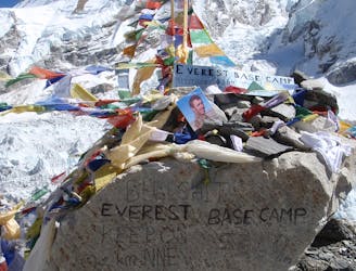
Day 8: The culmination of a fantastic week of trekking through the biggest mountains on Earth.
Moderate Hiking
9.6 km away
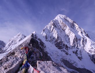
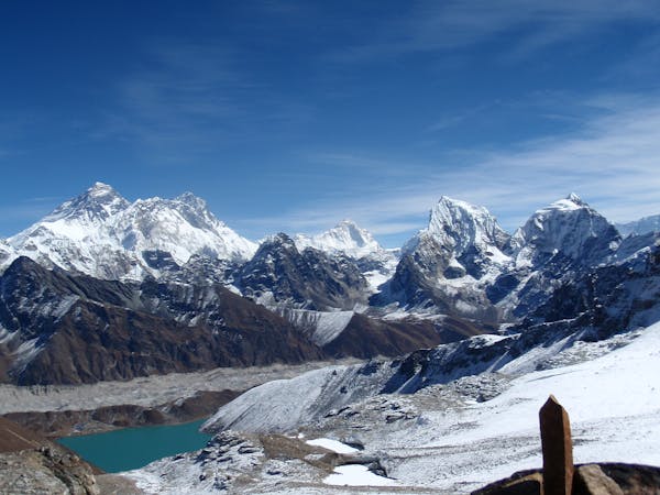
Day 7: Although it is of course possible to descend straight back to Lobuche from Gorak Shep, the ascent of Kala Patthar (a small rocky peak overlooking Everest and the Khumbu Glacier) is highly recommended and is well worth a final bit of uphill effort before the long walk back to Lukla.
Difficult Hiking
15 routes · Alpine Climbing · Hiking
13 routes · Hiking