4.7 km away
Dole to Machermo
A short day which takes you even higher into the Khumbu’s huge peaks.
Moderate Hiking
- Distance
- 5.1 km
- Ascent
- 456 m
- Descent
- 107 m
Day 4: A great but tough-feeling day where you reach the magical 4000 metre mark. The trekking is wonderful and the views staggering, but pace yourself and drink plenty of water - this is the day where most people really begin to feel the altitude!
Hiking Moderate

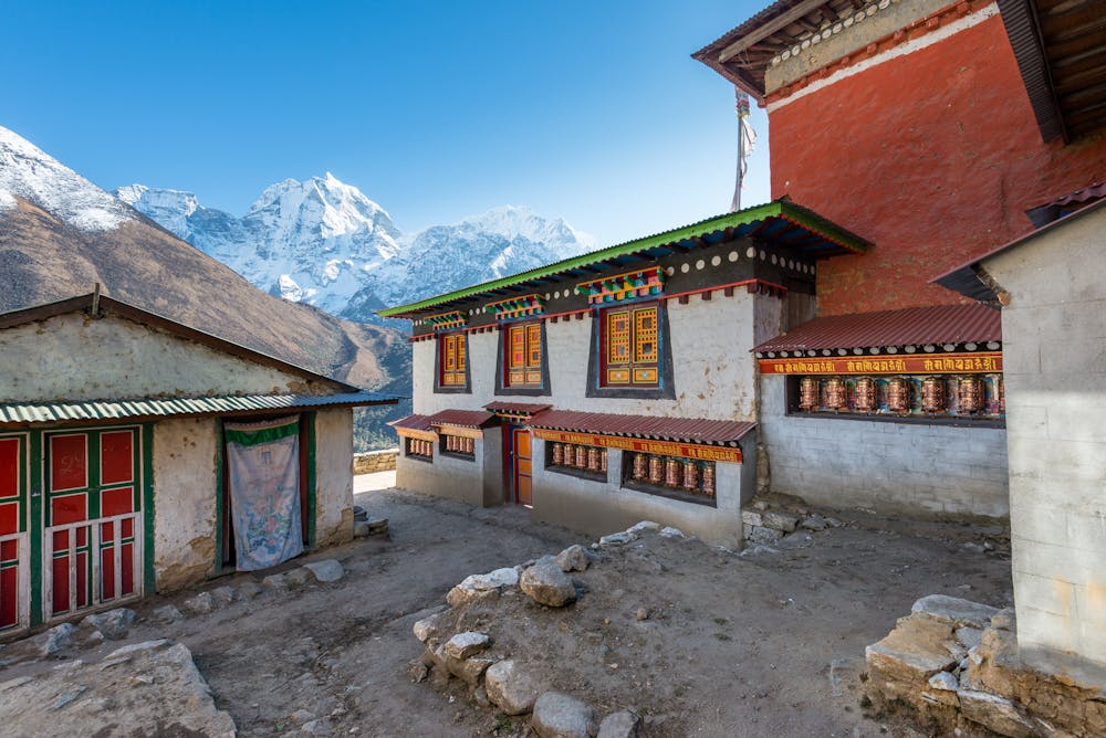
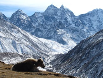
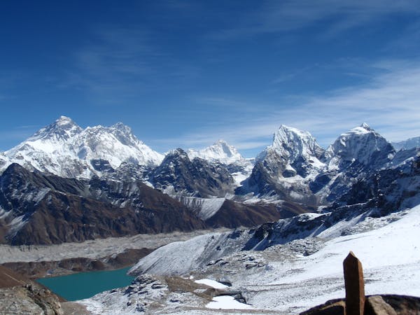
Follow the clear path north-east from Tengboche as it winds gradually down to the Imja Khola river. The walk is lovely and takes you through some ancient forests. Cross the river and then make the gradual ascent to the village of Pangboche (3985 metres), home to the Khumbu's oldest monastery. Tengboche to Pangboche is roughly 3 hours so the village is a perfect place to stop for lunch. After lunch continue north-west on barren, high mountain terrain which feels much more wild and "out there" than the forests of the morning. Keep climbing to where the path splits next to where the Imja Khola and Khumbu Khola rivers meet. Go right and make the short final climb to Dingboche (4260 metres) which sits right underneath the huge and imposing bulk of Ama Dablam - often referred to as the most beautiful mountain in the World. The altitude really kicks in here so move slowly and drink plenty of fluid. A rest day in Dingboche is vital so a good idea for your day off is to stroll north-east up the Imja valley towards the small village of Chukhung, from where it is possible to gaze up at the impossibly huge south face of Lhotse.
Moderate
Hiking along trails with some uneven terrain and small hills. Small rocks and roots may be present.
4.7 km away
A short day which takes you even higher into the Khumbu’s huge peaks.
Moderate Hiking
6.3 km away
A day to bid farewell to the main Everest Base Camp trail and head into the peaceful Gokyo valley
Moderate Hiking
6.4 km away
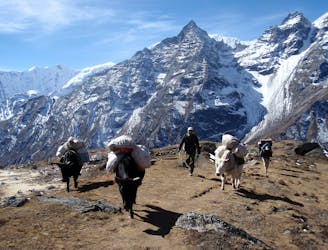
Day 3: The first full day in trekking in the huge mountains of the Khumbu is utterly wonderful. Leaving behind Namche Bazaar feels like the moment that you leave civilisation behind and enter the high Himalayan environment.
Moderate Hiking
6.4 km away
A wonderful day of trekking to a famous and atmospheric village.
Moderate Hiking
8.9 km away
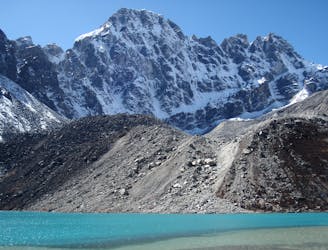
The spectacular final day into the upper Gokyo valley.
Moderate Hiking
9.2 km away
Day 5: An incredibly scenic day which puts you within reach of Base Camp.
Moderate Hiking
13 routes · Hiking