12 m away
North Ridge of Mt Moir
An exposed and sustained scramble in Fjordland
Moderate Alpine Climbing
- Distance
- 9 km
- Ascent
- 1.1 km
- Descent
- 1.1 km
A classic Darran Mountains Traverse
Alpine Climbing Moderate

This ultra-classic Darran Mountains test-piece provides a long and varied day of mountaineering with a feel of remoteness despite its relative proximity to the main Milford Sound road. Expect exposure, scrambling, glaciated terrain and spectacular views on a clear day.
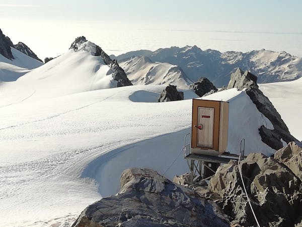
Park near to the Homer hut and walk several hundred metres up the road towards the Homer tunnel (please do not park here due to occasional road stabilisation work). From just before the tunnel turn to the right and follow the lower track until it begins to loop back on itself. From here a faint path marked by cairns leads at an easy angle at first, then rises steeply up towards Homer Saddle where you're greeted with a stunning view of the Cleddau valley. This is where the fun begins!
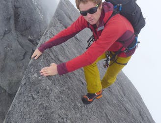
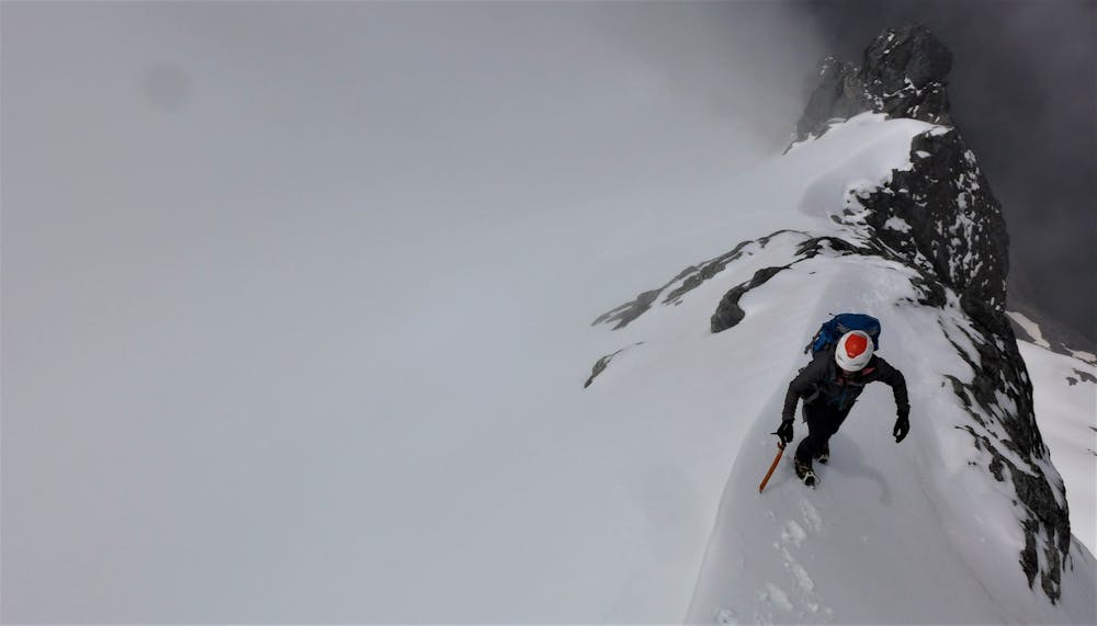
Harness and rope up to climb Jacob's Ladder, the exposed rocky ridge leading up to the glacier. Pass difficulties on its left following the odd bolt and iron rod. Once the angle eases and you reach the glacier stay on the right side of the ridge sticking to the snow slopes before either regaining the ridge just prior to the summit of Mt McPherson in early season, or looping back to the summit from a gully on the right.
From the summit, follow snow slopes leading down to the right of the ridge then back up to point 2,021m (Traverse Peak). From here, follow the ridge to Traverse Pass at 1,987m. You have the option of a return journey to the summit of Mt Talbot given a little extra time - this provides some extra loose rock scrambling or exposed snowy ridge depending on season.
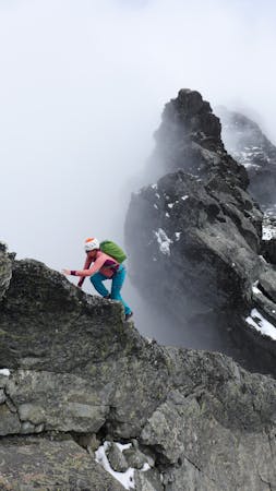
From Traverse Pass descend towards Gertrude Saddle negotiating a bit of rock scrambling just before reaching the saddle and beautiful views. Follow the Gertrude Saddle route easily back towards the Homer hut.
Moderate
May involve slightly more complex glacier hikes, easy but possibly long rock ridges and steep snow up to 45 degrees. Equivalent to PD, PD+

The route features some exposed and/or difficult to protect sections.
Away from help but easily accessed.
12 m away
An exposed and sustained scramble in Fjordland
Moderate Alpine Climbing
4 routes · Alpine Climbing
11 routes · Alpine Climbing · Hiking