12 m away
McPherson Talbot Traverse

A classic Darran Mountains Traverse
Moderate Alpine Climbing
- Distance
- 12 km
- Ascent
- 1.4 km
- Descent
- 1.4 km
An exposed and sustained scramble in Fjordland
Alpine Climbing Moderate

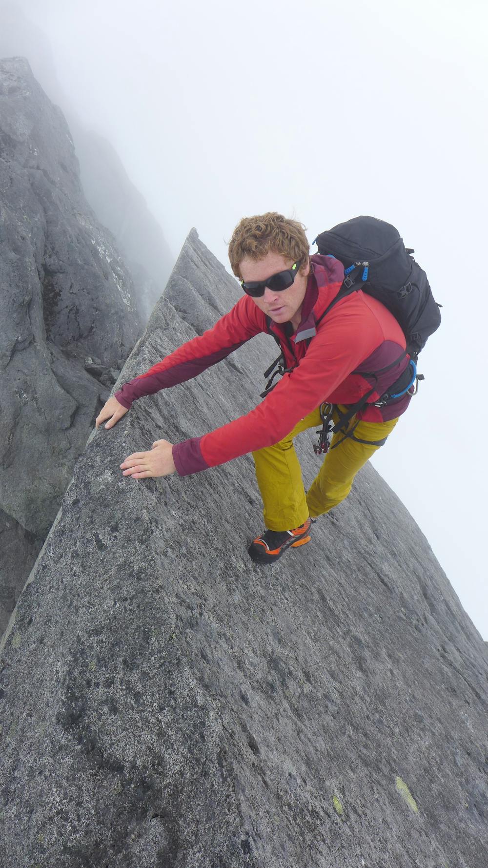
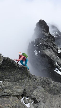
The north ridge of Mt Moir is a long and tricky alpine rock ridge with sustained technical difficulties and some easy pitched climbing both on ascent and descent. It's best climbed when the route is predominantly clear of snow but it's worth taking an ice axe and crampons just in case.
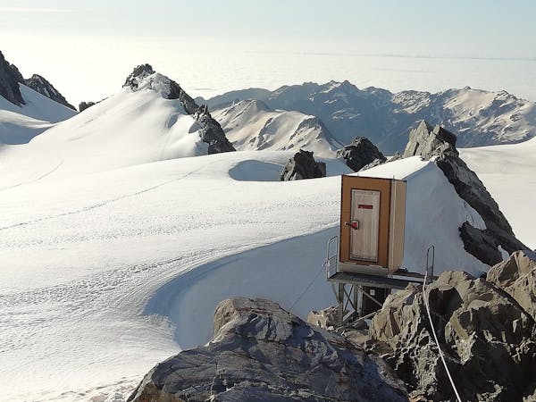
Park near to the Homer hut and walk several hundred metres up the road towards the Homer tunnel (please do not park here due to occasional road stabilisation work). From just before the tunnel turn to the right and follow the lower track until it begins to loop back on itself. From here a faint path marked by cairns leads at an easy angle at first, then rises steeply up towards Homer Saddle where you're greeted with a stunning view of the Cleddau valley.
Head along the ridge to your south, with some interesting and relatively straightforward scrambling passing difficulties on the right side of the ridge at first before easier terrain leads up to a small plateau and possible bivouac sites beneath the steeper ridge leading up to the summit of Moir's Mate. Follow easy ground up the ridge as far as you can and then a series of 30m pitches between double bolt anchors leads up to easier terrain and the summit of Moir's Mate.
Descend the ridge to a long undulating traverse through impressive terrain and knife edged aretes. As the ridge begins to climb again a few pitches of moderate climbing lead to an easing of angle and thereafter the summit of Mt Moir.
Descend following the same route. It is possible to skirt the flanks of Moir's Mate on descender's right to the abseils in early season when there's still a good amount of snow.
Moderate
May involve slightly more complex glacier hikes, easy but possibly long rock ridges and steep snow up to 45 degrees. Equivalent to PD, PD+

Much of the route is difficult to protect and a fall could be disastrous at certain points.

Away from help but easily accessed.
12 m away
A classic Darran Mountains Traverse
Moderate Alpine Climbing
4 routes · Alpine Climbing
11 routes · Alpine Climbing · Hiking