
4.8 km away
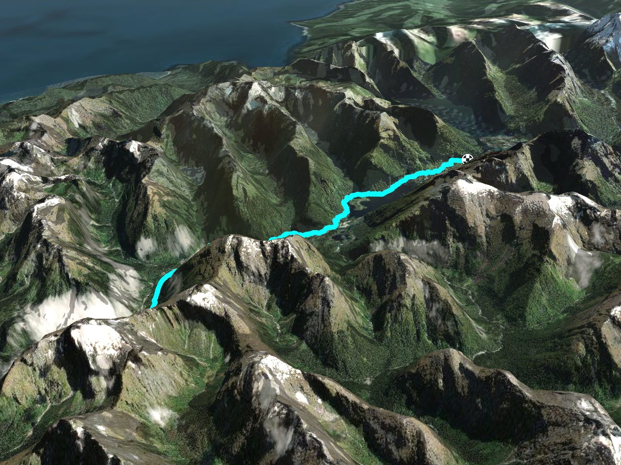
Milford Track: Mintaro Hut to Dumpling Hut
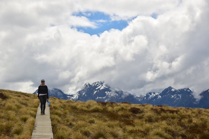
Day 3: Mintaro Hut to Dumpling Hut — 6-7 hours, 14km.
Moderate Hiking
- Distance
- 13 km
- Ascent
- 696 m
- Descent
- 1.2 km
Day 4: Dumpling Hut to Sandfly Point — 18km, 6 hours.
Hiking Moderate
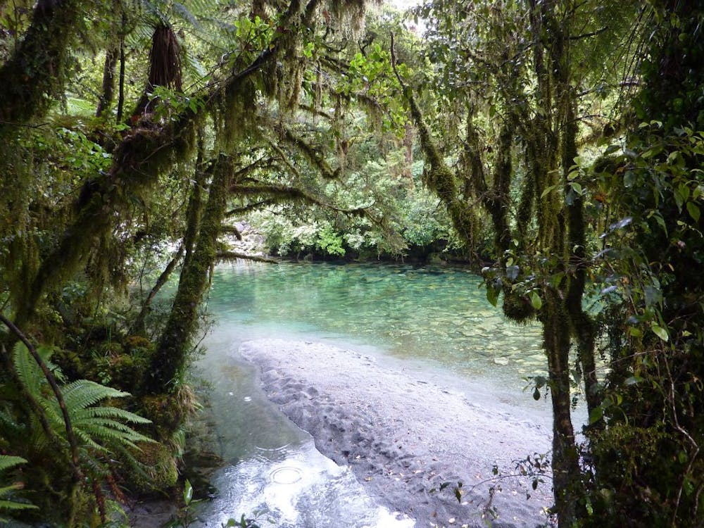
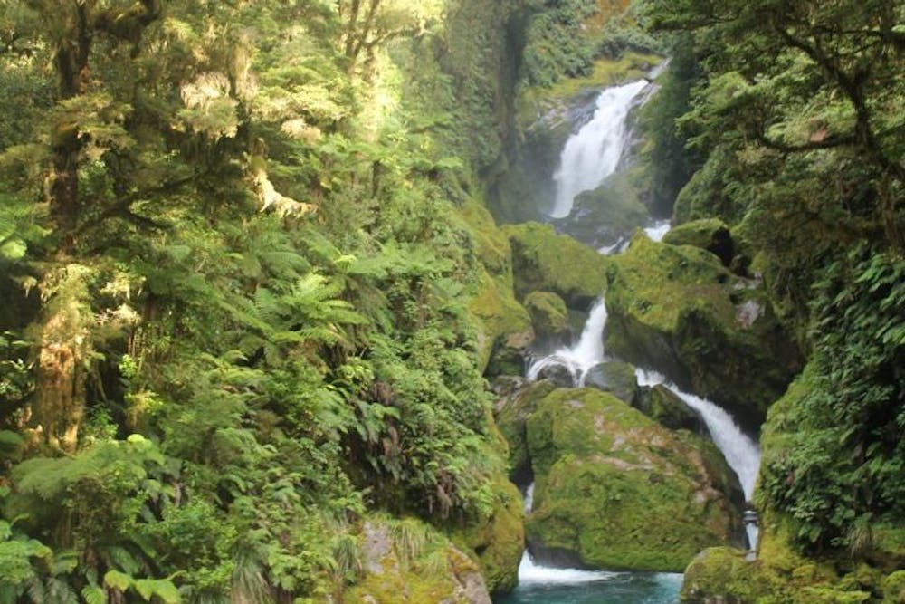
From Dumpling Hut, follow Arthur River to the historic Boatshed. After crossing a large swing bridge and further along the track, you will reach Mackay Falls and Bell Rock. After leaving Mackay Falls, keep a lookout for the fading, man-made rock cuttings on the left alongside a narrow pathway running beside the Arthur River and Lake Ada.
From here, the track descends gently to Giant Gate Falls, after which you spend the last 3km on a smooth, wide track to end at the Sandfly Point Shelter.
A short boat ride from Sandfly Point to the Milford Sound Village will take you to the end of your journey with world-famous views of Milford Sound along the way.
Note: Be aware of the sandflies, especially at Giants Gate Falls and further on at Sandfly Point - they are big and they bite.
Moderate
Hiking along trails with some uneven terrain and small hills. Small rocks and roots may be present.
4.8 km away
Day 3: Mintaro Hut to Dumpling Hut — 6-7 hours, 14km.
Moderate Hiking

4 routes · Hiking
10 routes · Hiking