5.1 km away
Viromkjerringa Traverse
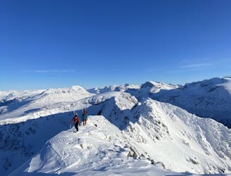
An epic alpine traverse with several S/SW facing couloirs to descend
Difficult Ski Touring
- Distance
- 14 km
- Ascent
- 1.5 km
- Descent
- 1.6 km
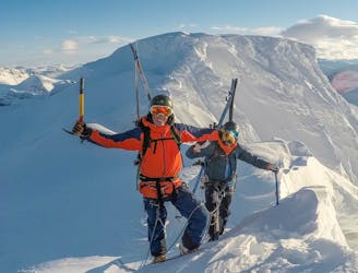
Not the summit but line of the year
Ski Touring Difficult

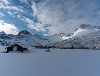
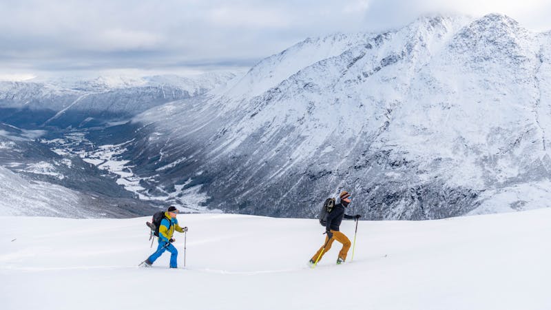
Start at Camping Dronningskrona, in Innerdalen. It's the start of the trailhead for most of the summits in the area. Make your way up the trees, beautiful view and an awesome descent coming down. 30-40 minutes later you reach the treeline and it flattens out. It takes about the same time to reach the base of the mountain. now you have two options; go left and bootpack the couloir/face to have a better understanding of the snow (recommended) or go right up the open face to reach the ridgeline. Takes about 40-45 minutes. (We actually ended up skiing down the open face due to avalanche conditions on the face of Grøvelnebba.) When on the ridge, stay at least 5-10 m of the edge if the overhang is big. It goes further than you think. Keep going on skins until you need to bootpack the last 50 vertical meters on the ridge to get in to the line. It's freaking awesome standing up there, but evaluate skiing it due to steepness and exposure. Be smart, think ahead and remember it's okay to turn away and come back another day. Enjoy!


Difficult
Serious gradient of 30-38 degrees where a real risk of slipping exists.

In case of a fall, death is highly likely.

Away from help but easily accessed.
5.1 km away
An epic alpine traverse with several S/SW facing couloirs to descend
Difficult Ski Touring
5.3 km away
Stunning scenery with ocean view and glacier travel
Difficult Ski Touring
5.3 km away
The 'Mont-Blanc of north-western Norway' offers glacier adventure and great skiing.
Difficult Ski Touring
8 routes · Ski Touring