122 m away
Kongskrona
The 'Mont-Blanc of north-western Norway' offers glacier adventure and great skiing.
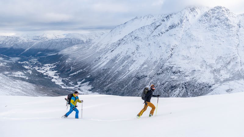
Difficult Ski Touring
- Distance
- 16 km
- Ascent
- 1.8 km
- Descent
- 1.8 km
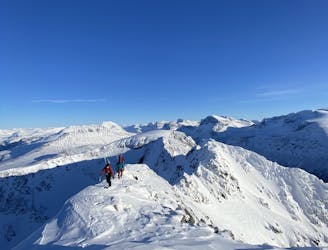
Ridge to Hesten and Tritinden
Ski Touring Difficult

This is a popular ski touring route which is generally considered to be difficult. It's not remote, it features high exposure (e3) and is typically done between February and April. From a low point of 228 m to the maximum altitude of 1.6 km, the route covers 17 km, 1601 vertical metres of ascent and 1611 vertical metres of descent. It's graded 3.1 and Labande grade 3. You'll need rope, skins, ice axe and crampons to complete it safely.
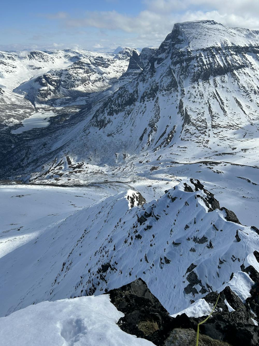
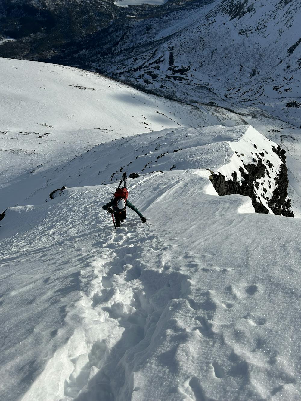
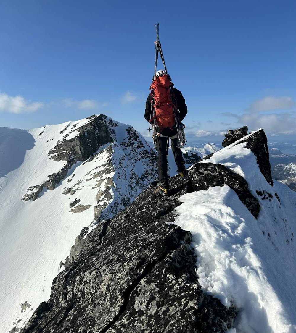
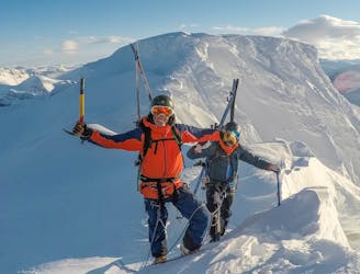
Ridge from Hesten to Tritinden
Difficult
Serious gradient of 30-38 degrees where a real risk of slipping exists.

In case of a fall, death is highly likely.

Close to help in case of emergency.
122 m away
The 'Mont-Blanc of north-western Norway' offers glacier adventure and great skiing.
Difficult Ski Touring
166 m away
Stunning scenery with ocean view and glacier travel
Difficult Ski Touring
386 m away
An epic alpine traverse with several S/SW facing couloirs to descend
Difficult Ski Touring
8 routes · Ski Touring