375 m away
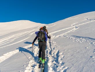
Kirketaket
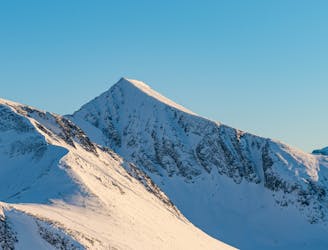
One of Norway's most popular ski touring mountains offers world class skiing
Difficult Ski Touring
- Distance
- 13 km
- Ascent
- 1.3 km
- Descent
- 1.3 km
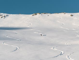
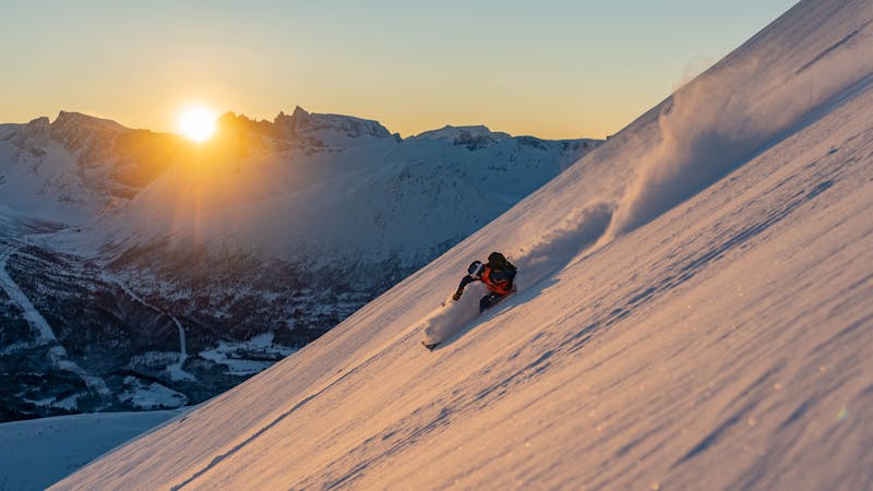
The most classic traverse in Isfjorden goes through stunning alpine terrain
Ski Touring Severe

This is a popular ski touring route which is generally considered to be severe. It's very remote, it features high exposure (e3) and is typically done between January and April. From a low point of 219 m to the maximum altitude of 1.5 km, the route covers 16 km, 1699 vertical metres of ascent and 1699 vertical metres of descent. It's graded 3.3 and Labande grade 4. You'll need skins, ice axe and crampons to complete it safely.


The route follows the three peaks that surround Hestebotn; Søre Klauva, Klauva and Kirketaket.
Severe
Steep skiing at 38-45 degrees. This requires very good technique and the risk of falling has serious consequences.

In case of a fall, death is highly likely.
Little chance of being seen or helped in case of an accident.
375 m away
One of Norway's most popular ski touring mountains offers world class skiing
Difficult Ski Touring
483 m away
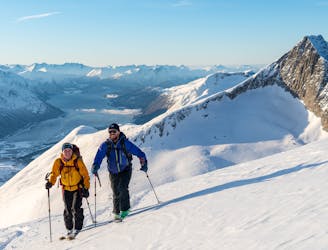
An efficient ski tour with many possible descents
Difficult Ski Touring
500 m away
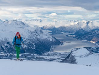
The big brother of Kirketaket offers much of the same terrain, but is less crowded.
Difficult Ski Touring
7.4 km away
A less crowded mountain in Isfjorden with many interesting ski lines
Severe Ski Touring
9.8 km away
An easy and popular trip with fantastic view over the ocean
Moderate Ski Touring
9 routes · Ski Touring