72 m away
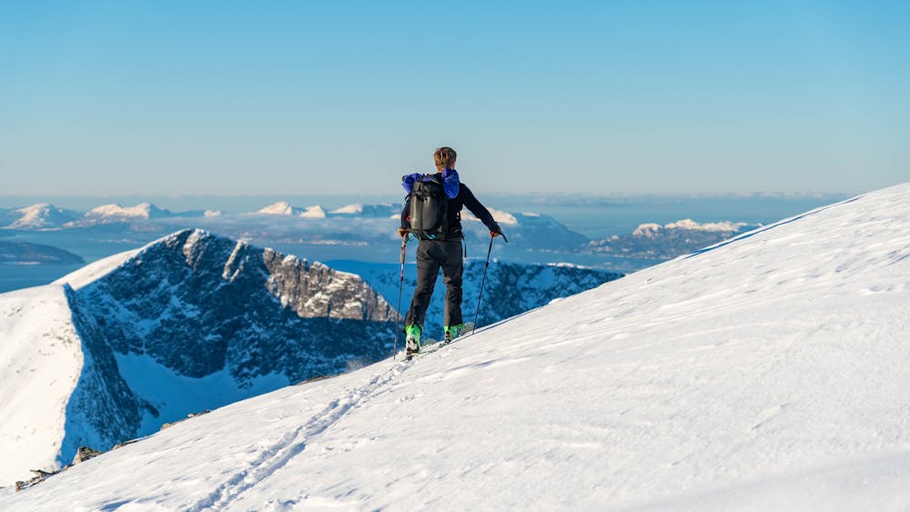
Smørbottfjellet
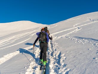
An easy and popular trip with fantastic view over the ocean
Moderate Ski Touring
- Distance
- 8.3 km
- Ascent
- 973 m
- Descent
- 973 m
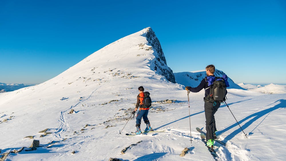
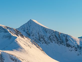
The neighbor of Smørbottfjellet is less crowded and offers more opportunities for descents
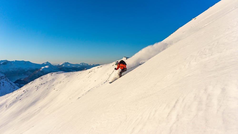
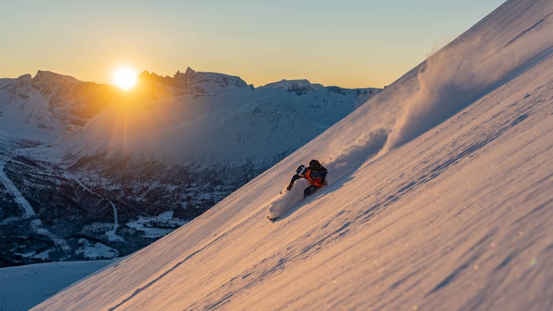
Ski Touring Difficult

Follow the route to Smørbottfjellet from the parking lot. At 900 m.a.s.l. head towards the col north west of the summit. Follow the ridge heading west towards Kvasstind. For the descent you have a lot of possibilities down the south face. You can also follow the route of the ascend.
Difficult
Serious gradient of 30-38 degrees where a real risk of slipping exists.

As well as the slope itself, there are some obstacles (such as rock outcrops) which could aggravate injury.
Away from help but easily accessed.
72 m away
An easy and popular trip with fantastic view over the ocean
Moderate Ski Touring
9.8 km away
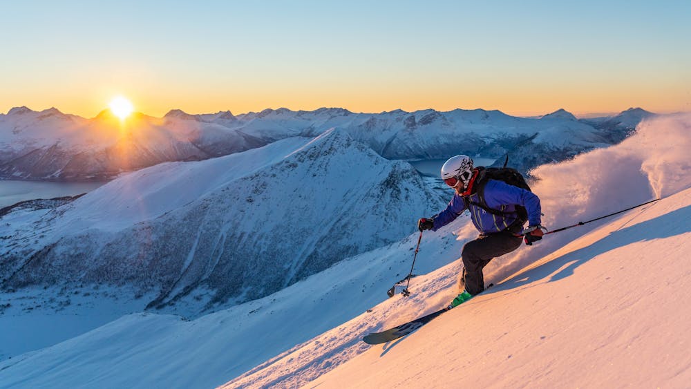
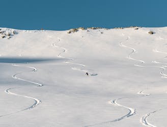
One of Norway's most popular ski touring mountains offers world class skiing
Difficult Ski Touring
9.8 km away
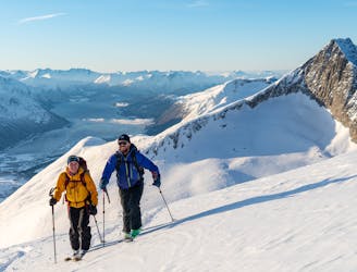
An efficient ski tour with many possible descents
Difficult Ski Touring
9.8 km away
The big brother of Kirketaket offers much of the same terrain, but is less crowded.
Difficult Ski Touring
9 routes · Ski Touring