Tredjetoppen North Side Descent
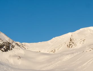
Probably the best ski run in the Narvikfjellet backcountry, but beware - this is a serious run despite the easy access.
Severe Freeride Skiing
- Distance
- 6 km
- Ascent
- 295 m
- Descent
- 1.1 km

The über-classic line in Narvikfjellet`s rad backcountry
Freeride Skiing Difficult

Narvikfjellet`s backcountry area has become somewhat legendary over the last years and rightfully so - a short hike from the top lift gives access to fine north- and south facing runs.
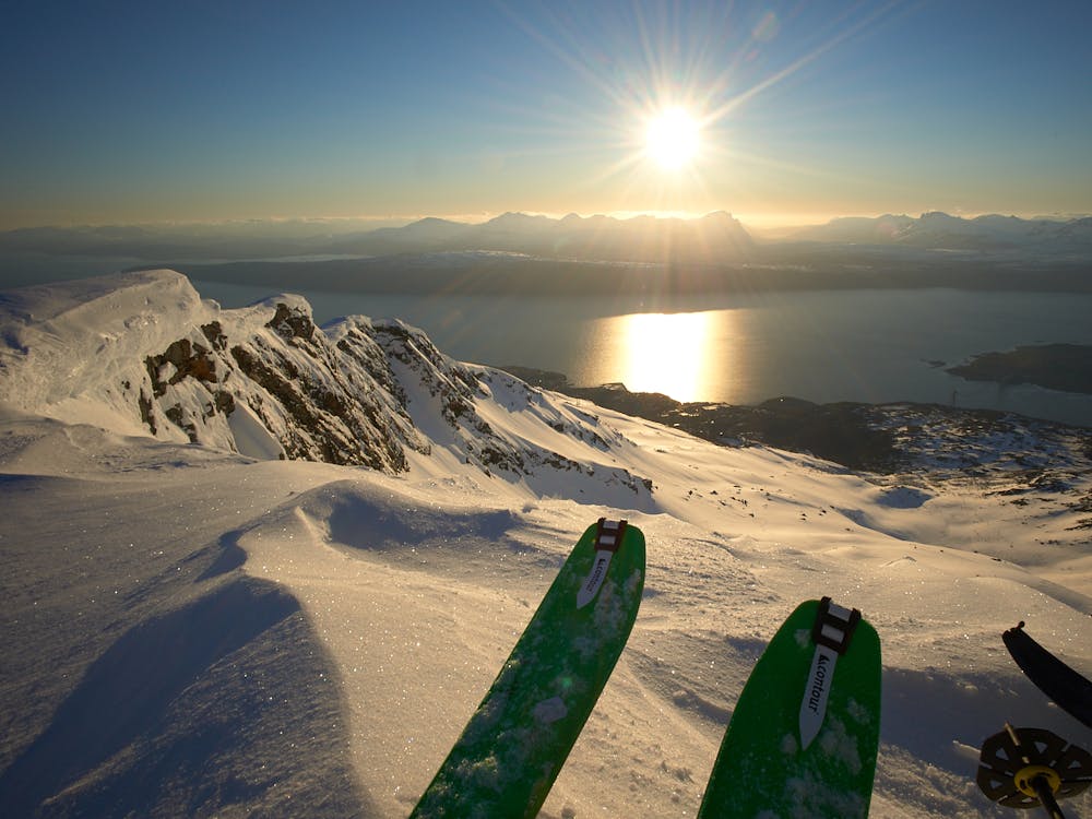
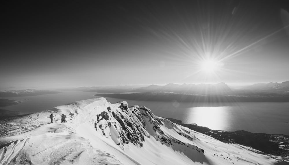
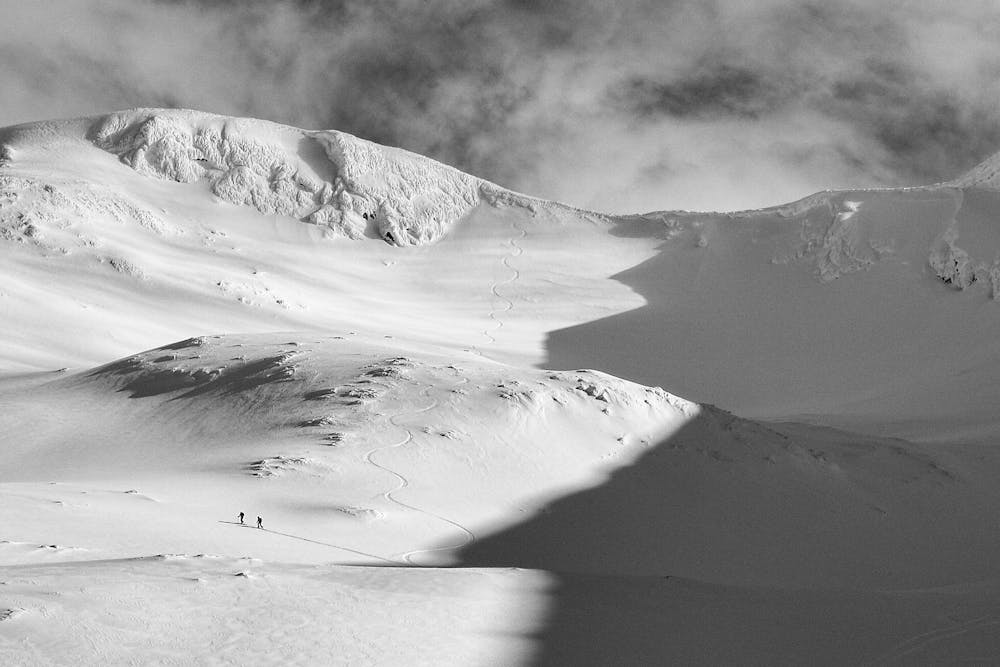
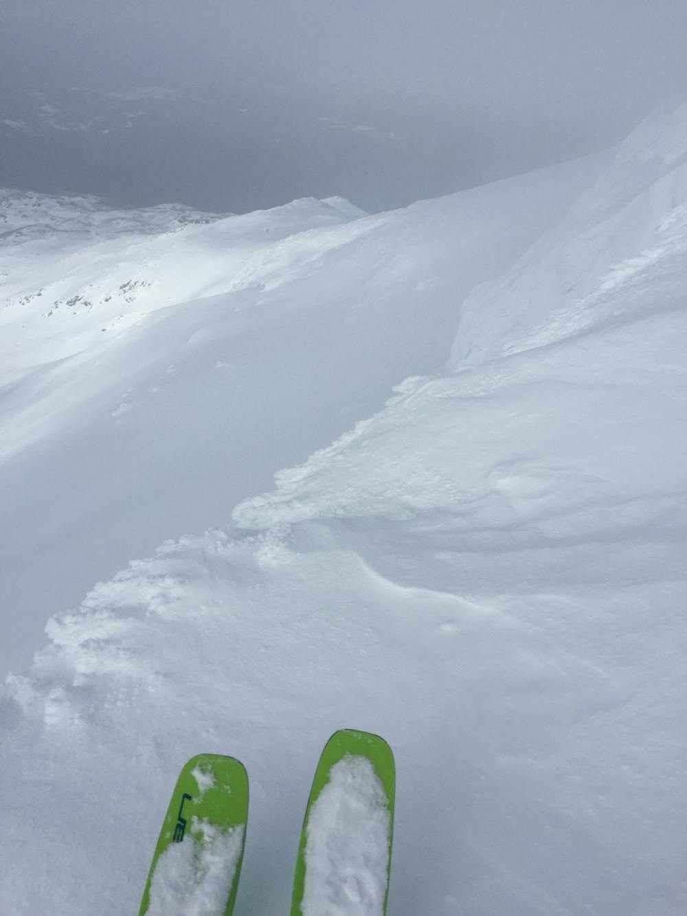
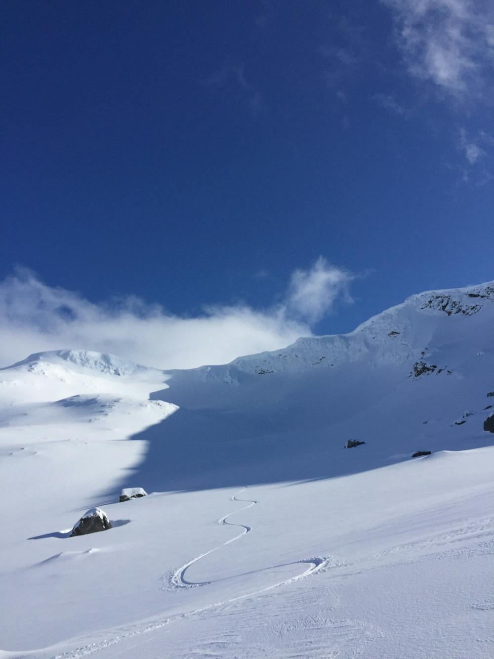
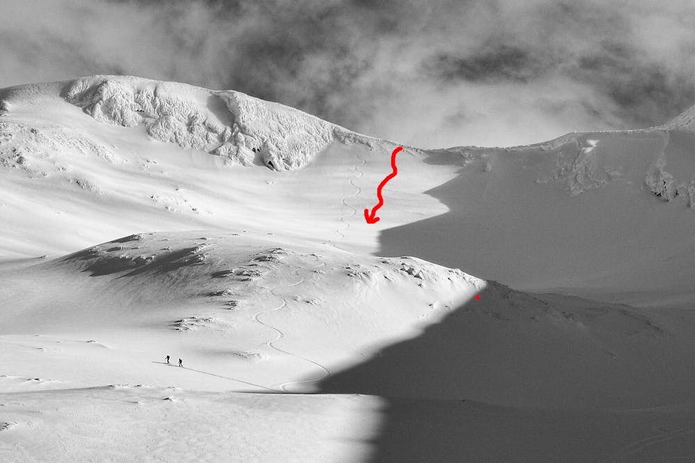
Mørkholla is with no doubt the best-known run. The majority of ski images of Narvik were shot here, with the magnificent backdrop of the ocean and the special light, no matter if it's during polar night, spring sunsets or midnight sun in the early summer.
To access Mørkholla, take the highest lift (Stolheis chair lift) up to Linken (1003 m). If the chair lift is closed, start from the top gondola station (656m), then skin up the Linkenløypa piste to Linken (1003 m) and follow the ridge to Tredjetoppen (30-45 min; to 1272m). There is usually a track in. Watch the cornices on your left.
The entry to Mørkholla is between Andretoppen (1162 m) and Tredjetoppen. The steepest pitch is at the start - the steepness varies from season to season, depending on loading by snow and wind patterns. Count on a short drop and a few initial turns at 40°, before the terrain eases to 35°. The gradient lessens more and more as you get lower, getting low-angle and cruisy at 1000 m - but the ski terrain remains excellent.
The NE expositions often results in good snow conditons - and snow late into the season, often into early June.
There are several options further down: ski fall line (see the line for the lower section of Tredjeholla - https://fatmap.com/routeid/26377/tredjetoppen-north-side-descent) or cut hard skiers´s left to ski in the trees (shown here).
Either way, you eventually hit a trail. Follow the trail until turning left at ca. 230 m elevation. There are usually ski tracks to follow. Follow the XC-ski track (some pushing required, boarders will need to take boards off here and there) back to the lower T-bar lift of the ski area. Lifts then can take you back to your starting point.
Alternatively, stay on the trail until you reach a parking lot at the water plant. The road leads you back to the resort base as well - you can usually skirt/ski/board along the edge of the road. Snowboarders will prefer this option.
Beware - despite the easy access, this is high-consequence avalanche terrain. Check conditions at www.varsom.no/snoskredvarsling/varsel/Ofoten/ and only go if you possess good training and relevant expertise. Better still, take a guide - it's worth it!
Difficult
Serious gradient of 30-38 degrees where a real risk of slipping exists.

Probably the best ski run in the Narvikfjellet backcountry, but beware - this is a serious run despite the easy access.
Severe Freeride Skiing
7 m away
A short, steep and fun ride in Narvikfjellet`s backcountry
Difficult Freeride Skiing
131 m away
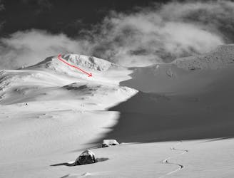
A great line, slightly less popular than Mørkholla
Difficult Freeride Skiing
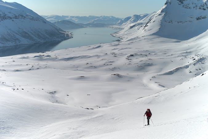
20 routes · Freeride Skiing · Ski Touring
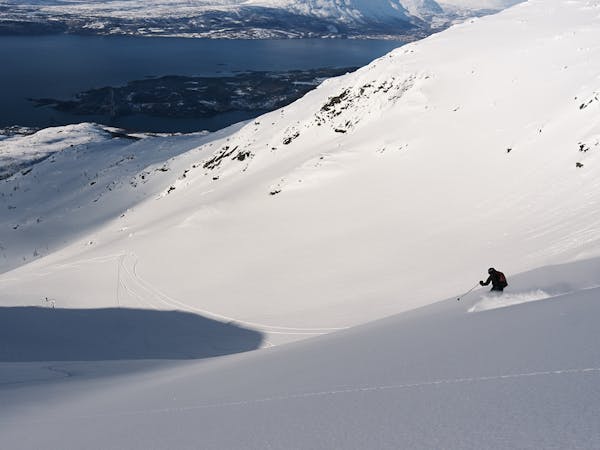
6 routes · Freeride Skiing · Ski Touring