7 m away
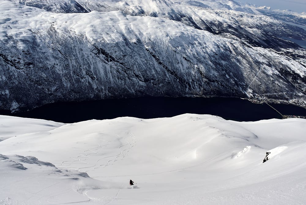
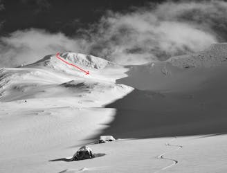
Tredjetoppen North Side Descent
Probably the best ski run in the Narvikfjellet backcountry, but beware - this is a serious run despite the easy access.
Severe Freeride Skiing
- Distance
- 6 km
- Ascent
- 295 m
- Descent
- 1.1 km
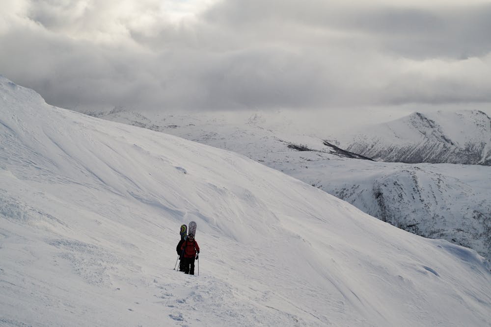
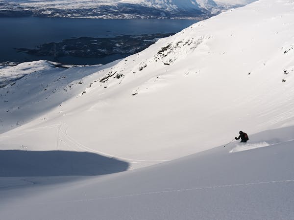
A short, steep and fun ride in Narvikfjellet`s backcountry
Freeride Skiing Difficult

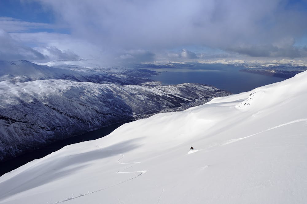
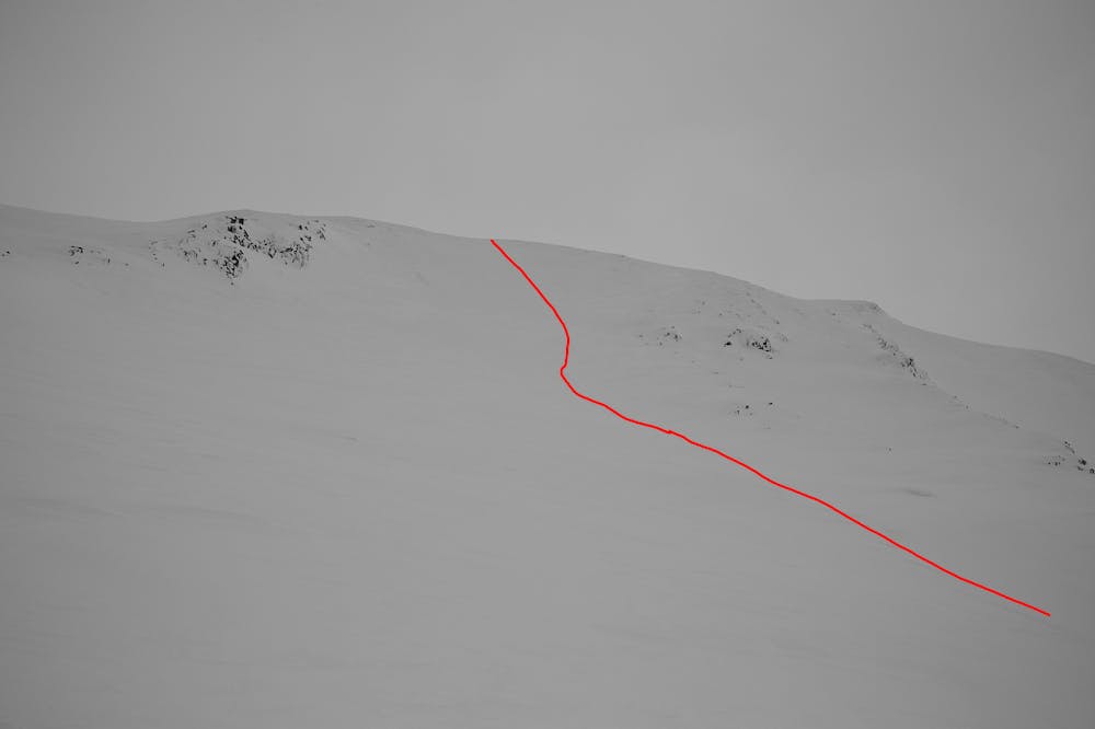
The middle finger is the central line of five lines (the “5 Fingers”) on the southwest slopes of Narvikfjellet`s backcountry area. It is the steepest of the five lines, with good fall-line skiing and views down to the fjord. If the upper chair lift is running, this is a quick turn-around trip, and it can also easily be combined with other lines in the area. From the chair lift top station (1003 m) follow the ridge to Andretoppen (1162 m). If the upper chair lift is not working, you need to start from the upper cable car (gondola) station at 656 m, following the Linkenløypa ski trail. The ridge is easy, but there are considerable drops and cornices to your left (north aspect), especially near the summit of Andretoppen. Stay well below the ridge-crest! The Middle Finger itself is a large slope with a convex start zone and considerable gradient, reaching over 35 degrees in the middle zone. So good stability and abilities to assess and manage avalanche terrain are required. Check the avalanche forecast at https://varsom.no/snoskredvarsling/varsel/Ofoten/ before setting out. You can ski down quite a bit further than shown in the route drawing, but the best skiing is the upper part, and the way it is shown results in a fast return to the resort slopes. The end point is the beginning of the Linkenløypa ski slope. Ski that back to the bottom of the resort, or ski another run in the backcountry. Several other trips can be found here on FATMAP.
Difficult
Serious gradient of 30-38 degrees where a real risk of slipping exists.

Exposure is limited to that of the slope itself. Getting hurt is still likely if the slope is steep and/or the snow is hard.
Close to help in case of emergency.
7 m away
Probably the best ski run in the Narvikfjellet backcountry, but beware - this is a serious run despite the easy access.
Severe Freeride Skiing
7 m away
The über-classic line in Narvikfjellet`s rad backcountry
Difficult Freeride Skiing
137 m away
A great line, slightly less popular than Mørkholla
Difficult Freeride Skiing

20 routes · Freeride Skiing · Ski Touring
6 routes · Freeride Skiing · Ski Touring