9 km away
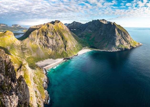
Justadtinden Summit Trail
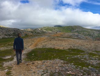
A stunning Lofoten hike with a bit of an easy scramble.
Difficult Hiking
- Distance
- 13 km
- Ascent
- 803 m
- Descent
- 803 m
Short 2 km hiking up to Mannen in Vestvågøy. Fantastic view. 1 - 1,5 hour.
Hiking Easy

This is a popular hiking route which is generally considered to be easy. It's not remote, it features medium exposure and is typically done between May and October. From a low point of 4 m to the maximum altitude of 374 m, the route covers 2.1 km, 38 vertical metres of ascent and 407 vertical metres of descent.
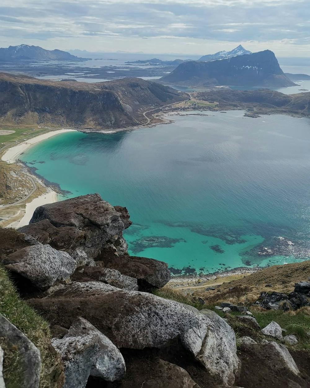
Amazing view of the Haukland beach
Easy
Walking along a well-kept trail that’s mostly flat. No obstacles are present.

The trail contains some obstacles such as outcroppings and rock which could cause injury.

Close to help in case of emergency.
9 km away
A stunning Lofoten hike with a bit of an easy scramble.
Difficult Hiking
9.3 km away
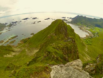
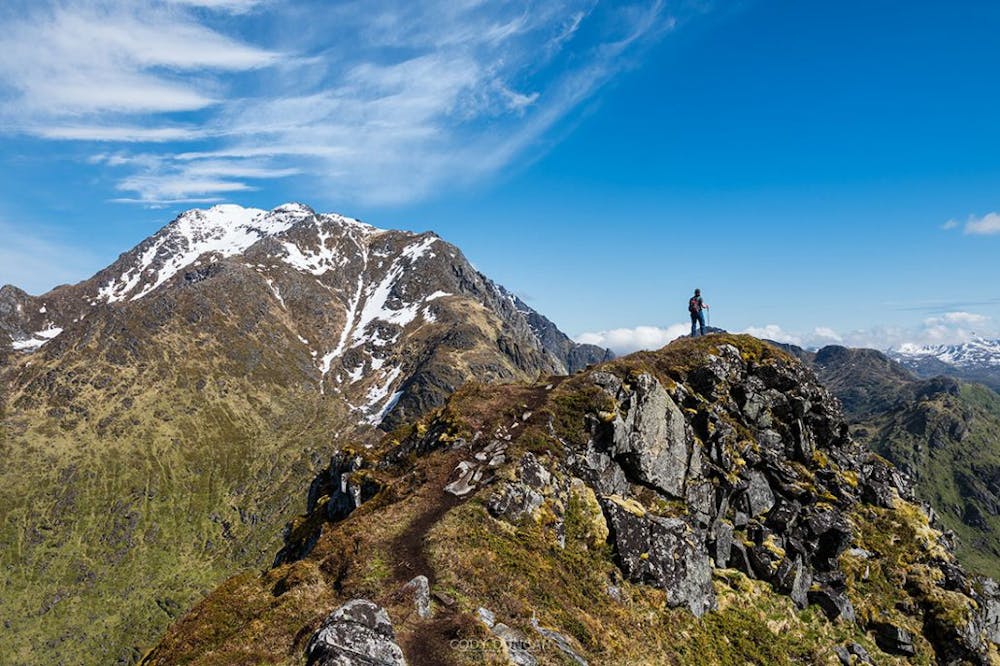
Easy half-day Lofoten ridge hike with fabulous summit Views!
Moderate Hiking
2 routes · Hiking