1.1 km away
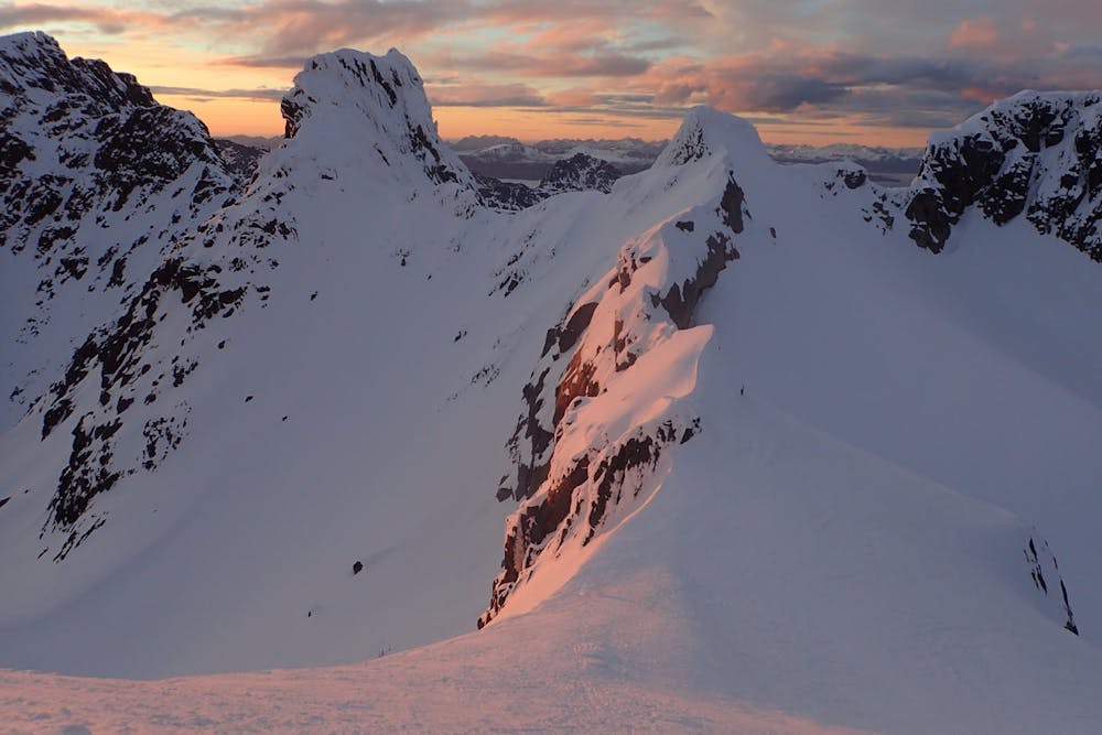
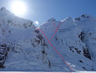
Higravtinden West Couloir
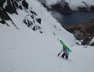
A stunning line, one of Lofoten's finest
Extreme Ski Touring
- Distance
- 4 km
- Ascent
- 1 km
- Descent
- 1 km
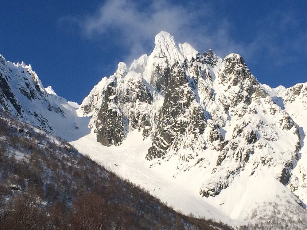
Lofoten's most spectacular ski touring summit
Ski Touring Difficult

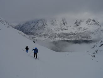
Geitgallien is perhaps Lofoten’s most popular and spectacular ski touring summit and at 1,085 meters is one of the area’s higher peaks. Geitgallien has a highly improbable looking summit, protruding from the surrounding granite walls and vertical to overhanging on three of its sides. Fortunately there is a relatively easy way to the summit for fit and competent ski mountaineering parties. There are three main ways to ski the mountain, each featuring abundant world class ski terrain. If you are going to ski just one peak in Lofoten, make it this one. Unfortunately, Geitgallien has increasingly become a victim of its own quality and when the weather and conditions are good crowds can sometimes be an issue.
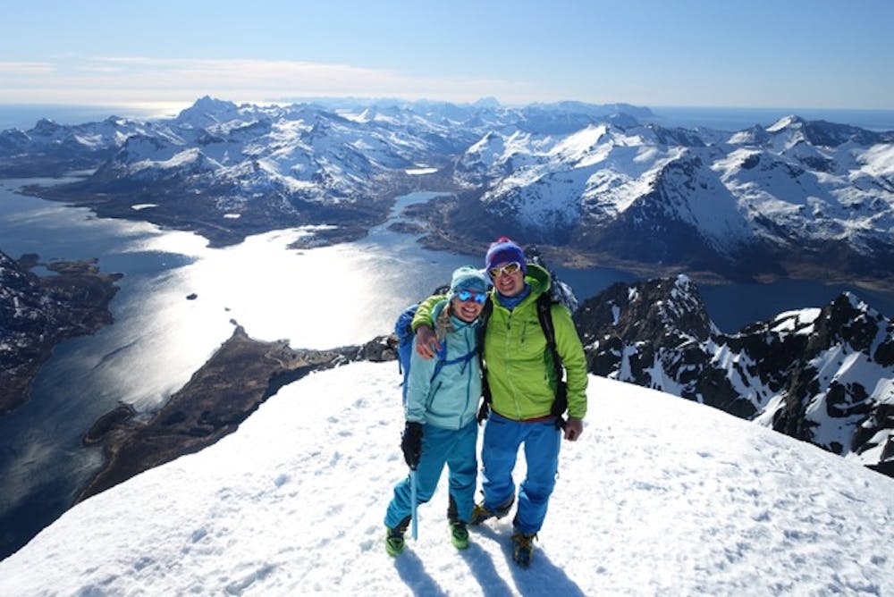
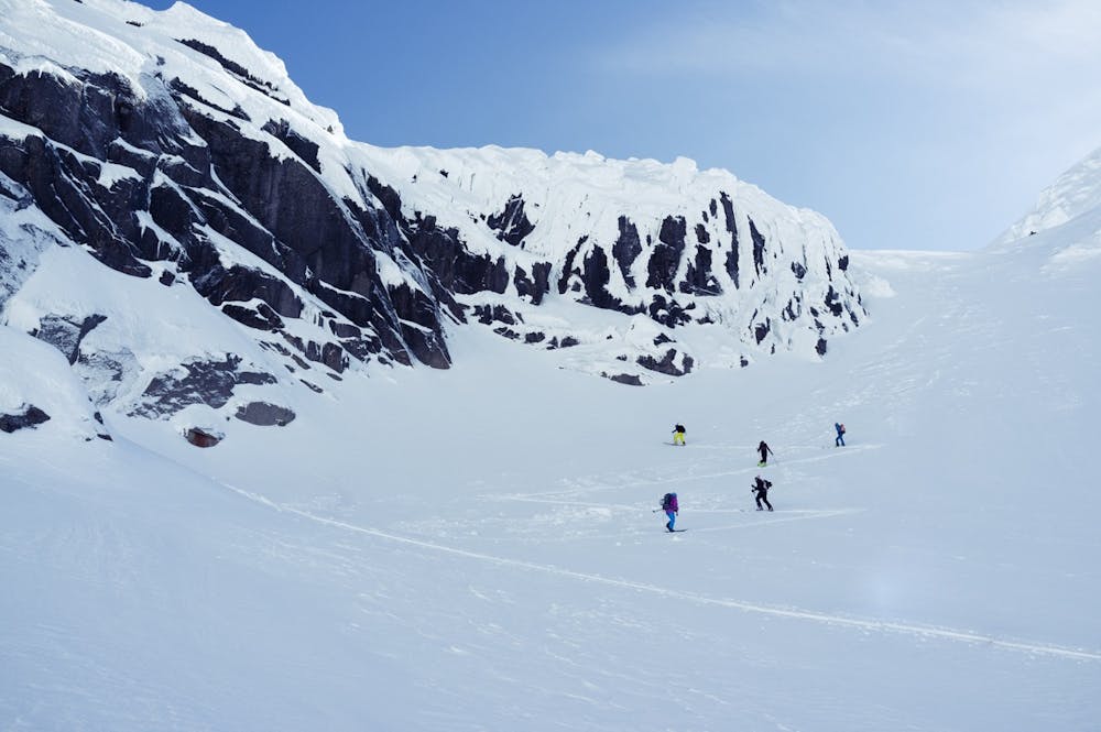
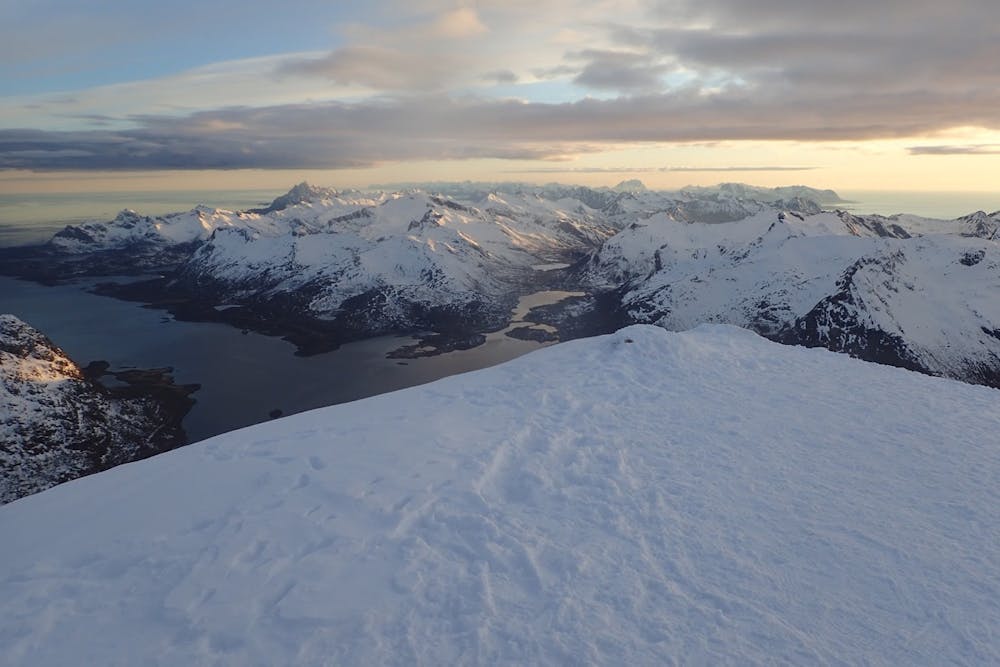
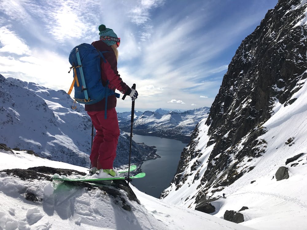
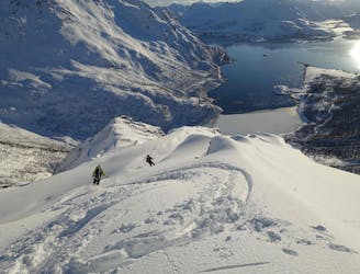
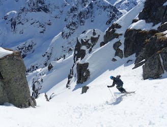
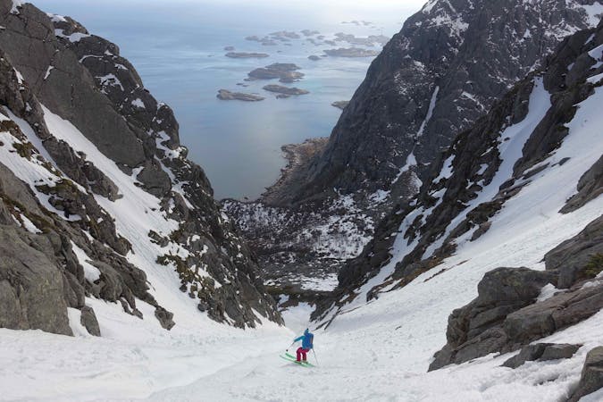
The approach is almost always made on the west side of the mountain starting from the hamlet of Skinvollen. From here it is a pleasant skin until a steeper section is reached hallway up. It is often necessary to resort to bootpacking up this short steep slope until it flattens out once again. Once below the final col guarding the summit tower, it is again necessary to transition to booting and often crampons are required here. The summit is accessed via a steep snow and ice slope, up to 50 degrees in places. Most teams do not attempt to ski from the summit and it also advisable not to do so if there are other parties climbing/downclimbing. Once on the summit take in the incredible 360 degree panorama before starting the descent. Once back at the col it is possible to ski either down the wild and committing east side, or down the short but steep west facing slope as for the ascent. Once at the bottom of this the most common and easiest descent follows the skin track down the large west facing bowl. The South Couloir however makes for the most elegant and interesting round-trip and is a stunning ski line. While the top approaches 40 degrees in steepness, the angle of the line soon eases and it is never very exposed. Once at the bottom of the line and back on the road it’s a solid half hour walk back to the parking so hitch a ride if you can!
Difficult
Serious gradient of 30-38 degrees where a real risk of slipping exists.

As well as the slope itself, there are some obstacles (such as rock outcrops) which could aggravate injury.

Little chance of being seen or helped in case of an accident.
1.1 km away
A stunning line, one of Lofoten's finest
Extreme Ski Touring
2.9 km away
Avoid the crowds by dropping into the wild east side
Difficult Ski Touring
4 km away
Accessible and fun terrain, a great shorter mission for when the weather isn't perfect!
Moderate Ski Touring
7.8 km away
Spectacular skiing with a big mountain ambiance
Difficult Ski Touring
7.9 km away
Spring couloir skiing at its finest if timed right
Severe Ski Touring

20 routes · Freeride Skiing · Ski Touring
5 routes · Ski Touring