2.4 km away
Tromsdalstinden
A brilliant peak which dominates the view from the area to the south of it.
Difficult Ski Touring
- Distance
- 10 km
- Ascent
- 1.2 km
- Descent
- 1.2 km
A good, easily accessible peak for when the avalanche risk is high.
Ski Touring Moderate

This is an understandably popular peaks for Tromsø residents because it's close to town and safe when other peaks might be impassable due to avalanche risk. This is not to suggest that you should come here in any conditions and that it is always safe, just that it is safe most days of the winter, which certainly isn't the case with some of peaks in the region.
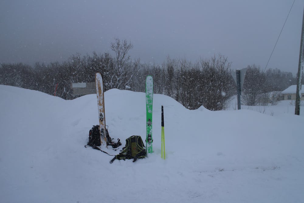
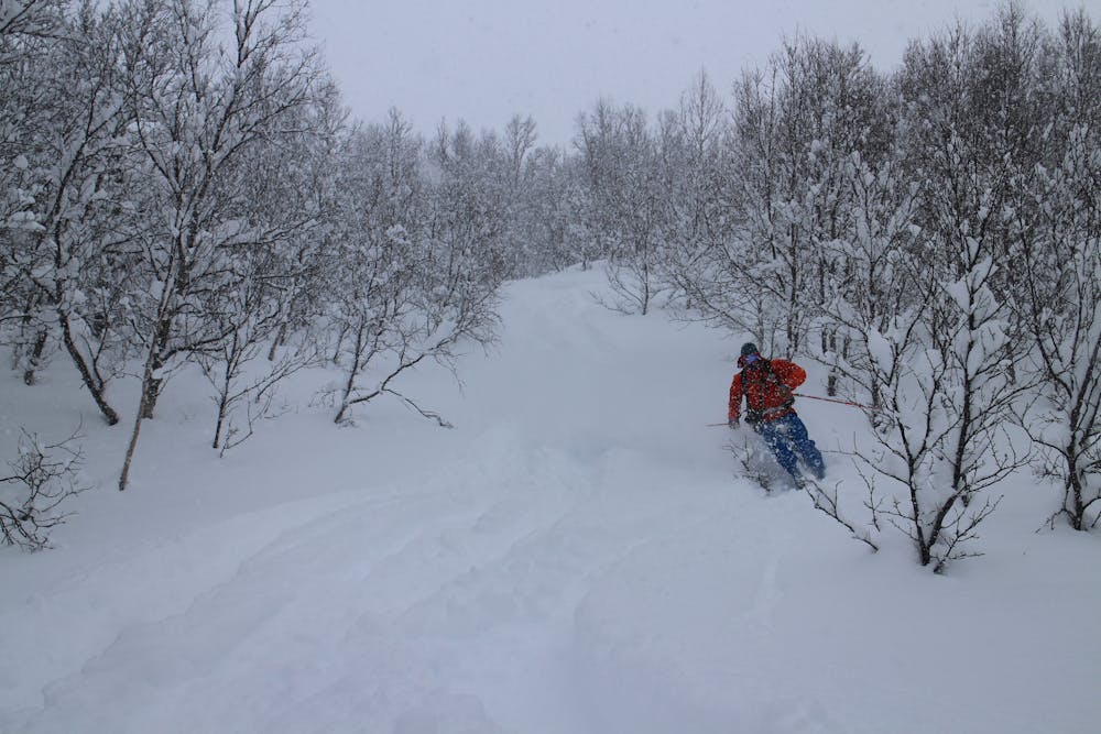
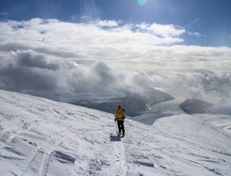
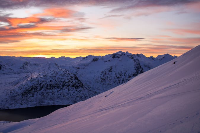
As with so many tours here the day starts with a skin up through trees and this is a good opportunity to double check that conditions look and feel as you expected. When you emerge out of the trees head south-southeast up a wide open slope and then climb west up a short, vague gully to reach the upper part of the mountain.
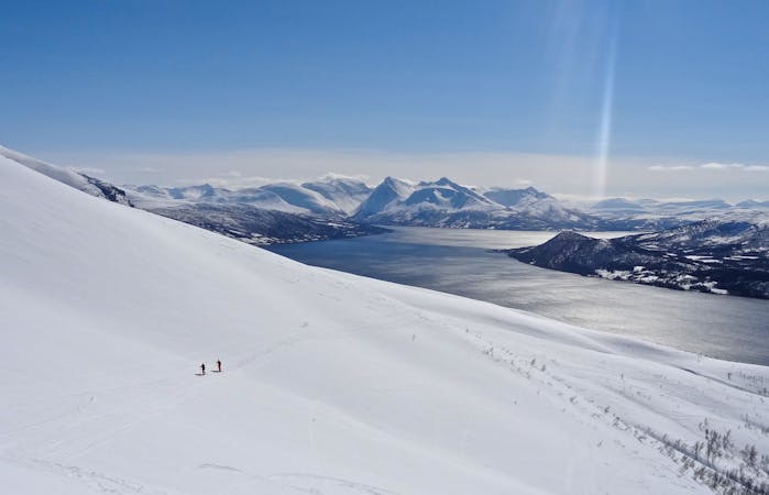
Continue south-southeast, essentially making a long traverse under Point 871m to the summit of Fagerfjellet itself. Obviously if the weather turns on your ascent then any point along the ridge between Point 871 and Fagerfjellet makes for a good high point to aim for. The shape of the mountain, with it's long, plateau like ridge that you've just skinned up, makes the summit feel somehow detached from the valleys below, as if you are sitting on a higher plain rather than the summit of a mountain. Enjoy the ambience then focus on the skiing!
The ski down, whilst mellow, is really fun and the big views, particularly across to Tromsdalstinden, are excellent.
Moderate
Slopes become slightly steeper at around 25-30 degrees.

Exposure is limited to that of the slope itself. Getting hurt is still likely if the slope is steep and/or the snow is hard.

In the high mountains or remote conditions, all individuals must be completely autonomous in every situation.
2.4 km away
A brilliant peak which dominates the view from the area to the south of it.
Difficult Ski Touring
7 routes · Ski Touring
10 routes · Ski Touring

50 routes · Freeride Skiing · Ski Touring