2.4 km away
Fagerfjellet
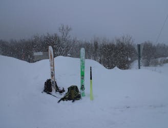
A good, easily accessible peak for when the avalanche risk is high.
Moderate Ski Touring
- Distance
- 9.2 km
- Ascent
- 960 m
- Descent
- 960 m

A brilliant peak which dominates the view from the area to the south of it.
Ski Touring Difficult

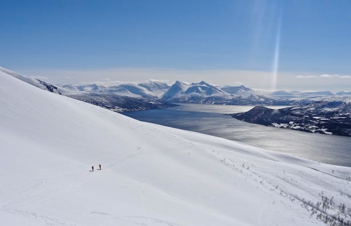
Peaks as prominent as this are always appealing to climb, but add in the fact that Tromsdaltinden enjoys massive views across the Tromsø area and has some superb skiing, and the whole package is even more appealing.
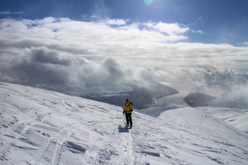
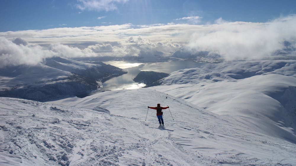
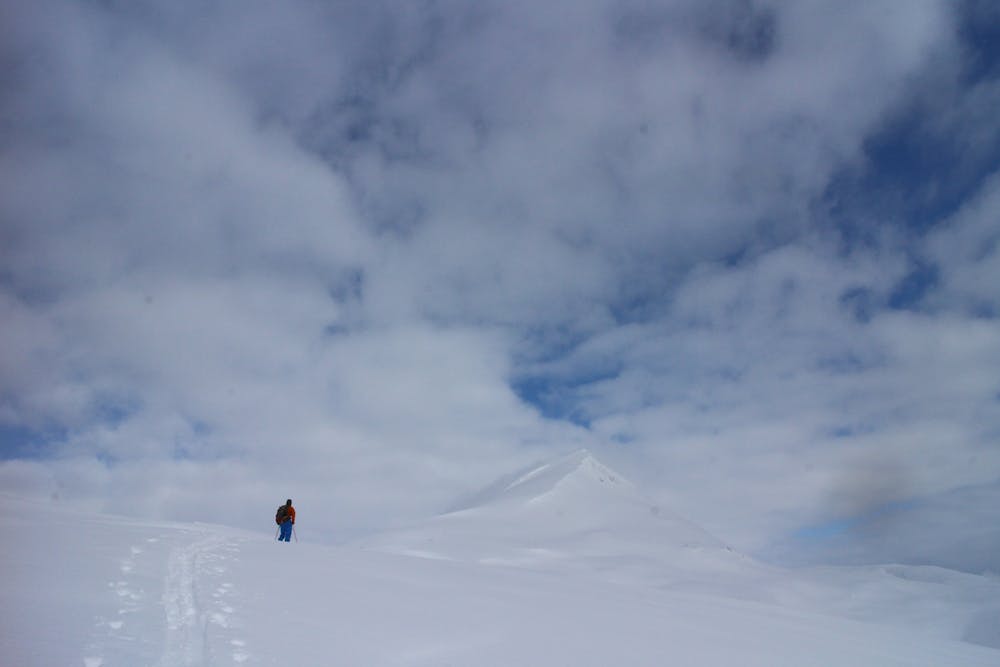
The ascent and descent routes are quite close together so on the way up you can scout where the best skiing will be, but you'll have to earn it before you get to experience it!
The climb is initially quite steep as it zig zags through trees but it quickly mellows out and leads you into a huge, wide valley to the south of Tromsdaltinden's summit.
Climb up the valley, heading for a huge, broad col south-west of the summit. Upon reaching the col, Tromsø city appears beneath you and it's a bit strange to suddenly see a big settlement having skinned up through such peaceful terrain.
Hang a right and skin up Tromsdalestinden's south-west ridge. The ridge is amazing, with views of Tromsø, the Lyngen peaks and the surrounding fjords which only improve as you gain height. Although wide and not exposed, there is steep terrain either side of the ridge so if conditions are icy, be careful and take your time.
The final few metres to the summit are virtually flat so you can take simply enjoy the ambience and the satisfaction of having reached your objective.
Having admired the view for a while, strip skins and ski back down the ridge. As you ski down there are cliffs to the left of the ridge but as these end, there is a great open slope which offers a fantastic south-west facing descent. From the bottom of the slope ski down a series of fun little bowls and then do a short sidestep to exit the final bowl before reaching the tree line again.
Ski down through the trees (which offer some fun skiing) back to the car.
Difficult
Serious gradient of 30-38 degrees where a real risk of slipping exists.
2.4 km away

A good, easily accessible peak for when the avalanche risk is high.
Moderate Ski Touring
7 routes · Ski Touring
10 routes · Ski Touring

50 routes · Freeride Skiing · Ski Touring