835 m away
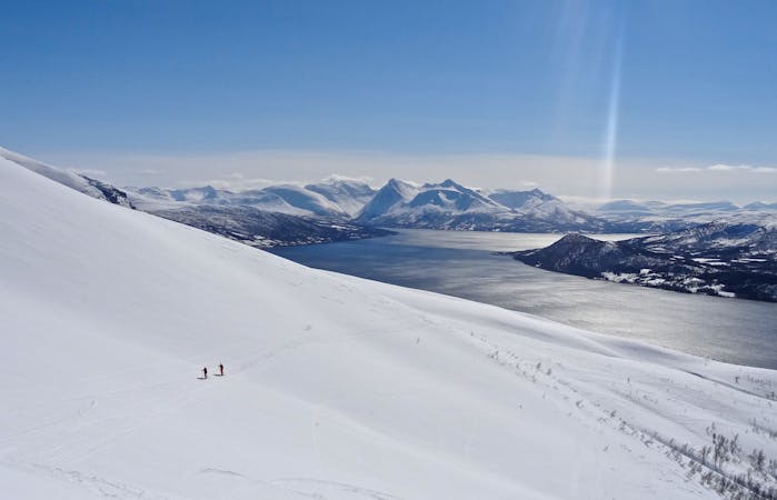
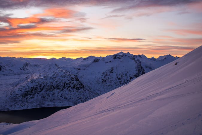
Blåtinden
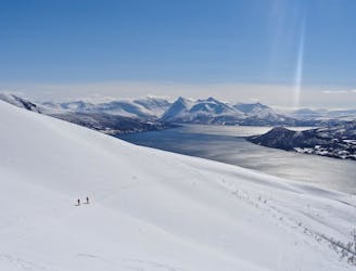
A wonderful peak with great, low stress skiing and incredible views across the southern part of the Lyngen Peninsula.
Moderate Ski Touring
- Distance
- 8.8 km
- Ascent
- 1.2 km
- Descent
- 1.2 km
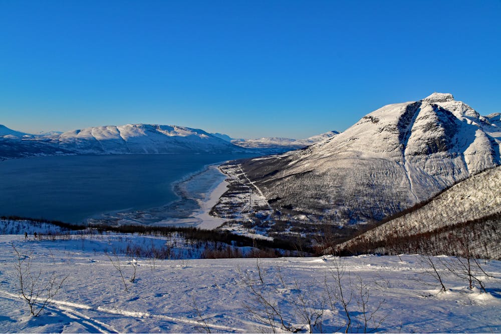
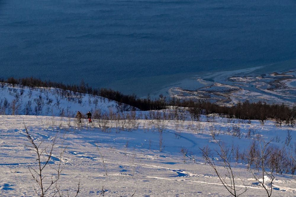
South-facing skitour, descent not too steep, around 1200 hm uphill
Ski Touring Moderate

This is a popular ski touring route which is generally considered to be moderate. It's very remote, it features medium exposure (e2) and is typically done between January and April. From a low point of 26 m to the maximum altitude of 1.2 km, the route covers 9.4 km, 1168 vertical metres of ascent and 1164 vertical metres of descent. You'll need skins and crampons to complete it safely.
South-facing skitour, descent not too steep, around 1200 hm uphill. Beware of the wind.
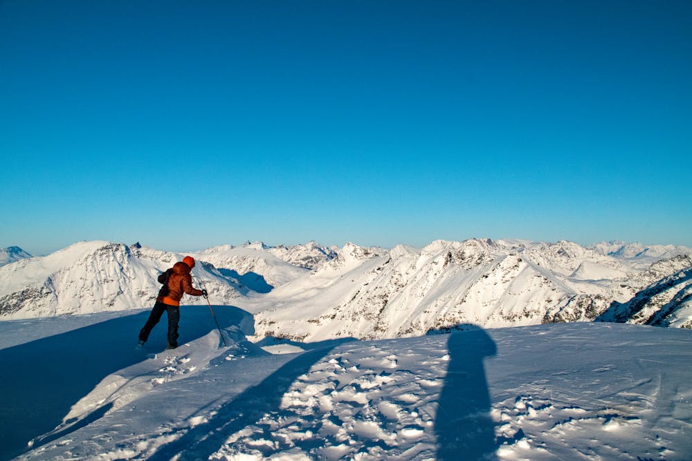
There is a small shelter on top.
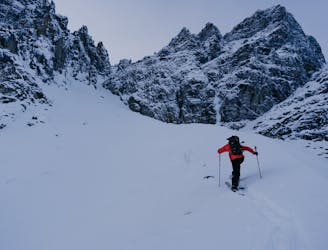
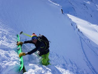
Moderate
Slopes become slightly steeper at around 25-30 degrees.

As well as the slope itself, there are some obstacles (such as rock outcrops) which could aggravate injury.

Little chance of being seen or helped in case of an accident.
835 m away
A wonderful peak with great, low stress skiing and incredible views across the southern part of the Lyngen Peninsula.
Moderate Ski Touring
3.2 km away
A nice couloir on the backside of popular touring mountain
Severe Ski Touring
9.2 km away
A beautiful peak which provides a staggering view and some wonderful open skiing.
Difficult Ski Touring
7 routes · Ski Touring
10 routes · Ski Touring