2 km away
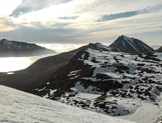
Store Hollendaren (1017m)
Store Hollendaren is a very good mountain for skiing, with a long season and opportunities for steep descents.
Difficult Ski Touring
- Distance
- 7.3 km
- Ascent
- 949 m
- Descent
- 949 m
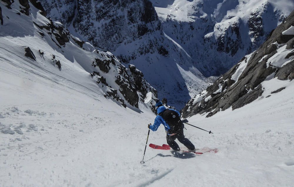
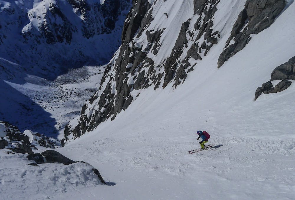
Really nice couloir that drops from just below the summit
Ski Touring Difficult

This is a popular ski touring route which is generally considered to be difficult. It's remote, it features unknown exposure and is typically done between April and May. From a low point of 4 m to the maximum altitude of 894 m, the route covers 10 km, 1124 vertical metres of ascent and 1124 vertical metres of descent. You'll need rope, skins, ice axe and crampons to complete it safely.
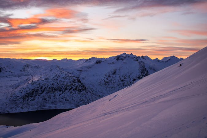
A nice couloir that drops from just below Breitinden's summit down to Grøtfjorden. Many variations are possible. Make sure you have fully evaluated the snow conditions before making a descent.
Difficult
Serious gradient of 30-38 degrees where a real risk of slipping exists.

Away from help but easily accessed.
2 km away
Store Hollendaren is a very good mountain for skiing, with a long season and opportunities for steep descents.
Difficult Ski Touring
5.7 km away
If you want to experience skiing in the midnight sun, this is the perfect peak!
Difficult Ski Touring
7.9 km away

The perfect "ski-after-work-mountain", with varied skiing.
Moderate Ski Touring
10 routes · Ski Touring
8 routes · Ski Touring

20 routes · Freeride Skiing · Ski Touring