4.7 km away
Steinskardtinden (817m)
The go-to mountain in the Tromsø region on powder days
Moderate Ski Touring
- Distance
- 6 km
- Ascent
- 728 m
- Descent
- 729 m
The perfect "ski-after-work-mountain", with varied skiing.
Ski Touring Moderate

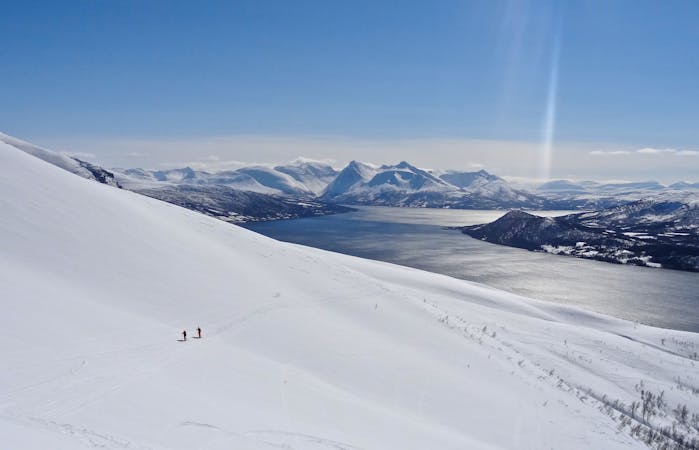
"Buren" is a popular winter tour for skiers and boarders in Tromsø. From Tromsø it's only a short drive of 20 minutes to where you park your car. The mountain is a perfect "ski-after-work-mountain" and offers varied skiing.
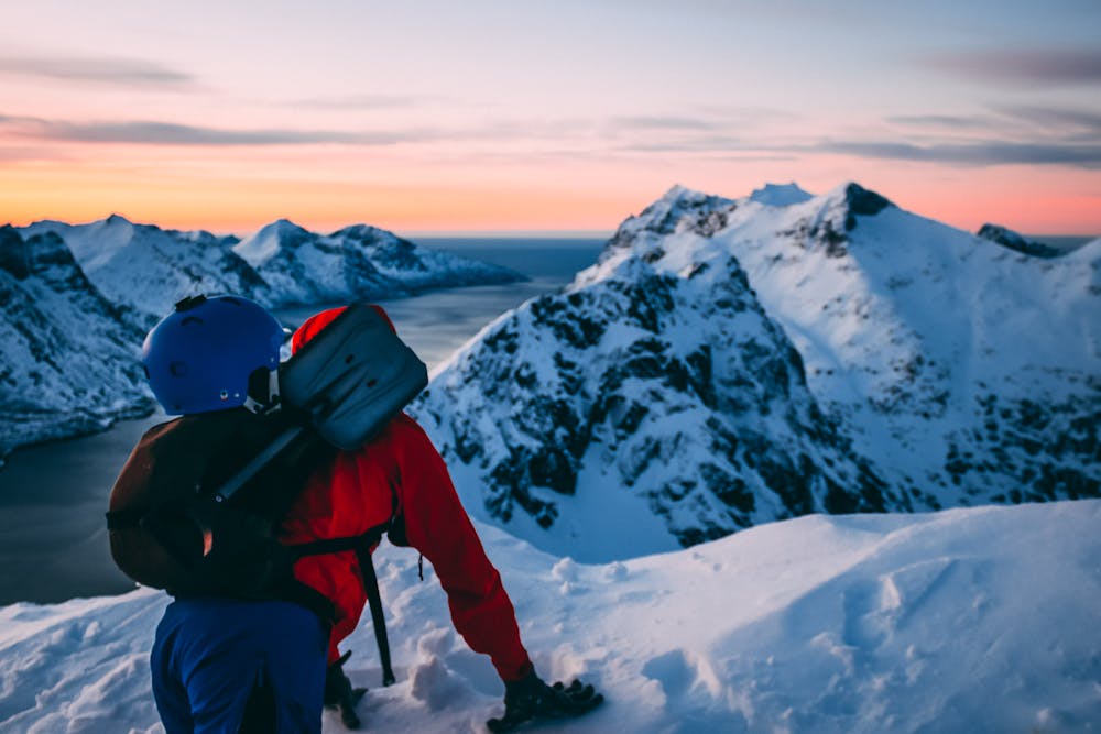

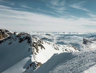
The mountain extends 802 meters above sea level and from the time you are plugged into your skis, you have all 802 altitude meters in front of you. The ascent starts immediately - without any flat terrain. There are several places along the road for parking in small "roadway-pockets" down by the sea. Please note that on weekends and other good weather days, parking facilities are filled up quickly, as this is a very popular touring peak.
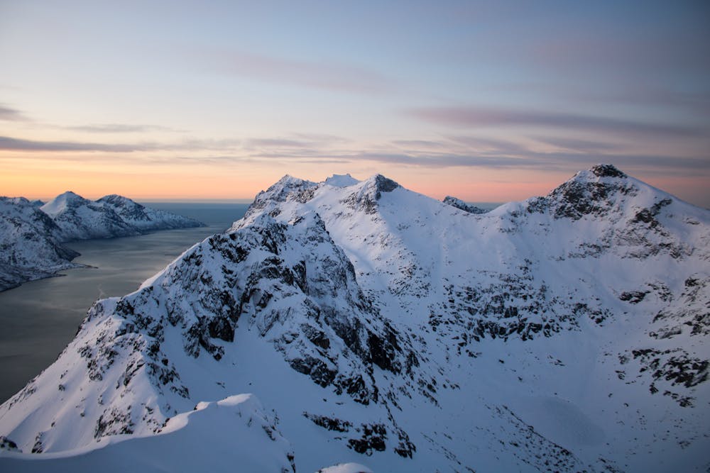
From the parking lot, the south side of the "Bentheimelven" is followed up towards "Skålhammaren". Here you reach a somewhat steeper section where most people follow the ridge, facing west towards the "Ersfjorden". Up on "Skålhammaren" the course turns north in the direction of "Burshammaren" before turning west along the ridge towards the top of Buren.
There are many descent options. One such possibility is the steeper section just south of the summit down towards "Skålhammaren". Here you have to consider your own skills, avalanche danger and snow conditions. The normal route however follows the same route you ascended.
Moderate
Slopes become slightly steeper at around 25-30 degrees.

Exposure is limited to that of the slope itself. Getting hurt is still likely if the slope is steep and/or the snow is hard.

Away from help but easily accessed.
4.7 km away
The go-to mountain in the Tromsø region on powder days
Moderate Ski Touring
6.6 km away
A true classic on Kvaløya, with a scenic view over Ersfjorden
Difficult Ski Touring
7.3 km away
Store Hollendaren is a very good mountain for skiing, with a long season and opportunities for steep descents.
Difficult Ski Touring
8.4 km away
A mellow little peak which offers a variety of nice descents.
Moderate Ski Touring
8.6 km away
The most iconic summit on Kvaløya
Difficult Ski Touring
9.6 km away
A classic Kvaløya tour, with a little alpine adventure if you would like to reach the very top.
Difficult Ski Touring
7 routes · Ski Touring
10 routes · Ski Touring
8 routes · Ski Touring

20 routes · Freeride Skiing · Ski Touring