3.1 km away
Barcelona to Sant Cugat
An inspiring point-to-point route running from Barcelona all the way to Sant Cugat del Valles.
Moderate Hiking
- Distance
- 9.6 km
- Ascent
- 323 m
- Descent
- 340 m
A beautiful ridgeline traverse of the Collserola mountain range.
Hiking Moderate

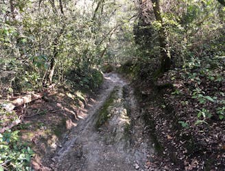
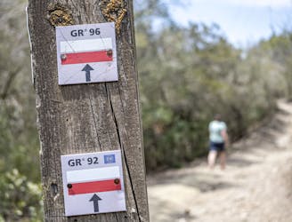
This ambitious point-to-point hike climbs from the Trinitat Nova train station to the crest of the Collserola Mountains, and then traverses the crest all the way to the Vallvidrerar Funicular. With a lot of up-and-down sections along the way, you’ll gain over 2,000 feet of elevation along this 7.5-mile route.
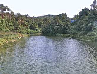
The climb begins right from the train station, which is the end of both the yellow (L4) and green (L3) train lines. "After a short hike into the hills, the trail overlooks the Besòs river, marking the northern border of Barcelona, writes BarcelonaNavigator.com.
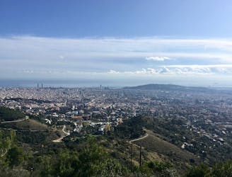
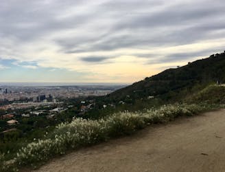
Once you gain the crest of the mountain range, you’ll enjoy expansive views of the city to your left and Parc de Collserola to your right. There aren’t many hikes in Collserola with views this grand—savor the beauty!
Moderate
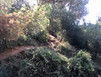
Hiking along trails with some uneven terrain and small hills. Small rocks and roots may be present.

The trail contains some obstacles such as outcroppings and rock which could cause injury.
Away from help but easily accessed.
3.1 km away
An inspiring point-to-point route running from Barcelona all the way to Sant Cugat del Valles.
Moderate Hiking
5.8 km away
Explore the Collserola natural park and enjoy great views over Barcelona
Moderate Hiking
7.6 km away
A mellow hike with beautiful views of Barcelona
Easy Hiking
7.6 km away
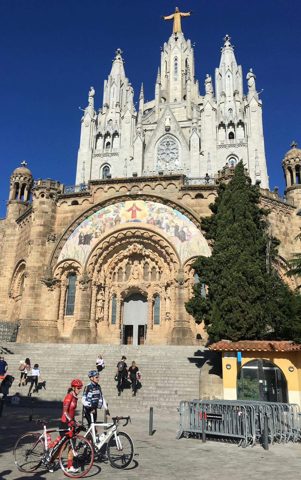
One of the most popular hiking objectives in Collserola.
Difficult Hiking
7.6 km away
Hike a prominent ridge through Collserolla, with views of Montserrat.
Moderate Hiking
7.7 km away
A lovely, winding stroll form the top of the Valvidrera funicular
Moderate Hiking
9 km away
A short loop through the forest of Collserolla.
Moderate Hiking

6 routes · Hiking