241 m away
Alta Ruta of the Madrid Province
A massive one day circular route that covers the 10 highest peaks of Madrid Province
Severe Trail Running
- Distance
- 61 km
- Ascent
- 2.7 km
- Descent
- 2.7 km
A route in the middle of busy area where you can be on your own almost all the time.
Trail Running Moderate

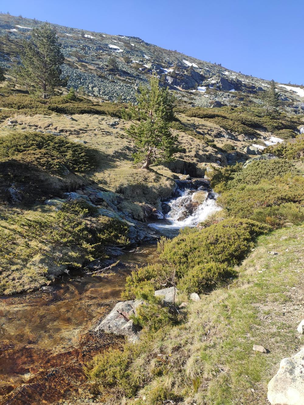
A relatively short run via some rarely frequented parts of the Puerto de Cotos region. While the car park and the Cabeza de Hierro peak may be crowded, the majority of the route is "hidden" from the masses. Especially enjoyable in spring after snow thaws. Also viable as a ski touring option in winter in right conditions. Descent via Valhondillo valley can be tricky as there is not much traffic so the track is sometimes lost in brooms. When in doubt, follow the cairns and generally keep to the left of the stream (when descending) - in summer the cows pasture on the grass so getting through can resemble a minefield at places! But the surroundings and solitude make up for it. Once descended the valley, forest road takes you back almost the whole distance - apart from final short climb to the parking on a singletrack.
Moderate

The path is on completely flat land and potential injury is limited to falling over.
Close to help in case of emergency.
241 m away
A massive one day circular route that covers the 10 highest peaks of Madrid Province
Severe Trail Running