119 m away
Via Alpina Green Route C11: Lauterbrunnen to Griesalp
Pass through the exclusive ski and spa town of Mürren on this 20km stretch of the Via Alpina.
Difficult Hiking
- Distance
- 22 km
- Ascent
- 1.9 km
- Descent
- 1.3 km
Lauterbrunnen to Murren and Gimmelwald (via Murrenbahn cable car)
Hiking Moderate

This is a popular hiking route which is generally considered to be moderate. It's not remote, it features medium exposure and is typically done between June and September. From a low point of 799 m to the maximum altitude of 1.6 km, the route covers 16 km, 891 vertical metres of ascent and 890 vertical metres of descent.
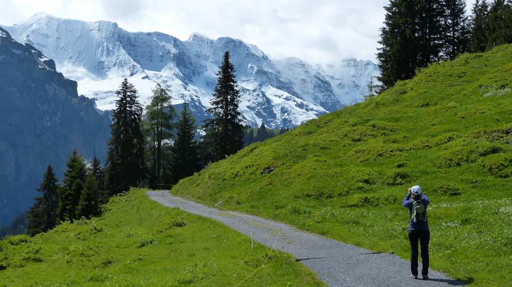
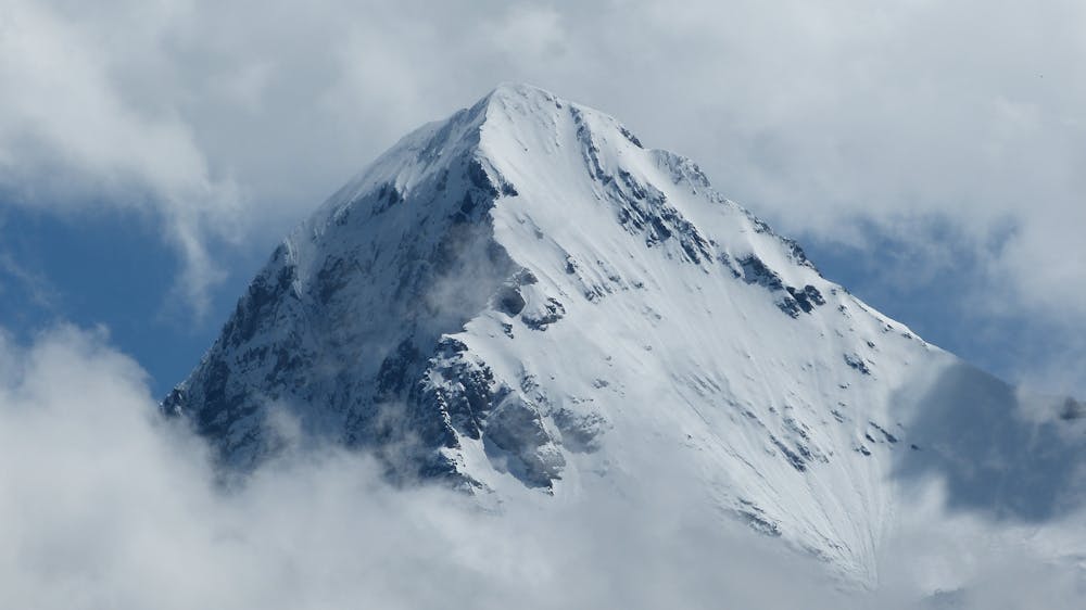
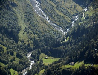
Stunning views of the Lauterbrunnen Valley, the Eiger and Jungfrau
Moderate
Hiking along trails with some uneven terrain and small hills. Small rocks and roots may be present.

The trail contains some obstacles such as outcroppings and rock which could cause injury.

Close to help in case of emergency.
119 m away
Pass through the exclusive ski and spa town of Mürren on this 20km stretch of the Via Alpina.
Difficult Hiking
5.9 km away
A contender for the most scenic hike in Switzerland!
Difficult Hiking

15 routes · Hiking