4.7 km away
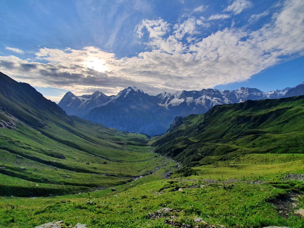
Via Alpina Green Route C11: Lauterbrunnen to Griesalp
Pass through the exclusive ski and spa town of Mürren on this 20km stretch of the Via Alpina.
Difficult Hiking
- Distance
- 22 km
- Ascent
- 1.9 km
- Descent
- 1.3 km
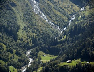
Schöne Wanderung von Stechelberg nach Schilthorn
Hiking Difficult

This is a popular hiking route which is generally considered to be difficult. It's very remote, it features medium exposure and is typically done between April and September. From a low point of 859 m to the maximum altitude of 3 km, the route covers 16 km, 2391 vertical metres of ascent and 285 vertical metres of descent.
Hammer Aussicht und wunderschöne Gegend
Difficult
Hiking trails where obstacles such as rocks or roots are prevalent. Some obstacles can require care to step over or around. At times, the trail can be worn and eroded. The grade of the trail is generally quite steep, and can often lead to strenuous hiking.

The trail contains some obstacles such as outcroppings and rock which could cause injury.

Little chance of being seen or helped in case of an accident.
4.7 km away
Pass through the exclusive ski and spa town of Mürren on this 20km stretch of the Via Alpina.
Difficult Hiking

15 routes · Hiking