205 m away
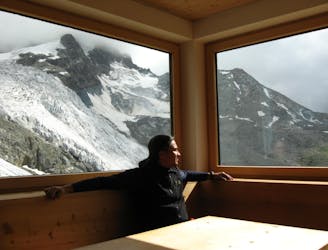
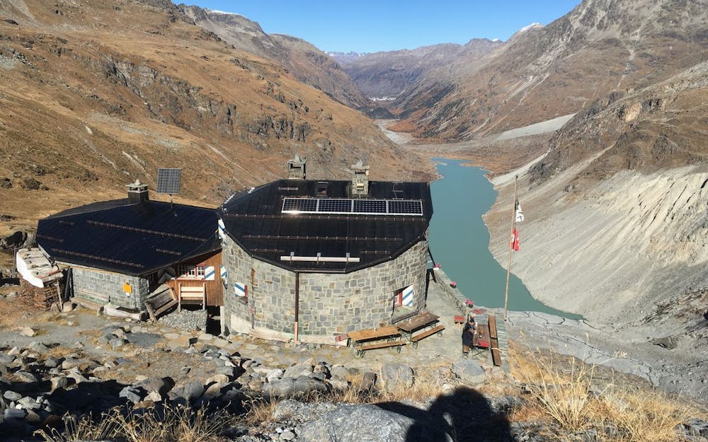
Approach to Tschierva Hut
A steady walk in which can be MTB assisted, or via a horse drawn cart!
Difficult Hiking
- Distance
- 12 km
- Ascent
- 829 m
- Descent
- 15 m
trail with amazing views over Tschierva glacier and all summits of the valley
Hiking Difficult

This is a popular hiking route which is generally considered to be difficult. It's remote, it features low exposure and is typically done between June and October. From a low point of 1.8 km to the maximum altitude of 2.7 km, the route covers 30 km, 1143 vertical metres of ascent and 1143 vertical metres of descent.
Very well indicated trail, lots of small rivers to collect water, amazing landscape
Difficult
Hiking trails where obstacles such as rocks or roots are prevalent. Some obstacles can require care to step over or around. At times, the trail can be worn and eroded. The grade of the trail is generally quite steep, and can often lead to strenuous hiking.

The path is on completely flat land and potential injury is limited to falling over.

Away from help but easily accessed.
205 m away
A steady walk in which can be MTB assisted, or via a horse drawn cart!
Difficult Hiking
4 routes · Alpine Climbing · Hiking