5.4 km away
Via Alpina Green Route C1: Sücka to Vaduz
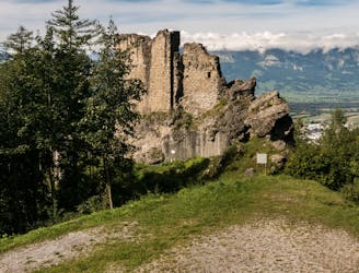
A 12.5km hike through Lichtenstein's mountain woodlands and to historical landmarks.
Moderate Hiking
- Distance
- 13 km
- Ascent
- 364 m
- Descent
- 1.2 km
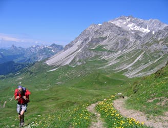
Day 4 of the 7 day Via Alpina hiking itinerary along the limestone cliffs of Rätikon.
Also in Vorarlberg, Austria
Hiking Moderate

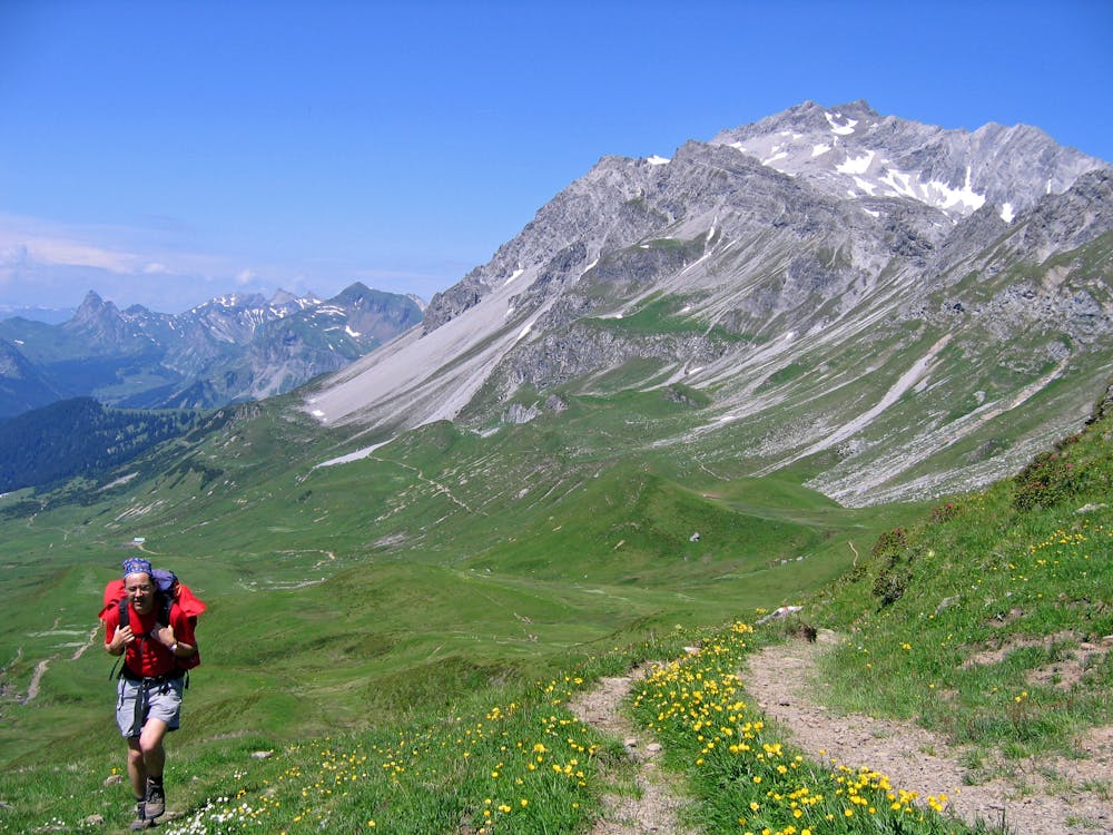
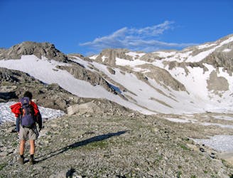
Leaving the Pfälzer Hut, head in the direction of the Barthümeljoch Pass, climbing up through mountain pastures and scree slopes as you go. Just before you reach the pass, you cross over into Austria, and you will also cross the Hochjoch Pass or “Gross Furgga,” which at 2,359m is typically covered in snow year-round, so watch your footing!
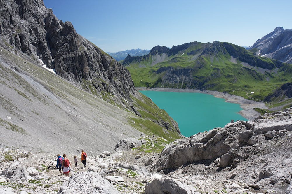
Crossing over the border into Switzerland, and passing the Hornspitz, begin to descend down below the rock faces of the Rätikon all the way down to the Schesaplana Hut, your resting place for the night.
Sources http://www.via-alpina.org/en/
Moderate
Hiking along trails with some uneven terrain and small hills. Small rocks and roots may be present.

The trail contains some obstacles such as outcroppings and rock which could cause injury.
Away from help but easily accessed.
5.4 km away
A 12.5km hike through Lichtenstein's mountain woodlands and to historical landmarks.
Moderate Hiking
6.2 km away
Day 5 of the 7 day Via Alpina hiking itinerary along the limestone cliffs of Rätikon.
Difficult Hiking
6.5 km away
Day 3 of the 7 day Via Alpina hiking itinerary along the limestone cliffs of Rätikon.
Moderate Hiking

15 routes · Hiking

7 routes · Hiking