1.1 km away
Via Alpina Green Route C1: Sücka to Vaduz
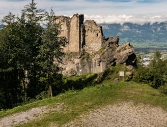
A 12.5km hike through Lichtenstein's mountain woodlands and to historical landmarks.
Moderate Hiking
- Distance
- 13 km
- Ascent
- 364 m
- Descent
- 1.2 km
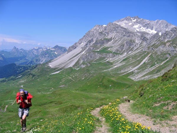
Day 3 of the 7 day Via Alpina hiking itinerary along the limestone cliffs of Rätikon.
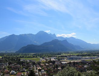
Also in Schaan, Liechtenstein • Triesenberg, Liechtenstein • Vaduz, Liechtenstein
Hiking Moderate

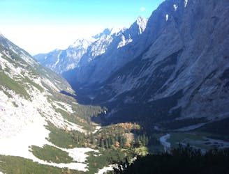
Following the Via Alpina stage R58, the trail leaves the mountain village of Sücka and follows a track through a forest to Alpelti, affording fantastic views of the Walser settlement of Steg as you go.
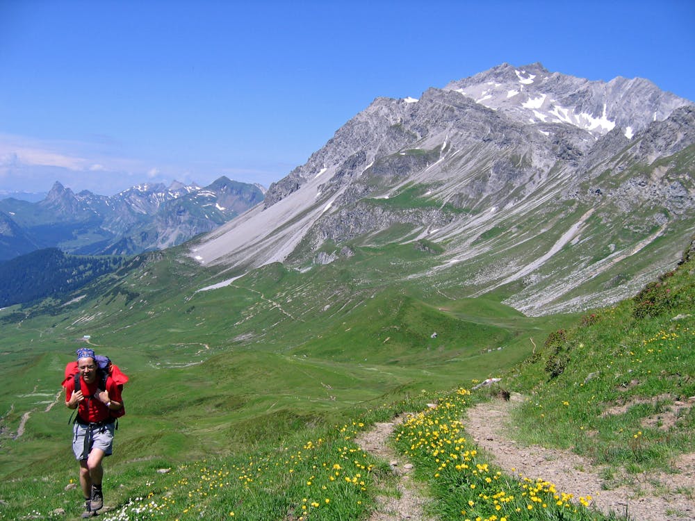
You will pass through the Naafthal Valley, skirting along the Rätikon Massif before arriving at the Pfälzer hut, where you’ll spend the night.
Sources
Moderate
Hiking along trails with some uneven terrain and small hills. Small rocks and roots may be present.

The trail contains some obstacles such as outcroppings and rock which could cause injury.
Away from help but easily accessed.
1.1 km away
A 12.5km hike through Lichtenstein's mountain woodlands and to historical landmarks.
Moderate Hiking
3.9 km away
A 17.7km hike through woodlands, valleys and marshland crossing over from Lichtenstein to Switzerland.
Moderate Hiking
6.5 km away
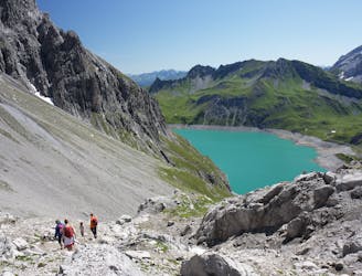
Day 4 of the 7 day Via Alpina hiking itinerary along the limestone cliffs of Rätikon.
Moderate Hiking
7.5 km away
Day 2 of the 7 day Via Alpina hiking itinerary along the limestone cliffs of Rätikon.
Difficult Hiking

15 routes · Hiking
7 routes · Hiking