2.8 km away
Gafallengrat
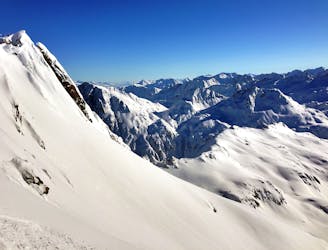
Nice variant of Unteralpthal that needs 45 minutes of walking.
Difficult Ski Touring
- Distance
- 4.9 km
- Ascent
- 179 m
- Descent
- 1.1 km
Hike twice, ski twice and cross close to the St. Gotthard pass
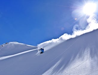
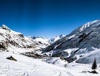
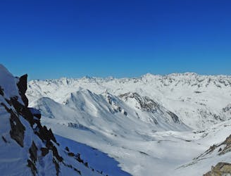
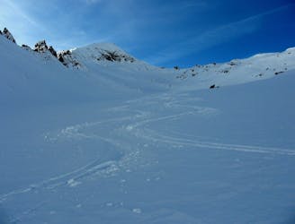
Ski Touring Moderate

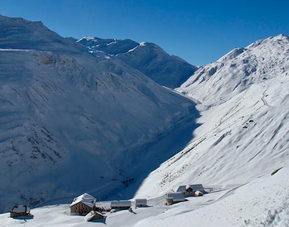
From the top of Gemsstock you ski south, about 35 degrees for a few turns, then a flat part and again a 35 degrees part, this time a bit longer and with more traversing. When you arrive under a little pass on your right (west) which is about 100 metres higher, start walking. There are often tracks for skins and for foot-steps. At the pass called Guspis your run starts. You cannot miss the way, just follow gravity. When the valley turns right you keep going straight and start climbing up with your skins heading south-west. The pass is at 2585 metres, so you have a bit more than 200 metres of height difference. On the other side you just keep going down as you want. After 500 metres there are some cliffs but they are easy to navigate around. When you arrive at the first hut, "Grasso della Riva" they are over. There you could turn left to go to the St. Gotthard Pass and then follow the road, or you continue straight down to the pass road. When you reach it, follow it, skiing on top of the gallery and then follow again the road. At "Mätteli" it does a big "S"; cut the corner and follow it again until Realp, where a ski bus is running every half an hour.
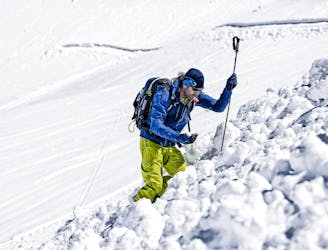
Moderate
Slopes become slightly steeper at around 25-30 degrees.

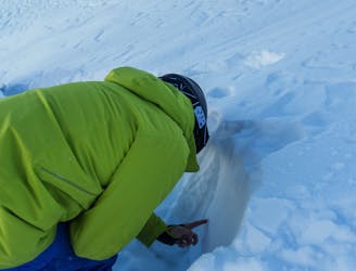
As well as the slope itself, there are some obstacles (such as rock outcrops) which could aggravate injury.

Little chance of being seen or helped in case of an accident.
2.8 km away
Nice variant of Unteralpthal that needs 45 minutes of walking.
Difficult Ski Touring
2.8 km away
Banish those Monday Blues! | 1 Day
Moderate Ski Touring
4.6 km away
Staying safe out there! | 2 Days
Moderate Ski Touring
6 km away

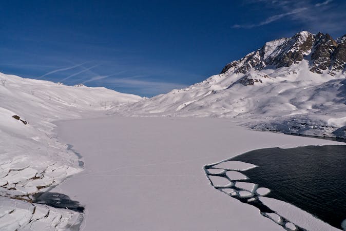
Mellow non-glaciated touring past some frozen lakes
Moderate Ski Touring
7.2 km away
Ski touring essentials for skiers and snowboarders | 3 Days
Easy Ski Touring
7.2 km away
A steady warm up day with an optional ascent of a peak, for the fit and enthusiastic.
Difficult Ski Touring
7.2 km away
Advanced avalanche training | 2 Days
Moderate Ski Touring
7.2 km away
Onwards and upwards! | 3 days
Moderate Ski Touring
9.2 km away
Day 6: Pizzo Lucendro then down to Realp
Severe Ski Touring
6 routes · Ski Touring
5 routes · Ski Touring