33 m away
Col de la Chaux Exit

An easy descent to re-join the pistes of Verbier from the Col de la Chaux.
Moderate Freeride Skiing
- Distance
- 975 m
- Ascent
- 2 m
- Descent
- 256 m
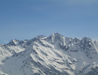
The route up to the Bec des Rosses.
Freeride Skiing Severe

This is a popular freeride skiing route which is generally considered to be severe. It's very remote, it features unknown exposure and is typically done in an unknown time of year. From a low point of 3 km to the maximum altitude of 3.2 km, the route covers 807 m, 274 vertical metres of ascent and 21 vertical metres of descent. You'll need skins and crampons to complete it safely.
If you are going to ski the Bec des Rosses you can probably figure out the approach all on your own! Follow the ridge taking logical passages either side as required.
Severe
Steep skiing at 38-45 degrees. This requires very good technique and the risk of falling has serious consequences.

Little chance of being seen or helped in case of an accident.
33 m away
An easy descent to re-join the pistes of Verbier from the Col de la Chaux.
Moderate Freeride Skiing
586 m away

The 'easiest' route down the legendary Bec des Rosses
Severe Freeride Skiing
626 m away
The classic, most natural line from the summit of the Bec des Rosses
Extreme Freeride Skiing
851 m away

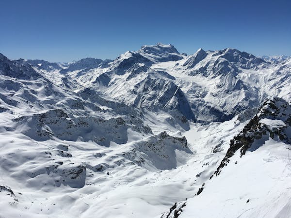
South Face of Mont Fort travelling past the legendary Bec des Rosses
Severe Freeride Skiing
859 m away

A short skin gives access to the Col Ferret and various routes which start here
Moderate Freeride Skiing
979 m away
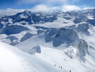
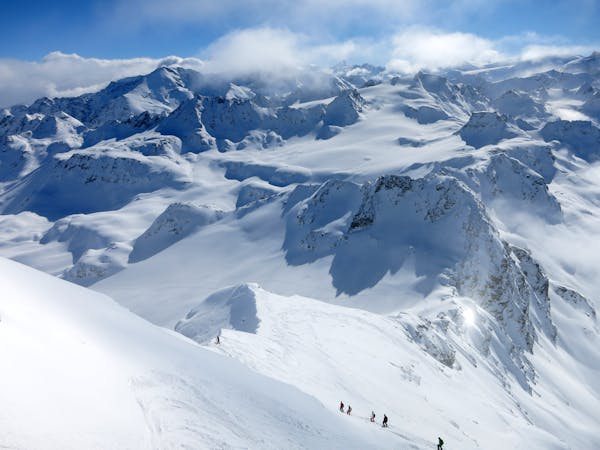
THE Verbier classic taking a journey a long way from the ski area. Serious skiing in a serious environment.
Severe Freeride Skiing
1.1 km away

An extremely serious, steep line straight from the top ridge of Mont-Fort.
Extreme Freeride Skiing
1.1 km away

A nice run down the gentle slopes of the glacier to join the exit of the classic 'Backside'
Difficult Freeride Skiing
1.1 km away

Gnarly with a capital G. Perhaps second only to the Bec des Rosses for extreme lines.
Extreme Freeride Skiing
1.3 km away

A classic bowl easily accessible from the Gentianes - La Chaux red piste.
Difficult Freeride Skiing

50 routes · Freeride Skiing · Ski Touring
50 routes · Freeride Skiing
10 routes · Freeride Skiing