102 m away
Mont Fort - Backside
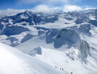
THE Verbier classic taking a journey a long way from the ski area. Serious skiing in a serious environment.
Severe Freeride Skiing
- Distance
- 8.5 km
- Ascent
- 58 m
- Descent
- 1.6 km

Another 'poubelle' couloir, so called because they were once upon a time used as the rubbish shoot. Only for very experienced riders, this descent is a very serious, very steep and exposed line. From the top of the Mont-Fort lift, climb to the summit and along the ridge. There is a large east facing bowl which funnels in to the couloir. Ski the narrow couloir and at the end join the rest of the classic Backside line.
Extreme
Extreme skiing terrain above 45 degrees. These routes are reserved for experienced experts.

In case of a fall, death is highly likely.
Little chance of being seen or helped in case of an accident.
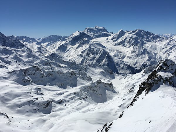
102 m away
THE Verbier classic taking a journey a long way from the ski area. Serious skiing in a serious environment.
Severe Freeride Skiing
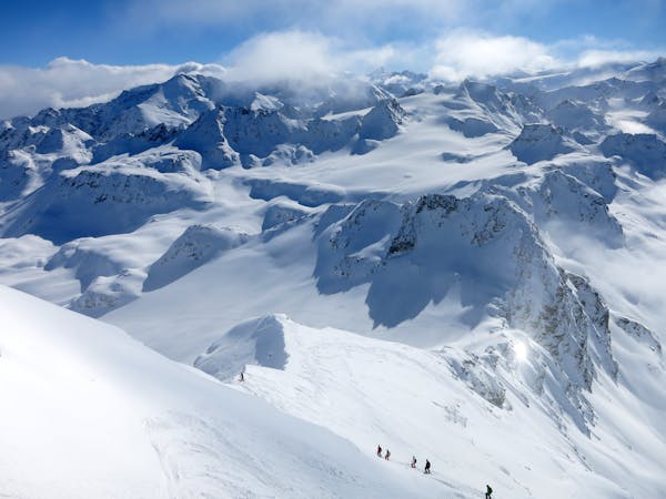
104 m away

A nice run down the gentle slopes of the glacier to join the exit of the classic 'Backside'
Difficult Freeride Skiing
127 m away

Gnarly with a capital G. Perhaps second only to the Bec des Rosses for extreme lines.
Extreme Freeride Skiing
223 m away

South Face of Mont Fort travelling past the legendary Bec des Rosses
Severe Freeride Skiing
265 m away

A short climb gives access to a beautiful open bowl
Severe Freeride Skiing
521 m away

An excellent but very serious, steep and exposed couloir
Extreme Freeride Skiing
587 m away

A short skin gives access to the Col Ferret and various routes which start here
Moderate Freeride Skiing
856 m away

A variant down the Glacier du Petit Mont Fort away from the main Backside crowds for a bit longer
Difficult Freeride Skiing
1.1 km away

An easy descent to re-join the pistes of Verbier from the Col de la Chaux.
Moderate Freeride Skiing
1.1 km away

The route up to the Bec des Rosses.
Severe Freeride Skiing

50 routes · Freeride Skiing · Ski Touring
50 routes · Freeride Skiing
10 routes · Freeride Skiing