320 m away
Marmotte 17

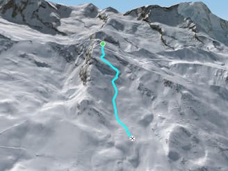
A short traverse through rolling terrain which leads to great skiing on a long and sustained slope.
Difficult Freeride Skiing
- Distance
- 2.6 km
- Ascent
- 1 m
- Descent
- 908 m

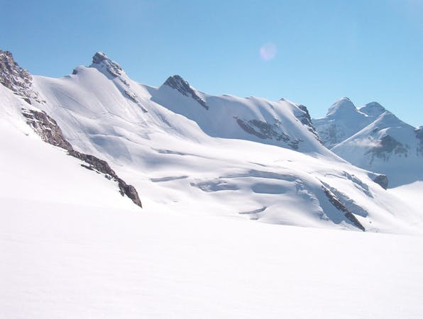
The front of the Rothorn face which features a variety of gullies and ridges to play around on - just don't stray too far left of the poles as the aspect changes to South.
Freeride Skiing Difficult

After the top steeper section of the Schneehuhn piste, take the left hand turn on the flat and continue straight, traversing onto the ridge of the mountain. The slope then drops away to the left onto a steeper open face. This face has good snow, rolling down a convex slope, until it flattens out and bends round to the right at the bottom. There is a small traverse before the next section which is a steeper pitch, with a great choice of lines. You turn another corner now, and get a few deep breaths before hitting the next pitch. This pitch starts to feature a few small trees as you head down towards the Tuftern run and there is a choice of gullies and small ridges to explore on the bottom of this open face, before you reconnect with the piste.
Difficult
Serious gradient of 30-38 degrees where a real risk of slipping exists.
320 m away

A short traverse through rolling terrain which leads to great skiing on a long and sustained slope.
Difficult Freeride Skiing
1.1 km away

A steeper and more powdery alternative to the Paradise bump run
Moderate Freeride Skiing
1.2 km away

A great bump run, with a variety of pitches and small transitions
Moderate Freeride Skiing
3 km away

Alternative route after Triftji which requires a hike at the end
Difficult Freeride Skiing
3.1 km away

A great little tree run, especially when there's plenty of fresh powder
Difficult Freeride Skiing
3.3 km away

A long variation to the Mittelritze 30 that is fun and flowy.
Difficult Freeride Skiing
3.4 km away

A run for mogul-lovers with pitch after pitch of bumps to get your legs burning!
Moderate Freeride Skiing
3.8 km away

A famous off piste route which is prone to avalanches (so check conditions first).
Severe Freeride Skiing
4 km away

Steep terrrain linking the Hohtalli station to the 'Platte 31' off-piste run.
Difficult Freeride Skiing
4 km away

The varied bottom section to the Triftji ski area. Boasts some great short pitches and some traverses to take you back to the main ski area.
Moderate Freeride Skiing

20 routes · Freeride Skiing