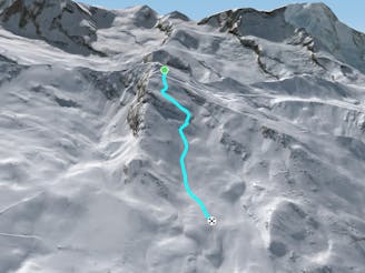
320 m away
Chamois 16

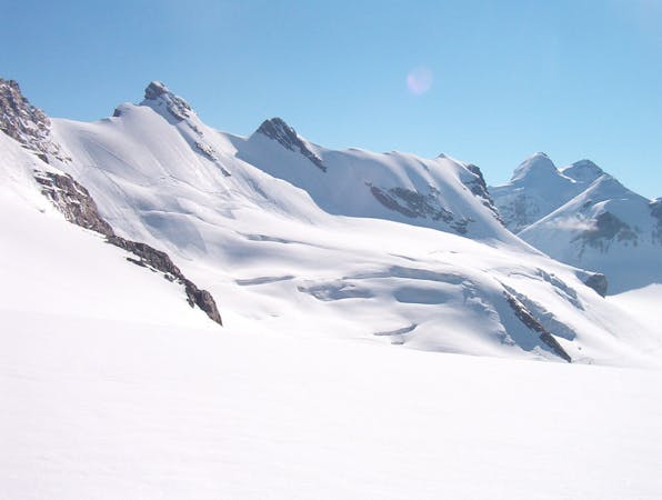
The front of the Rothorn face which features a variety of gullies and ridges to play around on - just don't stray too far left of the poles as the aspect changes to South.
Difficult Freeride Skiing
- Distance
- 1.6 km
- Ascent
- 0 m
- Descent
- 707 m