677 m away
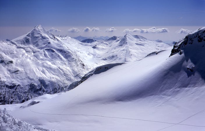
Plattjen Pillow Line

A great pillow line for those looking to hop from snowcapped rock to snowcapped rock.
Moderate Freeride Skiing
- Distance
- 1 km
- Ascent
- 0 m
- Descent
- 527 m
A steep river bed off piste line
Freeride Skiing Difficult

Coming off the Platjen cable car, ski towards the left of the red piste heading to the village. Here you can navigate down skiers left of the piste for a couple hundred metres. To the left is also a forest further down- here stay high and ski along the top line of the forest. Navigating through the forest staying as high as possible traversing left until you reach the opening of the river bed. From here make your way down back towards the piste that comes from the Morenia area back to the village lifts. Finishing back on the piste not too far from the bottom station of the Felskinn cable car. A steep river bed style couloir that can be prone to avalanches so care must be taken and always with the correct equipment.
Difficult
Serious gradient of 30-38 degrees where a real risk of slipping exists.

As well as the slope itself, there are some obstacles (such as rock outcrops) which could aggravate injury.

Little chance of being seen or helped in case of an accident.
677 m away
A great pillow line for those looking to hop from snowcapped rock to snowcapped rock.
Moderate Freeride Skiing
683 m away

A classic tree run. Easily accessible and very open to find your own fresh lines even on the busiest of days.
Easy Freeride Skiing
2.2 km away

A short but fun riverbed ski line, close to the pistes and not too challenging so open to many levels of skier and snowboarder.
Moderate Freeride Skiing
3 km away

A large area full of fun and wide off-piste sections of plenty of powder with various gradients.
Difficult Freeride Skiing
3.5 km away

A large area full of fun and wide off piste sections of plenty of powder with various gradients.
Difficult Freeride Skiing
6 routes · Freeride Skiing