2.7 km away
Le Lac du Louche
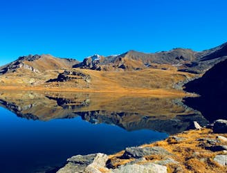
A long, quiet, and wild walk through the high alpine with a fantastic lakeside lunch stop
Moderate Hiking
- Distance
- 9.9 km
- Ascent
- 588 m
- Descent
- 588 m
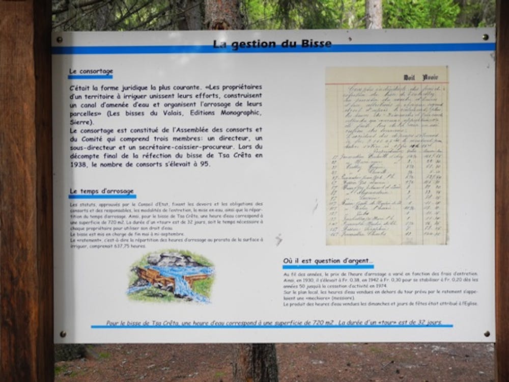
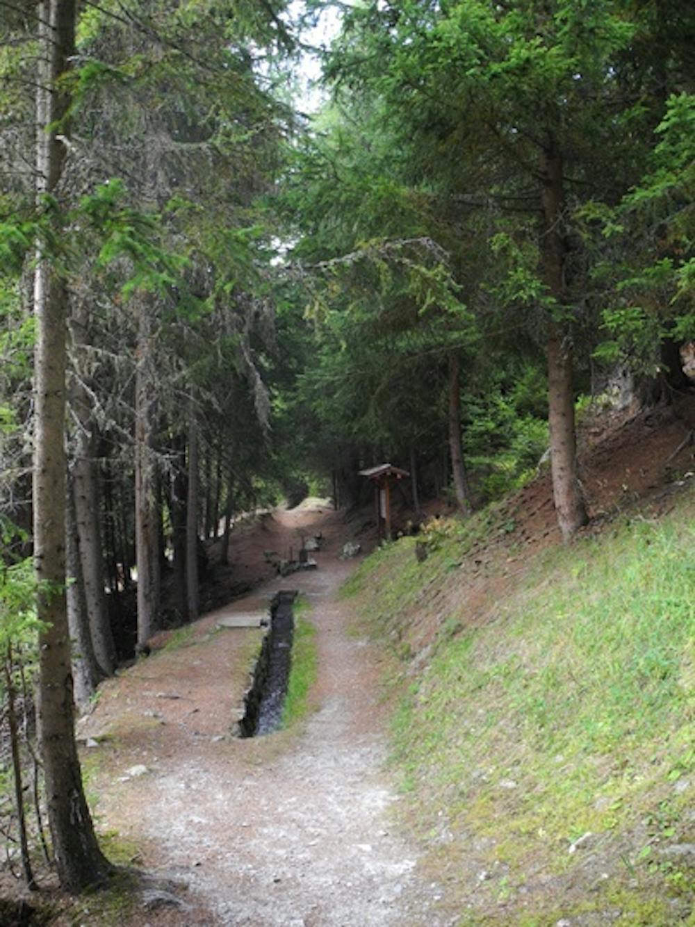
Built in the fourteenth century, the bisse was restored ten years ago. There are educational panels explaining the social organisation and irrigation rules along the path.
Hiking Easy

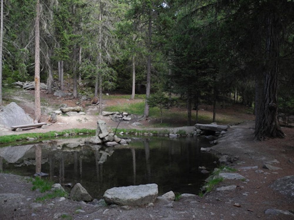
Follow the bisse until it takes water. For the return you can loop by La Rimble or Mayens de Praz. These two return trips start where the bisse takes water. For La Rimble, climb towards the Mase pastures and for Mayens de Praz follow the sign-posts for Sentiers Didactiques descending, cross Mayens de Parz and join the forest road (GPS 46°11’47’’ N 7°27’30’’ E) which climbs in the direction of the bisse to reach your starting point.
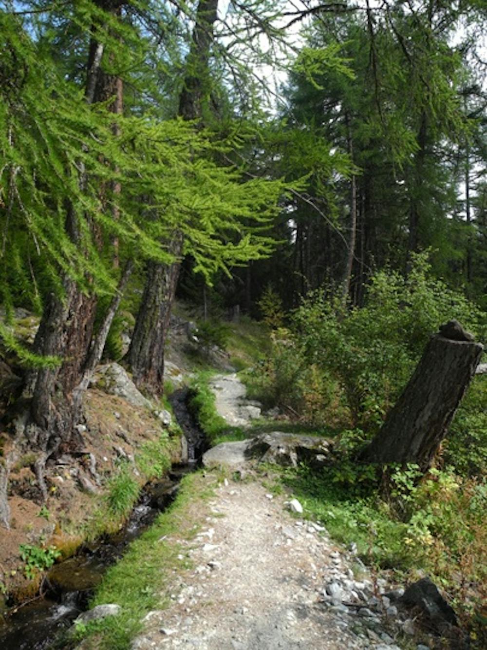
Can also be done in winter (but you may not see much running water!).
Easy
Walking along a well-kept trail that’s mostly flat. No obstacles are present.
2.7 km away
A long, quiet, and wild walk through the high alpine with a fantastic lakeside lunch stop
Moderate Hiking
3.1 km away
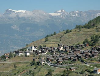
A beautiful scenic route up Mont Noble from the pretty village of Nax through the small forest paths. A full day hike but never too hard.
Difficult Hiking
3.4 km away
An easy short stroll through the shady forest with wild fruits and good views of the valley below.
Easy Hiking