65 m away
Haute Route Glacier Trek Day 3 (Part 2) - Mauvoisin to the Cabane de Chanrion.
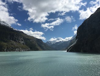
A lovely walk past the Lac de Mauvoisin up to a well-positioned hut.
Difficult Hiking
- Distance
- 10 km
- Ascent
- 1 km
- Descent
- 387 m
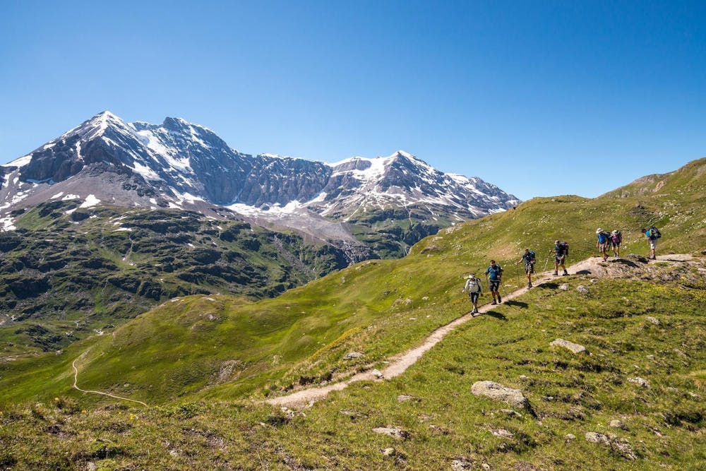
Total walking time: 3-4 hours, 980m of ascent, 200m of descent.
Hiking Moderate

From Champex, take a taxi across the Rhone valley and up a mountain road to drop you close to the Lac de Mauvoisin. From here, trek to the Cabane de Chanrion. For the first hour, you walk on a good path just above the lake before heading up to cross the Col de Tsofeiret at 2643m where you make the short descent to the hut for an overnight stay.
Moderate
Hiking along trails with some uneven terrain and small hills. Small rocks and roots may be present.
65 m away
A lovely walk past the Lac de Mauvoisin up to a well-positioned hut.
Difficult Hiking

9 routes · Alpine Climbing · Hiking