8.9 km away
Tour around Les Dents Blanches (Pas d'Encel - Col des Ottans - Pas au taureau - Pas de la Bide)
A steep and exposed hike. Beatifull panaromas
Severe Hiking
- Distance
- 26 km
- Ascent
- 2.3 km
- Descent
- 2.3 km
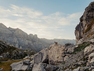
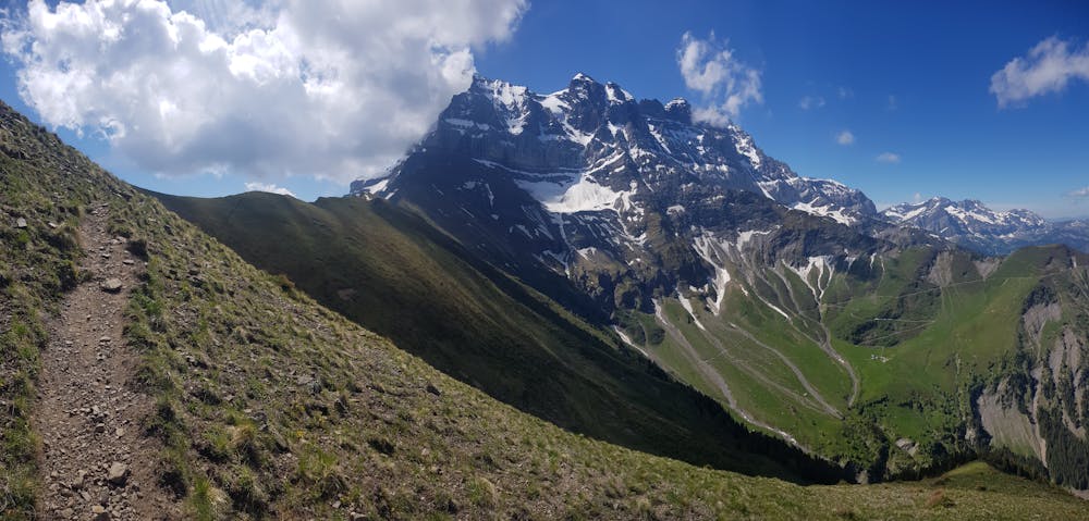
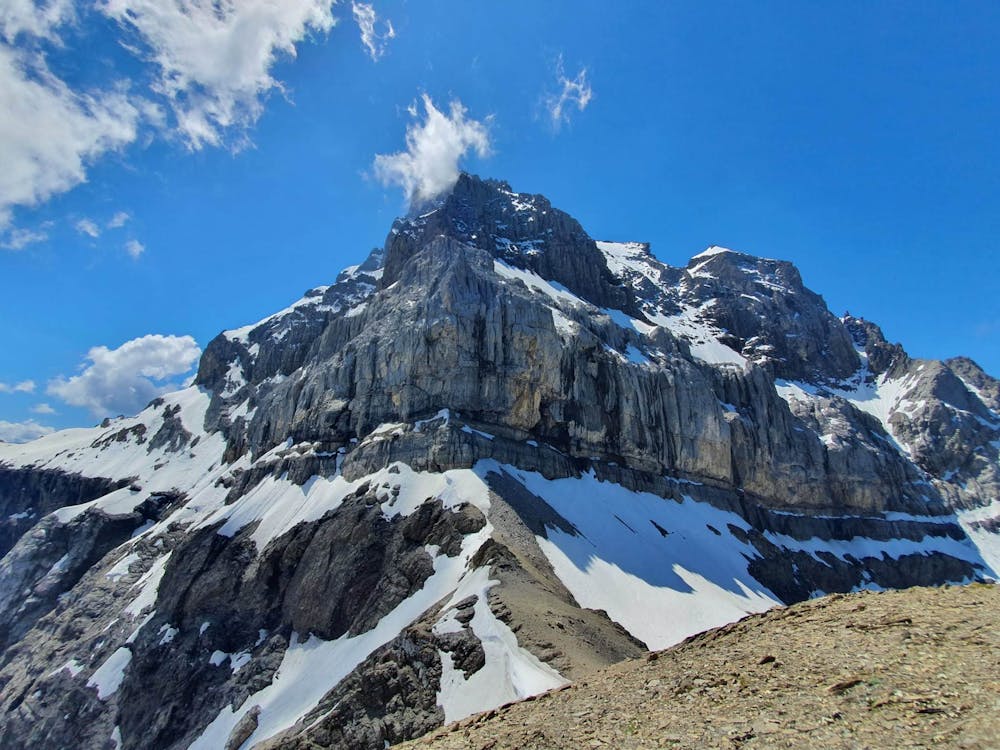
Breathtaking hike from Chindonne to the Refuge de Chalin, at the foot of Dents du Midi
Hiking Difficult

The hike starts at Chindonne, a nice auberge beneath the Dent de Valerette, accessible by car.
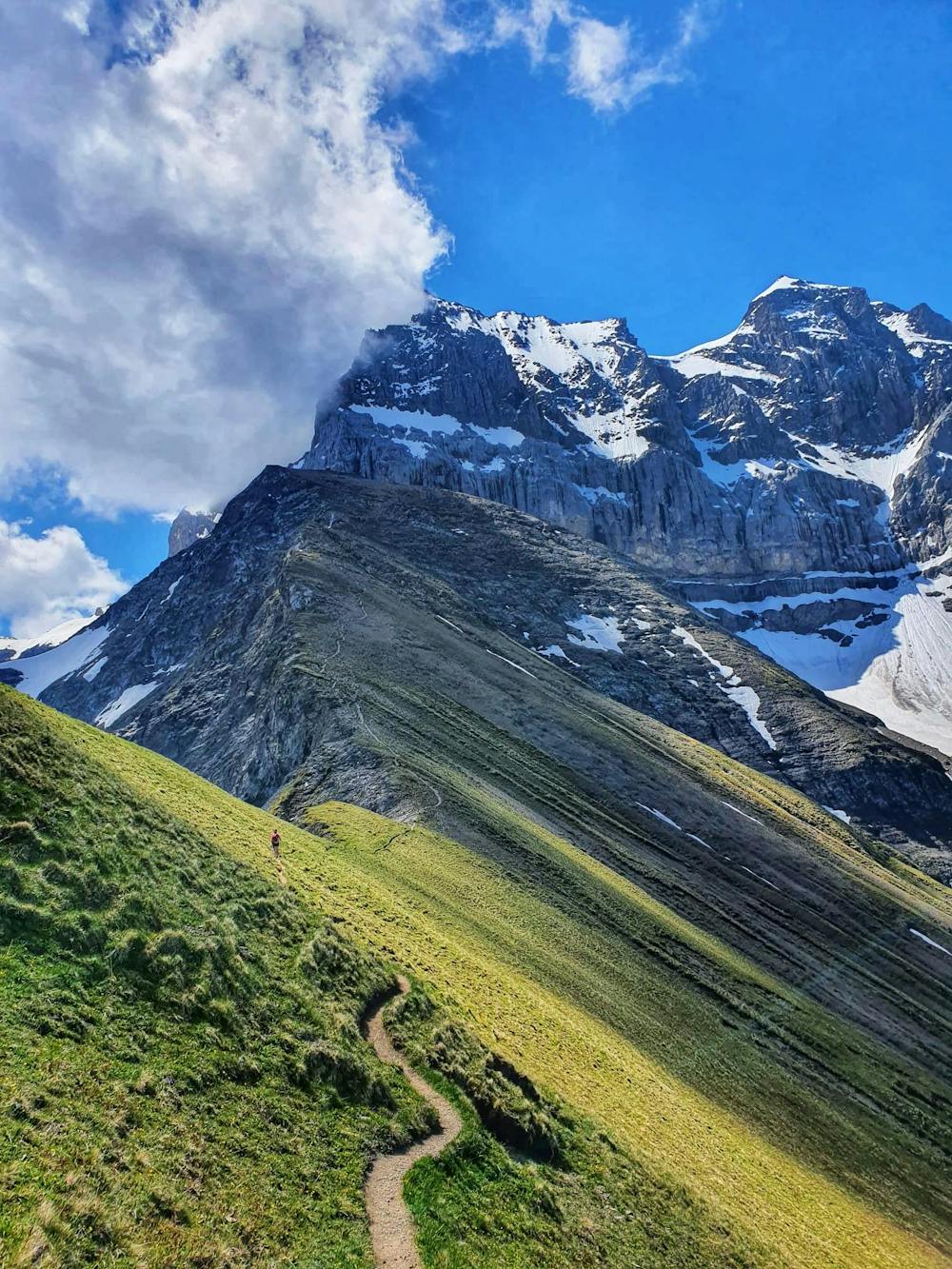
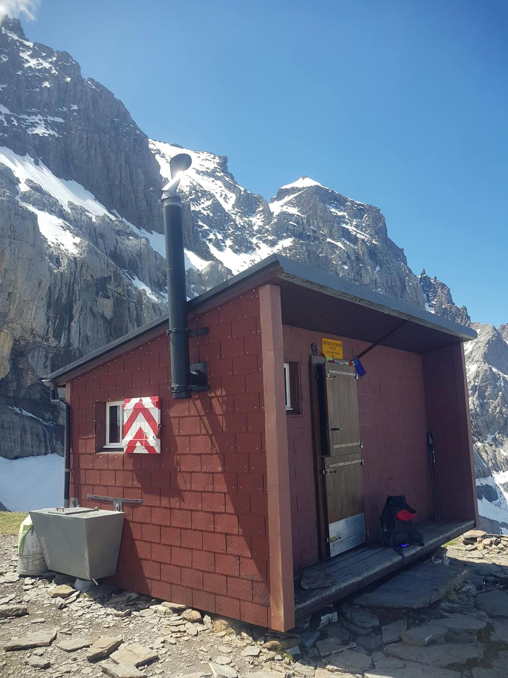
Several variations lead to the Refuge de Chalin. It is possible for instance to first climb to the top of Dent de Valerette (but some scrambling is required).
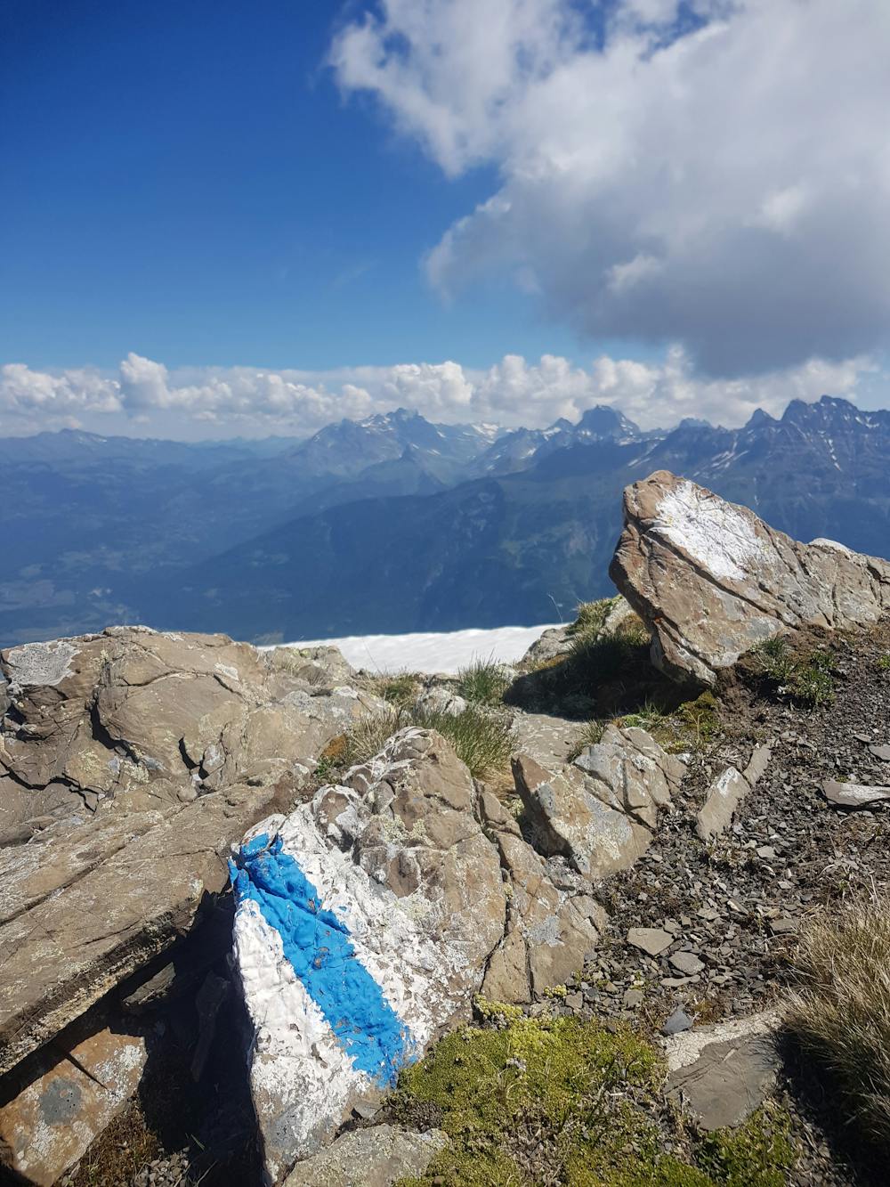
Gorgeous panoramas on the Dents du Midi are guaranteed all along the walk!
A bit of caution is required on the last stretch of the hike, which involves walking on an exposed ridge. Before heading out double-check that the trails are clear of snow.
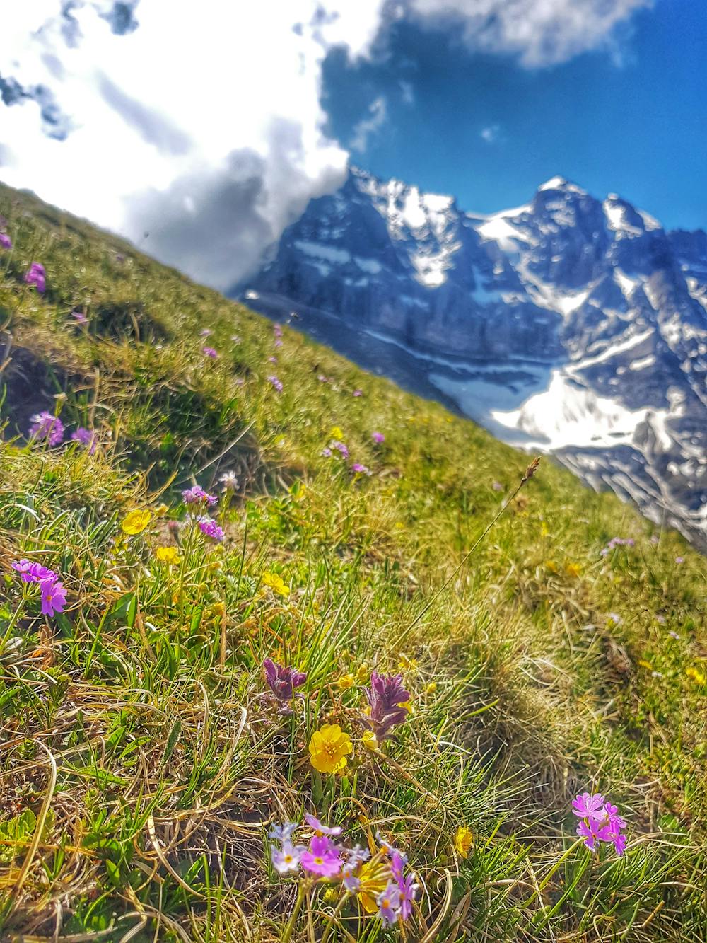
One last tip: In spring, this walk turns into a wild flower paradise, a must see!
Difficult
Hiking trails where obstacles such as rocks or roots are prevalent. Some obstacles can require care to step over or around. At times, the trail can be worn and eroded. The grade of the trail is generally quite steep, and can often lead to strenuous hiking.

Some trail sections have exposed ledges or steep ascents/descents where falling could cause serious injury.

Away from help but easily accessed.
8.9 km away
A steep and exposed hike. Beatifull panaromas
Severe Hiking