4.6 km away
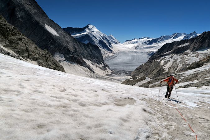
Approach to the Oberalestch Hut
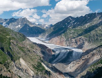
A lift-assisted walk, finishing up a balcony path high above the Oberaletsch glacier
Difficult Hiking
- Distance
- 9.8 km
- Ascent
- 899 m
- Descent
- 360 m
Randonnée/Bivouac en 2 jours, vue sur le plus grand glacier d'Europe: L'Aletsch Arena puis randonnée alpine pour gravir les sommets du Eggishorn et Bettmerhorn.
Hiking Difficult

Randonnée et Bivouac sur 2 jours à la découverte du glacier d'Aletsch + de l'Eggishorn (2926m) et Bettmerhorn (2857m).
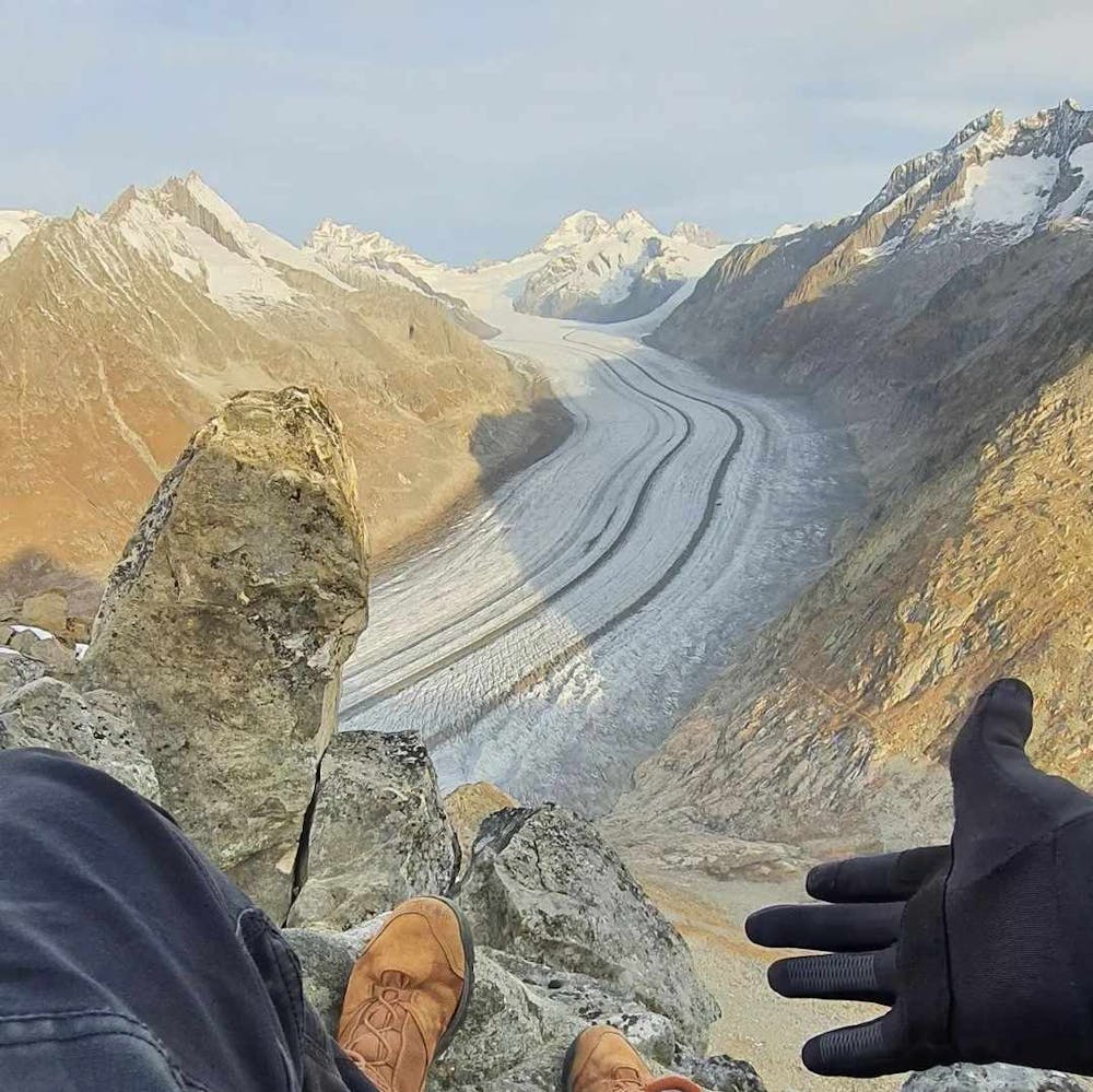
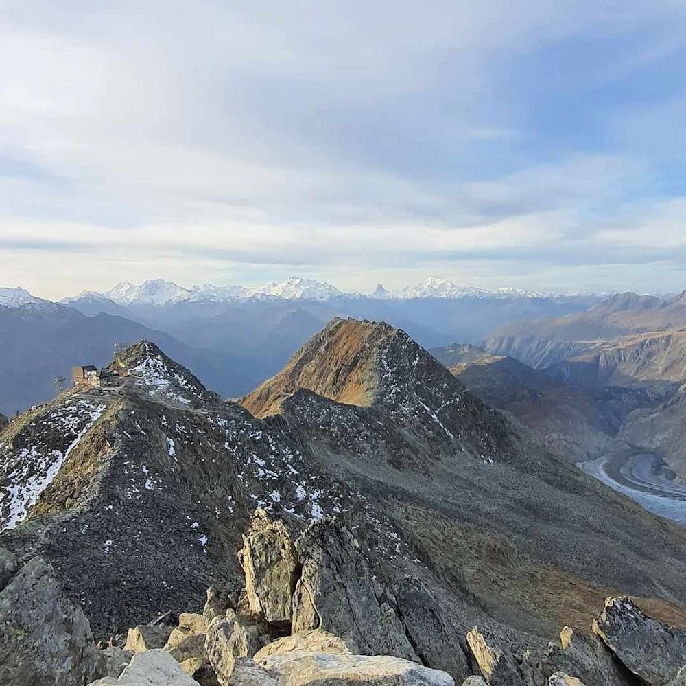
Randonnée cotation T3 Randonnée Alpine (marquage blanc-bleu-blanc) kil-19.5 au kil-21.5 27.5 km / 1775 d+ / Alt max 2926m
Cabane de Gletscherstube Märjelen au kil-14.5 Bivouac au kil-16
Coordonnées GPS du parking: 46.356827, 8.046194 Coordonnées GPS du bivouac: 46.433121, 8.102301 Coordonnées GPS Eggishorn: 46.431398, 8.094332 Coordonnées GPS Bettmerhorn: 46.414144, 8.080065
Difficult
Hiking trails where obstacles such as rocks or roots are prevalent. Some obstacles can require care to step over or around. At times, the trail can be worn and eroded. The grade of the trail is generally quite steep, and can often lead to strenuous hiking.

The trail contains some obstacles such as outcroppings and rock which could cause injury.

Close to help in case of emergency.
4.6 km away
A lift-assisted walk, finishing up a balcony path high above the Oberaletsch glacier
Difficult Hiking
10 routes · Alpine Climbing · Hiking