302 m away
Mont Noble from Nax via the Forest
A beautiful scenic route up Mont Noble from the pretty village of Nax through the small forest paths. A full day hike but never too hard.
Difficult Hiking
- Distance
- 7.3 km
- Ascent
- 1.3 km
- Descent
- 6 m
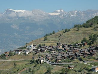
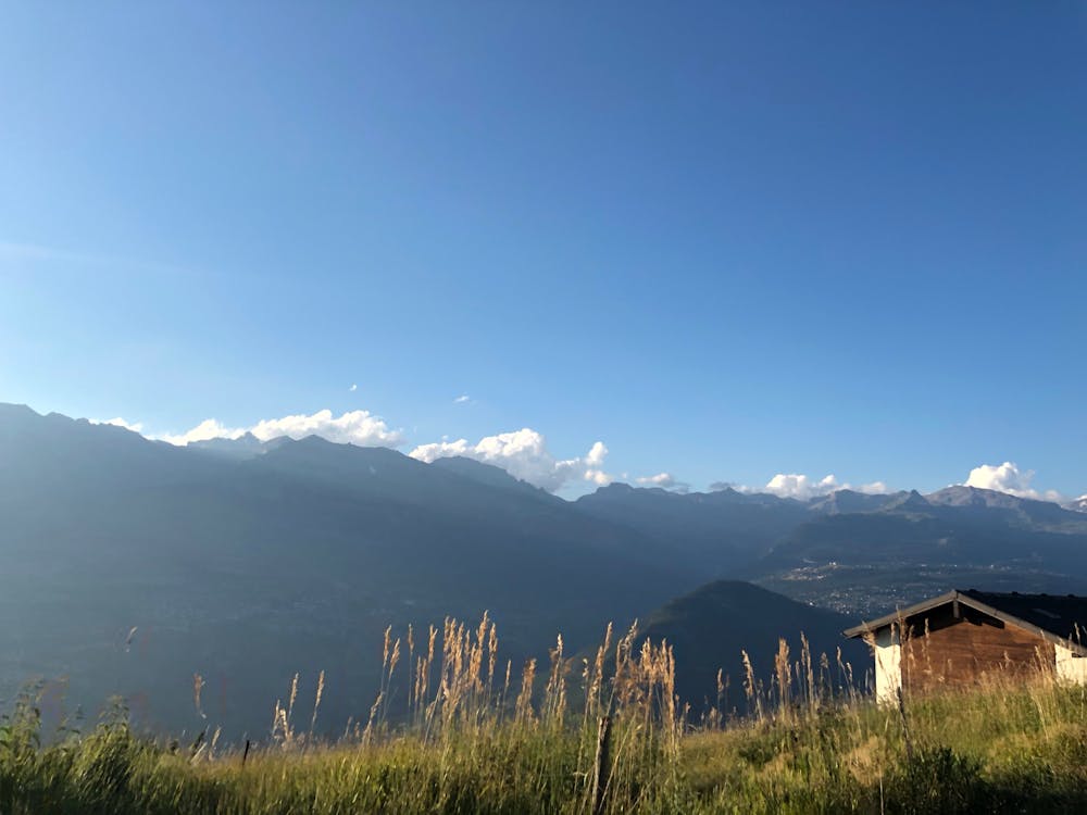
A short, easy walk with fantastic views of the valley below.
Hiking Easy

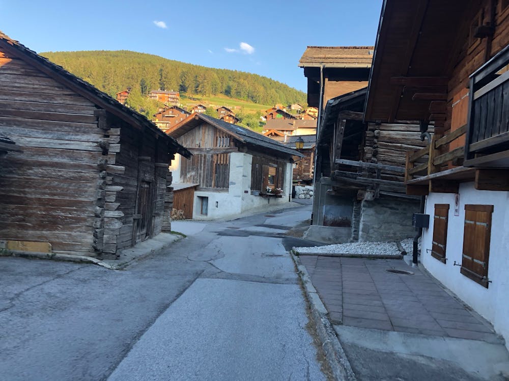
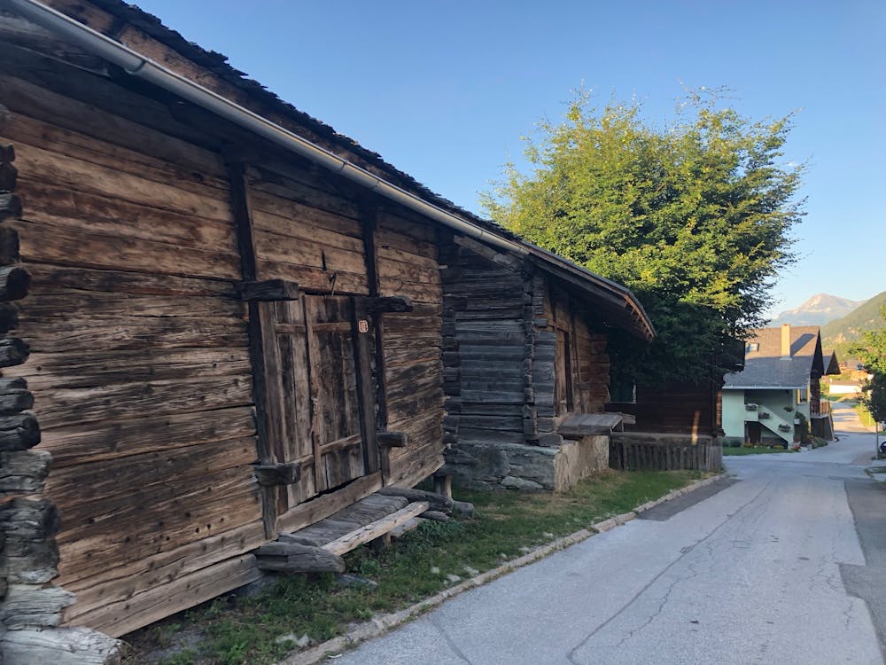
An easy walk, starting at the church, through the old part of the village and then around the outside of the village on a quiet and wide track that has excellent views of the valley below.
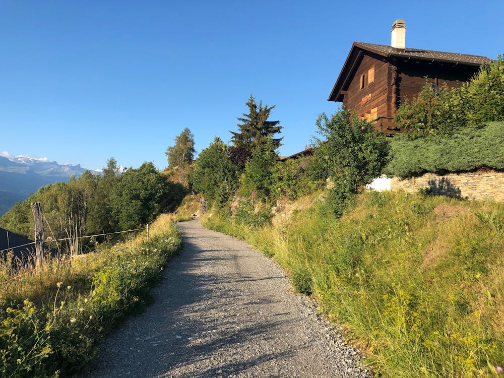
Along the back road, you can take a short detour up some steps to the viewpoint signposted Peleveroz—a perfect quiet place to stop and take in the view.
There is minimal height gain and the path is always wide and level. The part around the outside of the village is on a gravel road, but it's still pushchair friendly.
Towards the end of the walk you pass by the football field and playground. Under the football field is also the nuclear shelter for the whole village!
The walk finishes along the road back to the beautiful church.
Easy
Walking along a well-kept trail that’s mostly flat. No obstacles are present.

The trail contains some obstacles such as outcroppings and rock which could cause injury.
Away from help but easily accessed.
302 m away
A beautiful scenic route up Mont Noble from the pretty village of Nax through the small forest paths. A full day hike but never too hard.
Difficult Hiking
363 m away
An easy short stroll through the shady forest with wild fruits and good views of the valley below.
Easy Hiking
5.2 km away

A long, quiet, and wild walk through the high alpine with a fantastic lakeside lunch stop
Moderate Hiking