11 m away
Bernese Oberland Tour: Ebnefluh to Loetschental
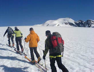
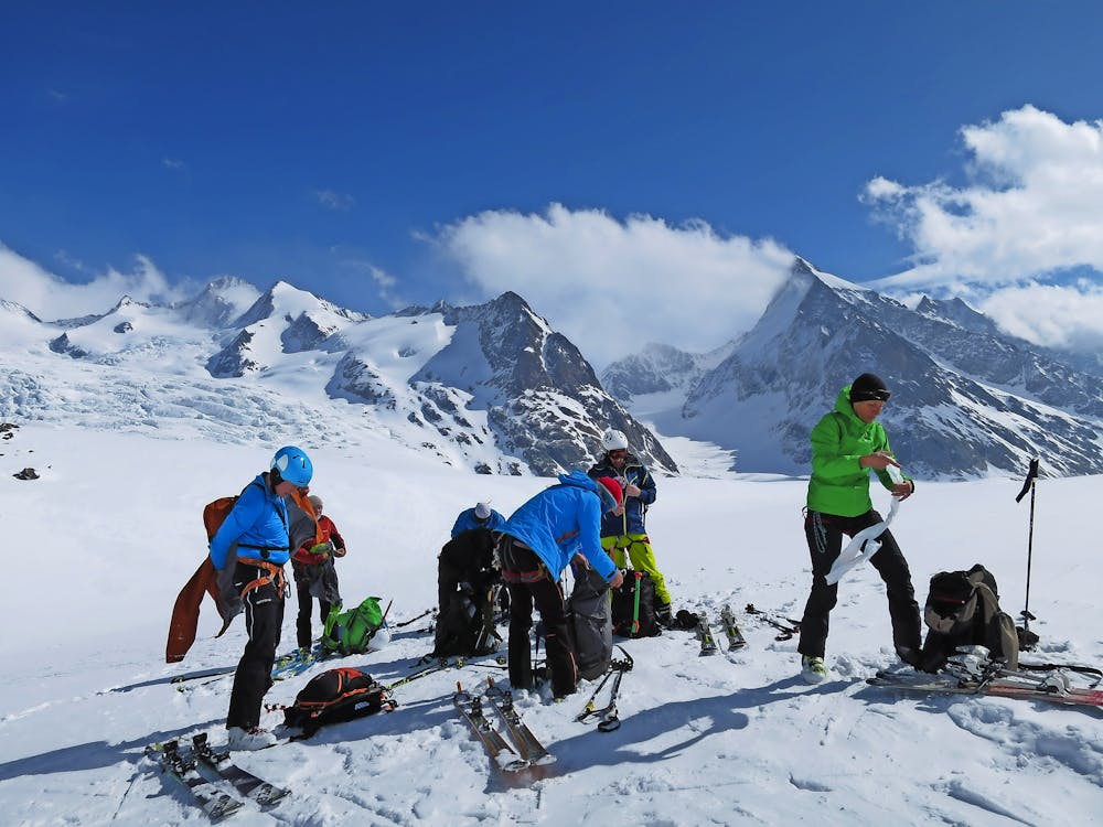
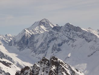
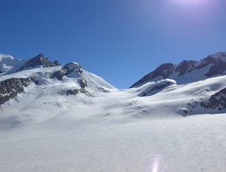
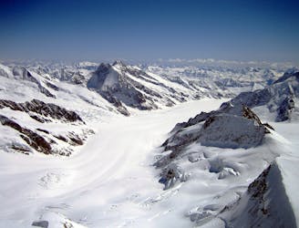
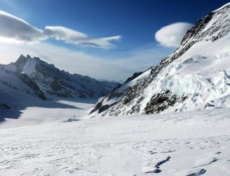
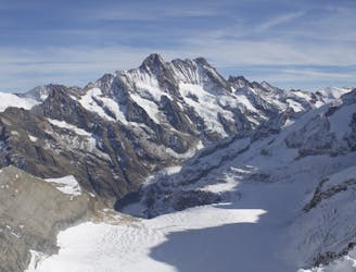
Day 6: Ebnefluh, 3962m followed by a 2000m descent down the Loetschental
Difficult Ski Touring
- Distance
- 22 km
- Ascent
- 753 m
- Descent
- 2.4 km
Wide glacial expanses, relaxed ascents followed by the Sunday highlight of an endlessly long run down from the Äbeniflue at 3,962 meters into the Lötschental valley to the Fafleralp
Ski Touring Moderate

Program: 'After an invigorating breakfast, the group will embark on the ascent over the Äbeniflue Firn to the summit of the Äbeniflue. Around two hours later, you can enjoy the stunning panoramic view from the top of the Äbeniflue at 3,962 meters. After a well-earned rest on the summit, we will start the unique and endlessly long run back down to the Fafleralp at the very back of the Lötschental valley. A fitting reward for your efforts. (Distance: 5 km. Hiking time: 2.5 hours; Ascent: 750 vertical meters).' (https://www.mammutalpineschool.com/en/skihochtour-jungfraujoch-aebeniflue-3962-m/?cache-refresh=1).
Moderate
Slopes become slightly steeper at around 25-30 degrees.

In case of a fall, death is highly likely.

Away from help but easily accessed.
11 m away
Day 6: Ebnefluh, 3962m followed by a 2000m descent down the Loetschental
Difficult Ski Touring
5 km away
Day 5: The easiest, though not easy, route to one of the remotest and most coveted 4000m peaks in the Alps. NOTE: THE MITTELALETSCHBIWAK IS NOW A RUIN. It was destroyed by an avalanche in 2019.
Severe Ski Touring
7.6 km away
Day 2: Over a pass, descending the far side before reascent to the Wysnollen, 3590m
Moderate Ski Touring
7.6 km away
Day 5: Traverse of Kranzberg, 3666m, followed by ascent to the Hollandia Hut, 3235m
Severe Ski Touring
8.3 km away
Day 1: The amazing Jungfraujoch railway accessing the biggest glaciated area in Europe and our first ski peak on the way to the hut.
Difficult Ski Touring
8.3 km away
Day 1: A positioning day from the top of the Jungfraujoch train, easily down the glacier then a 500m skin over a pass at 3820m.
Moderate Ski Touring
5 routes · Ski Touring

16 routes · Ski Touring