4.9 km away
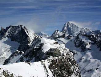
Vignettes Hut - Zermatt
THE big day on the classic Haute Route all the way to Zermatt
Difficult Ski Touring
- Distance
- 28 km
- Ascent
- 1.3 km
- Descent
- 2.8 km
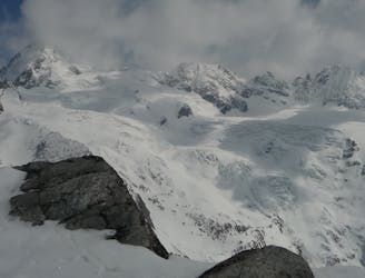
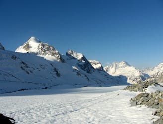
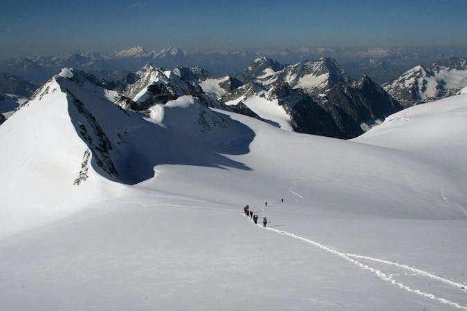
One of the major days on the classic Haute Route traversing the Pigne d'Arolla
Ski Touring Difficult

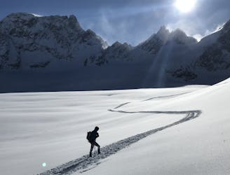
Leave the Dix Hut and ski down onto the Glacier de Cheilon. Pop the skins on and climb eastwards up the glacier below the Pointes de Tsena Réfien, sticking fairly close to the cliffs above in the upper section. After a brief deviation onto the glacier proper, climb upwards again towards the Col de la Serpentine. Swing east again along the plateau to reach a conspicuous steep section known as 'The Serpentine'. This steep slope can be hard packed or icy and the steep drops of the seracs to the left lie very close to the track, a fall could be fatal. On occasions steel crampons, as opposed to aluminium ones, can be highly desirable.
![[Photosophie2018] Arrivée au Pigne d'Arolla](https://fatmap-digitiser-assets.imgix.net/44ddb317-4a1c-4ca3-bc75-1c51e17cd863?w=1000&fit=crop&auto=compress%2Cformat)
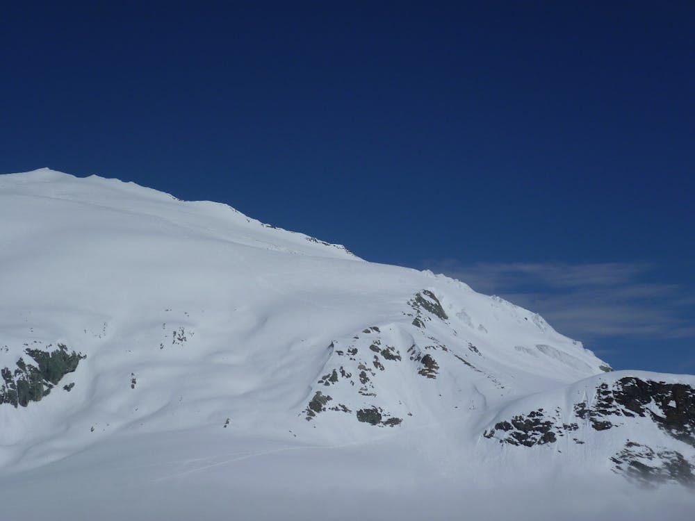
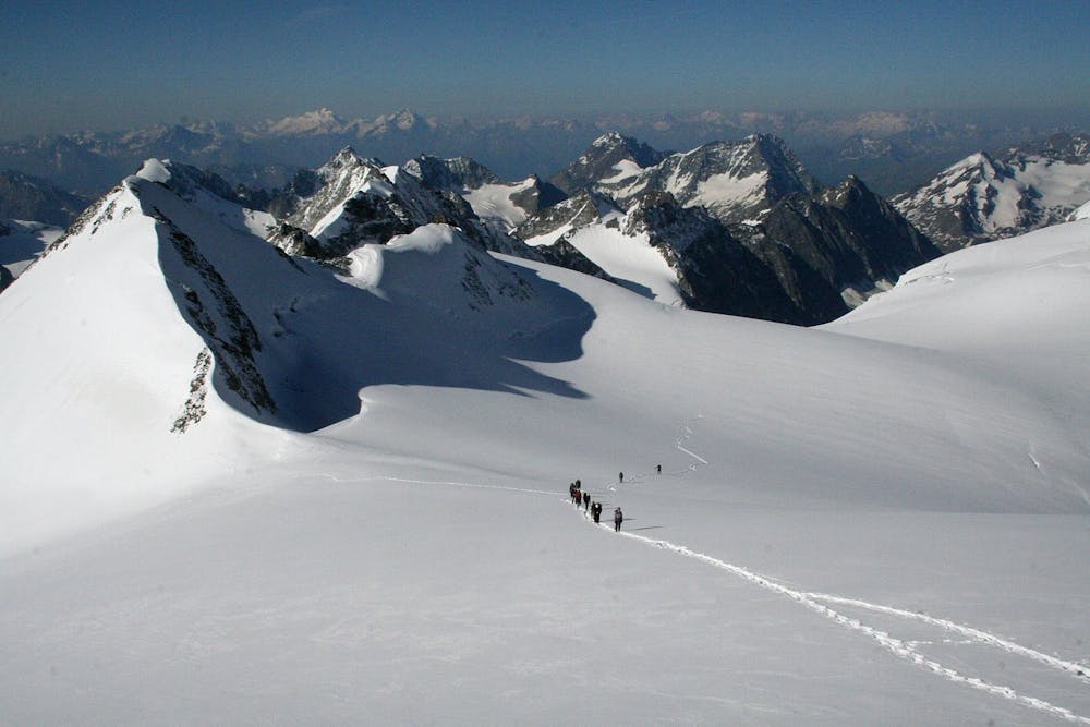
In optimum conditions it will be possible to skin up the Serpentine, but take care on the steep kick turns as well as exiting the steep section. Here there are often crevasses as the angle eases. Continue over the Col du Brenay towards the col just below the Pigne d'Arolla's summit (often marked by red flags for heliski parties), a short deviation allows you to skin directly to the summit. Descend the east side of the mountain down to approximately 3400m avoiding the steepest sections of the slope. Close to some small rock buttresses the best descent swings to the right (south) before heading back to the north to avoid the cliffs. Variations do exist here cutting off the corner, but all options are steep and require confident skiing. Aim for the Col des Vignettes, skating or side stepping along the slope on the north side of the ridge, or doing a short section on foot. Following this some steps take you up and into the hut.
Take crevasse rescue kit in your group and have recently practised prussiking and crevasse rescue. A minimum would be 30m ropes x 2 in the group, and each person to carry a long sling, 3 screwgate karabiners, prussiks and an ice screw. Mechanical devices such as minitraxion, tibloc and ropeman can make it a lot easier.
Difficult
Serious gradient of 30-38 degrees where a real risk of slipping exists.

As well as the slope itself, there are some obstacles (such as rock outcrops) which could aggravate injury.

In the high mountains or remote conditions, all individuals must be completely autonomous in every situation.
4.9 km away
THE big day on the classic Haute Route all the way to Zermatt
Difficult Ski Touring
4.9 km away
The best day of the most famous ski tour in the world
Difficult Ski Touring
8 km away
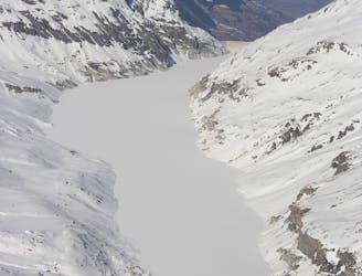
A long traverse along the side of Lac des Dix to the well positioned Dix Hut
Difficult Ski Touring
8.1 km away
A modern variation via Les Portons and Pigne d'Arolla
Difficult Ski Touring
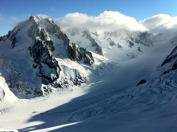
9 km away
An uphill segment up a glacier of Himalayan proportions
Difficult Ski Touring
7 routes · Ski Touring
6 routes · Ski Touring
7 routes · Ski Touring