1.2 km away
Chanrion Hut to Vignettes Hut (via Pigne d’Arolla)
A modern variation via Les Portons and Pigne d'Arolla
Difficult Ski Touring
- Distance
- 11 km
- Ascent
- 1.6 km
- Descent
- 929 m
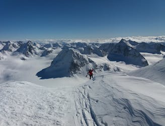
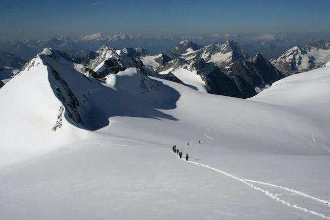
An uphill segment up a glacier of Himalayan proportions
Ski Touring Difficult

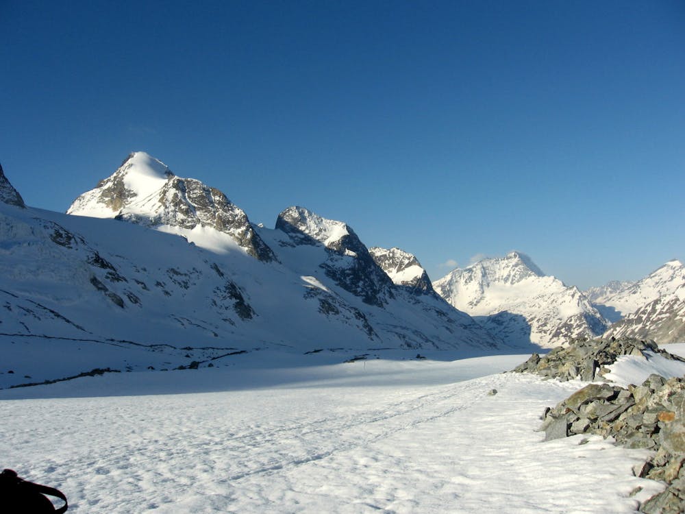
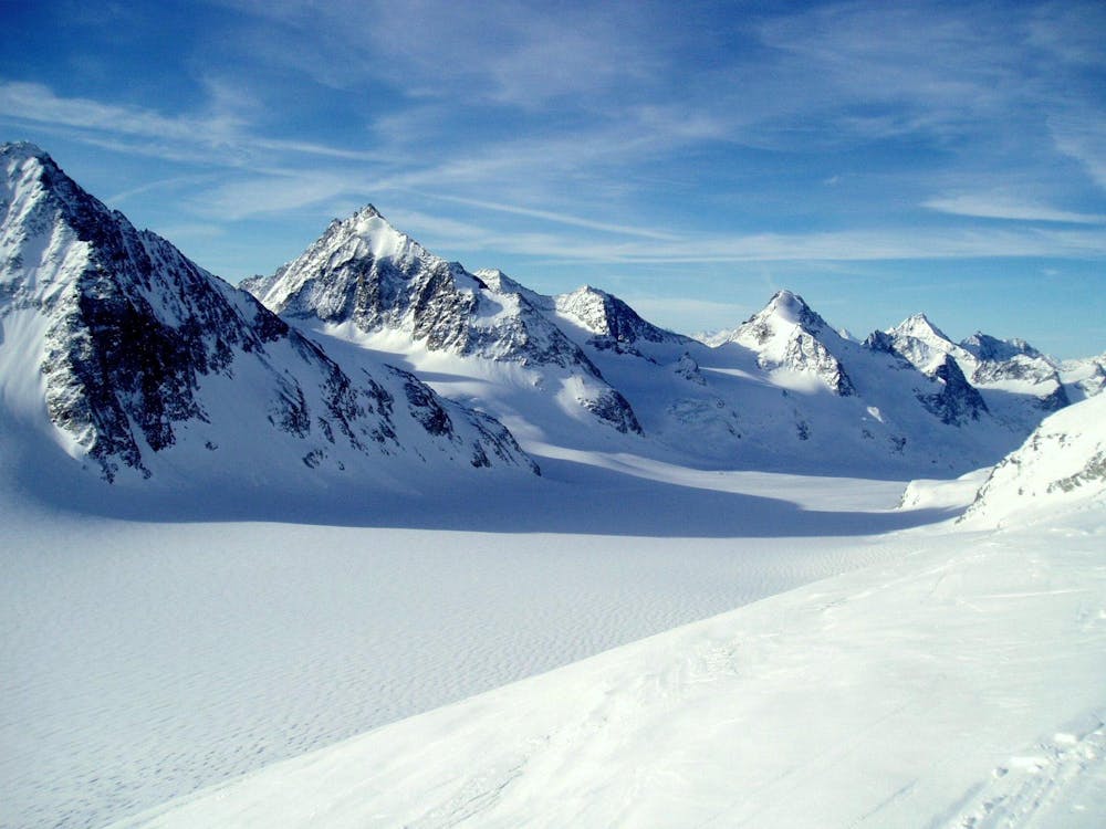
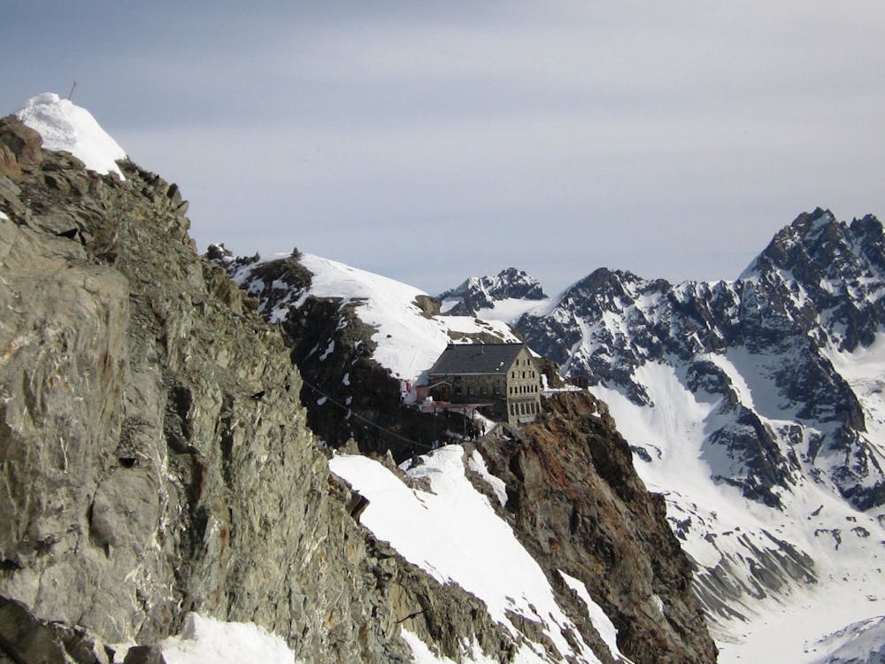
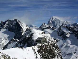
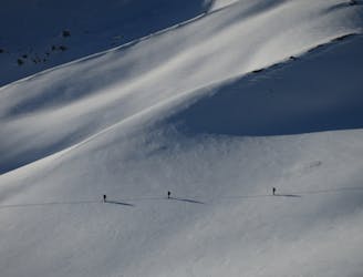
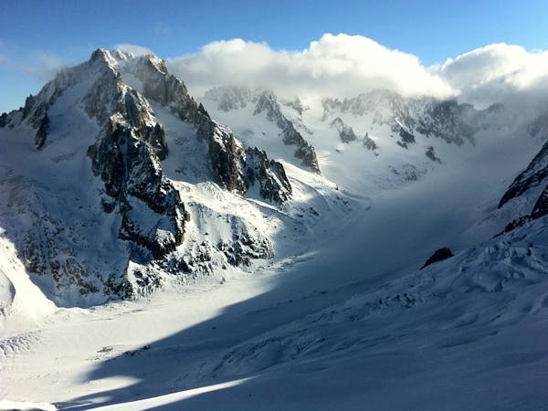
This long section up the Glacier d'Otemma is the most famous approach to the Vignettes Hut, but also one of unremitting monotony! It is often recommended as an option that can be achieved in poor weather or bad visibility, but good navigation remains essential. A small committing steepening before the Vignettes Hut has caught a few parties out in unstable conditions after the relative safety of the flat glacier section, be on your guard.
Head south east from the Chanrion Hut following the stream bed past a small hydro plant to access the Glacier d'Otemma (beware of steep ground above). Once established on the glacier the route is obvious taking the centre towards the col de Charmotane. From here swing to the north towards Pt 3160 negotiating a steep slope that requires caution in anything other than stable conditions. Aim for the Col des Vignettes, skating or side stepping along the slope on the north side of the ridge, or doing a short section on foot. Following this and some steps take you up and into the hut.
Difficult
Serious gradient of 30-38 degrees where a real risk of slipping exists.

As well as the slope itself, there are some obstacles (such as rock outcrops) which could aggravate injury.

In the high mountains or remote conditions, all individuals must be completely autonomous in every situation.
1.2 km away
A modern variation via Les Portons and Pigne d'Arolla
Difficult Ski Touring
9 km away
A committing day crossing the 'Plateau du Couloir'
Severe Ski Touring
9 km away
One of the major days on the classic Haute Route traversing the Pigne d'Arolla
Difficult Ski Touring
9.5 km away
THE big day on the classic Haute Route all the way to Zermatt
Difficult Ski Touring
9.5 km away
The best day of the most famous ski tour in the world
Difficult Ski Touring
7 routes · Ski Touring
6 routes · Ski Touring
7 routes · Ski Touring